MyTopo
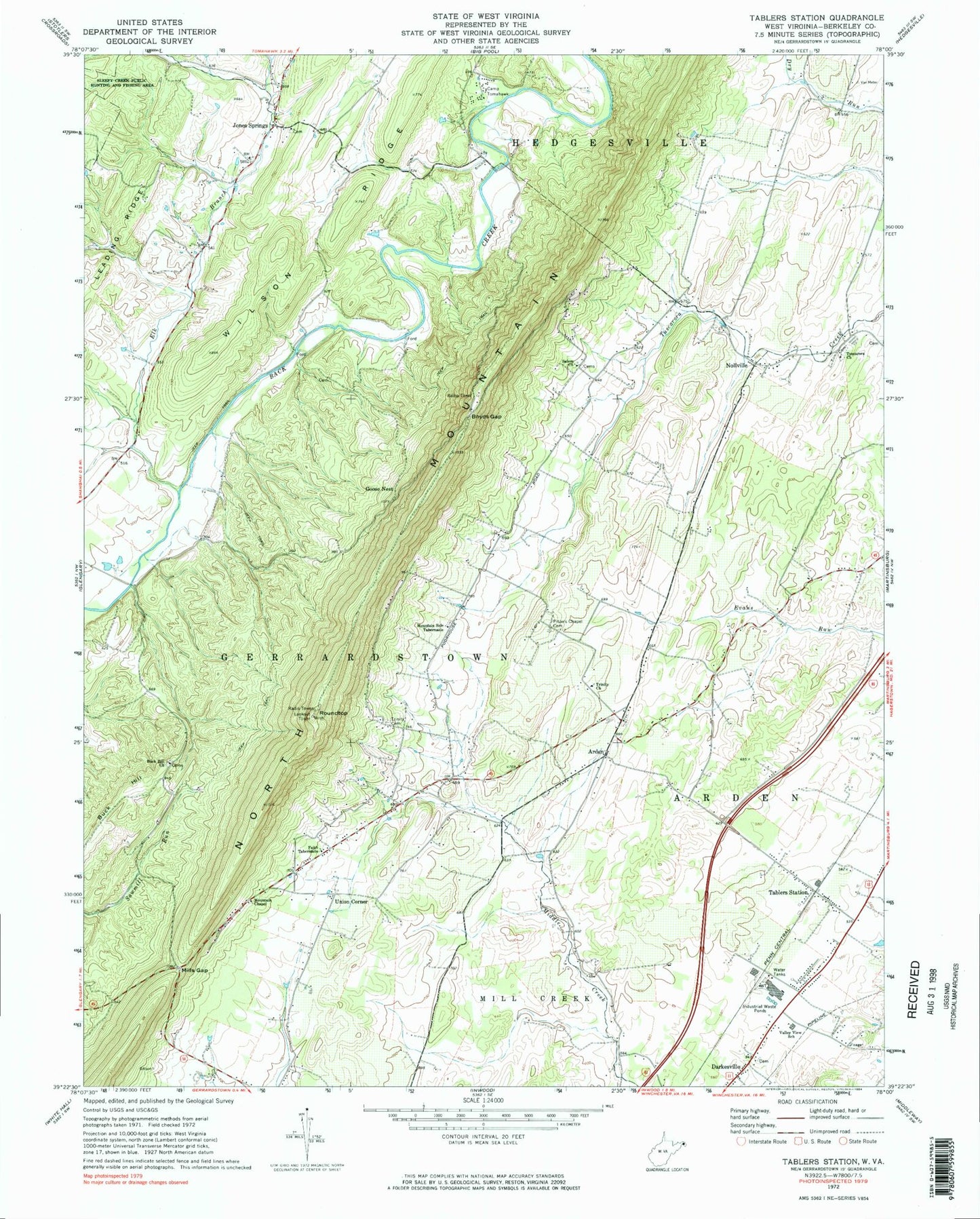
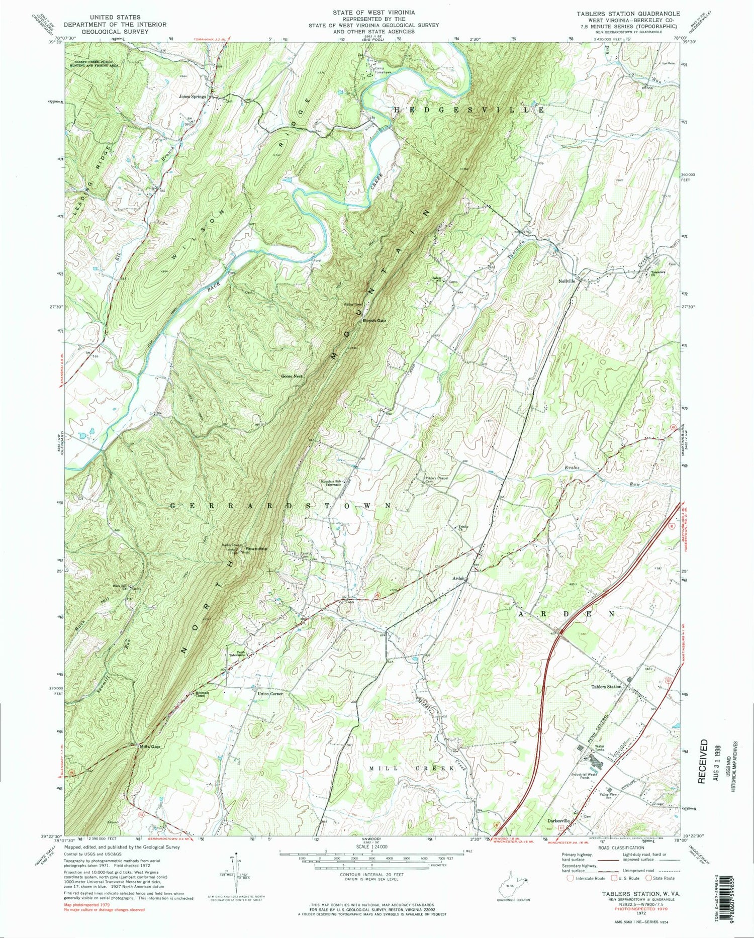
Classic USGS Tablers Station West Virginia 7.5'x7.5' Topo Map
Couldn't load pickup availability
Historical USGS topographic quad map of Tablers Station in the state of West Virginia. Map scale may vary for some years, but is generally around 1:24,000. Print size is approximately 24" x 27"
This quadrangle is in the following counties: Berkeley.
The map contains contour lines, roads, rivers, towns, and lakes. Printed on high-quality waterproof paper with UV fade-resistant inks, and shipped rolled.
Contains the following named places: Arden, Arden United Methodist Church, Arden United Methodist Church Cemetery, Berkeley County, Berkeley County Home, Boyds Gap, Buck Hill, Buck Hill Cemetery, Buck Hill Church, Buck Hill Spring, Burkhart Spring, Calvary Cemetery, Calvary United Brethren Church, Camp Tomahawk, Darkesville Cemetery, Darkesville School, Elk Branch, Faith Tabernacle, Forest Hill School, Goose Nest, Griffith Spring, Jacob Snider Cemetery, Jones Spring, Jones Springs, Jones Springs Cemetery, Jones Springs Methodist Church, Jones Springs Post Office, Kees Spring, Kitchen Spring, McDonald Spring, Mills Gap, Mountain Chapel, Mountain Grove School, Mountain Side Tabernacle, Mountain Side Tabernacle Cemetery, Nollville, Norborne District, North Mountain, North Mountain Lookout Tower, Orchard View Intermediate School, Penry, Pitzers Chapel, Pitzers Chapel Cemetery, Ridge Road Historic District, Roundtop, Salem United Methodist Church, Salem United Methodist Church Cemetery, Smiths School, Tablers Station, Trinity Cemetery, Trinity Church, Tuscarora Cemetery, Tuscarora Presbyterian Church, Union Corner, Union Corner School, Valley District, Valley View Elementary School, Wilson Ridge, WKMZ-FM (Martinsburg), WYVN-TV (Martinsburg), ZIP Codes: 25403, 25420, 25428


