MyTopo
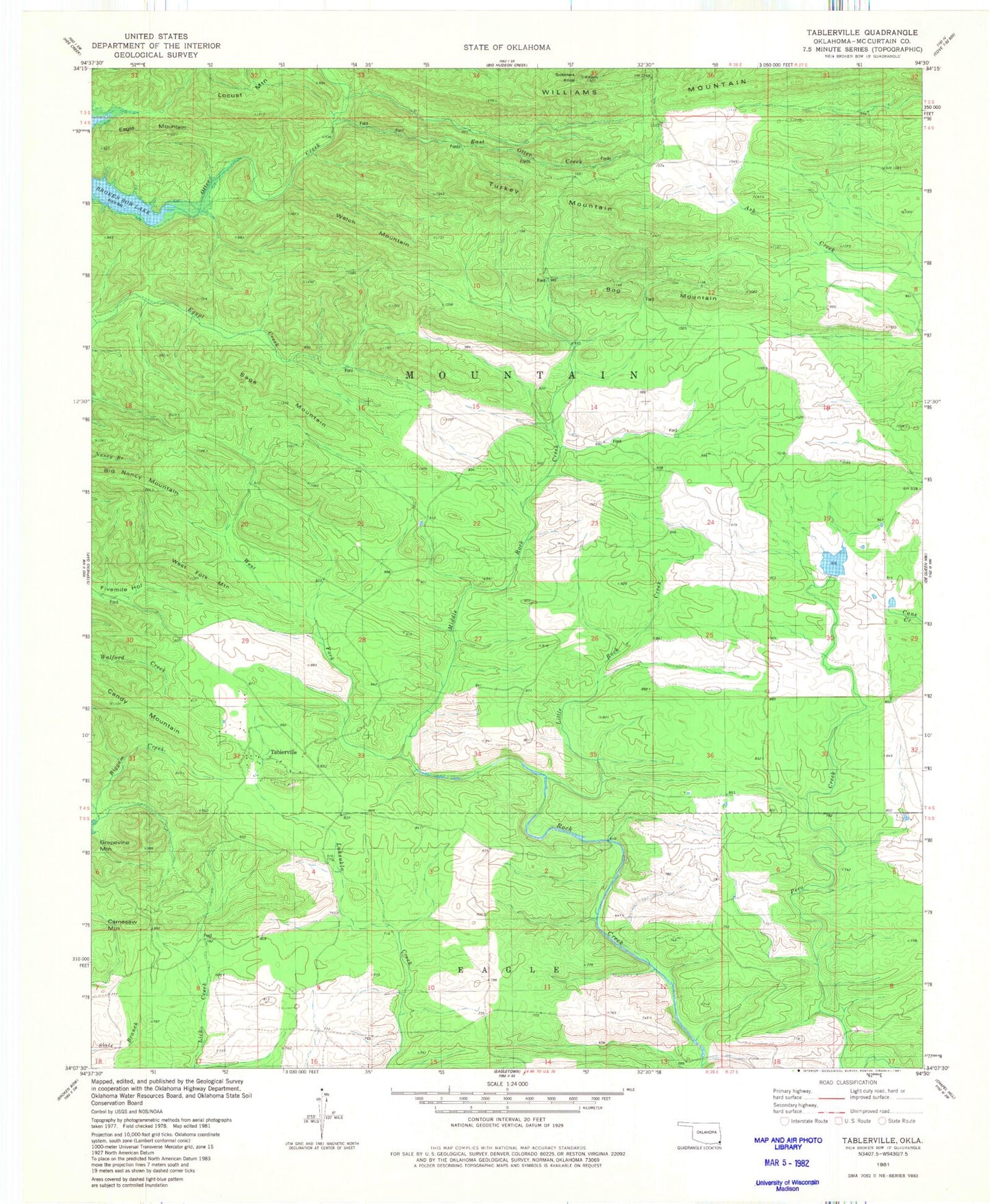
Classic USGS Tablerville Oklahoma 7.5'x7.5' Topo Map
Couldn't load pickup availability
Historical USGS topographic quad map of Tablerville in the state of Oklahoma. Map scale may vary for some years, but is generally around 1:24,000. Print size is approximately 24" x 27"
This quadrangle is in the following counties: McCurtain.
The map contains contour lines, roads, rivers, towns, and lakes. Printed on high-quality waterproof paper with UV fade-resistant inks, and shipped rolled.
Contains the following named places: Big Nancy Mountain, Bog Mountain, Eagle Mountain, East Otter Creek, Gobblers Knob, Henderson Lake, Henderson Lake Dam, Hochatown Mountain, Kennedy Mountain, Little Rock Creek, Locust Mountain, Luksuklo Creek, Middle Rock Creek, Sage Mountain, Tablerville, Turkey Mountain, Welch Mountain, West Fork Middle Rock Creek, West Fork Mountain, Williams Mountain