MyTopo
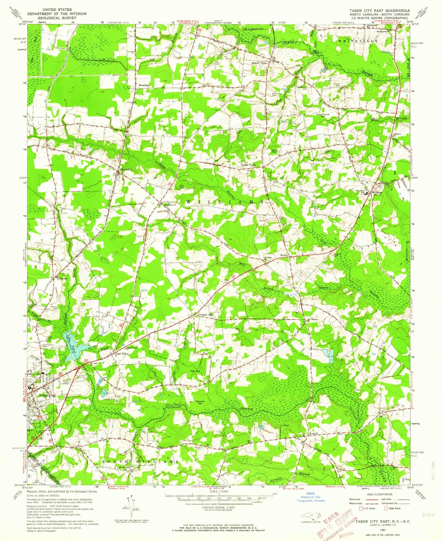
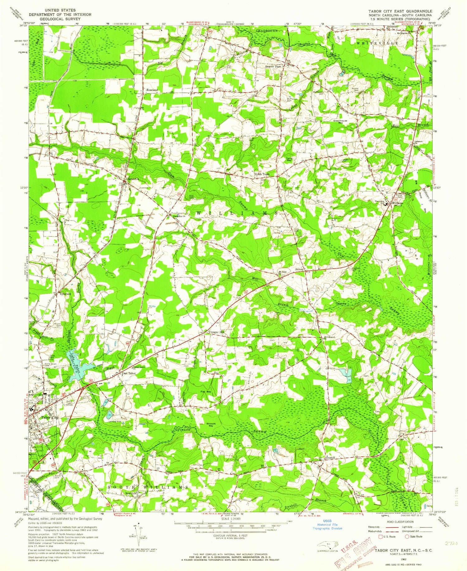
Classic USGS Tabor City East North Carolina 7.5'x7.5' Topo Map
Couldn't load pickup availability
Historical USGS topographic quad map of Tabor City East in the state of North Carolina. Map scale may vary for some years, but is generally around 1:24,000. Print size is approximately 24" x 27"
This quadrangle is in the following counties: Columbus, Horry.
The map contains contour lines, roads, rivers, towns, and lakes. Printed on high-quality waterproof paper with UV fade-resistant inks, and shipped rolled.
Contains the following named places: Beaver Dam, Big Pond Bay, Big Pond Branch, Black Creek, Boggy Hill Branch, Cedar Branch, Clarendon, Clarendon Church, Clarendon Post Office, Cribb Cemetery, Cribb Town, Cypress Branch, East Tabor, Emerson, Emmanuel Church, Flat Bay, Forest Lawn Church, Fowler Cemetery, Graveyard Branch, Greenhouse Bay, Gum Swamp, Hinson Cemetery, Ironhill, Ironhill Branch, Lake Tabor, Lebanon Church, McPherson Cemetery, Meares Cemetery, Mill Branch Church, Mount Elgrim Church, Mount Sinai Church, Myrtle Green Cemetery, New Life, Norris Cemetery, Pentecostal Free Will Baptist Church, Prince Cemetery, Rogers Field, Roseland, Roseland Volunteer Fire Department, Sidney, Simons Branch, Skeebo Branch, Soles Cemetery, Spivey Cemetery, Spring Branch, Strouds Bay, Sweet Water Branch, Tabor City Police Department, Tabor City Post Office, Tabor City Rescue Squad, Tabor City Wastewater Treatment Plant, Todd Cemetery, Torry Bay, Town of Tabor City, Township of South Williams, Township of Williams, Vinegar Hill, Williams, Williams Township High School, Williams Township Volunteer Fire Department, WKSM-FM (Tabor City), WTAB-AM (Tabor City), ZIP Code: 28432


