MyTopo
Classic USGS Taborton New York 7.5'x7.5' Topo Map
Couldn't load pickup availability
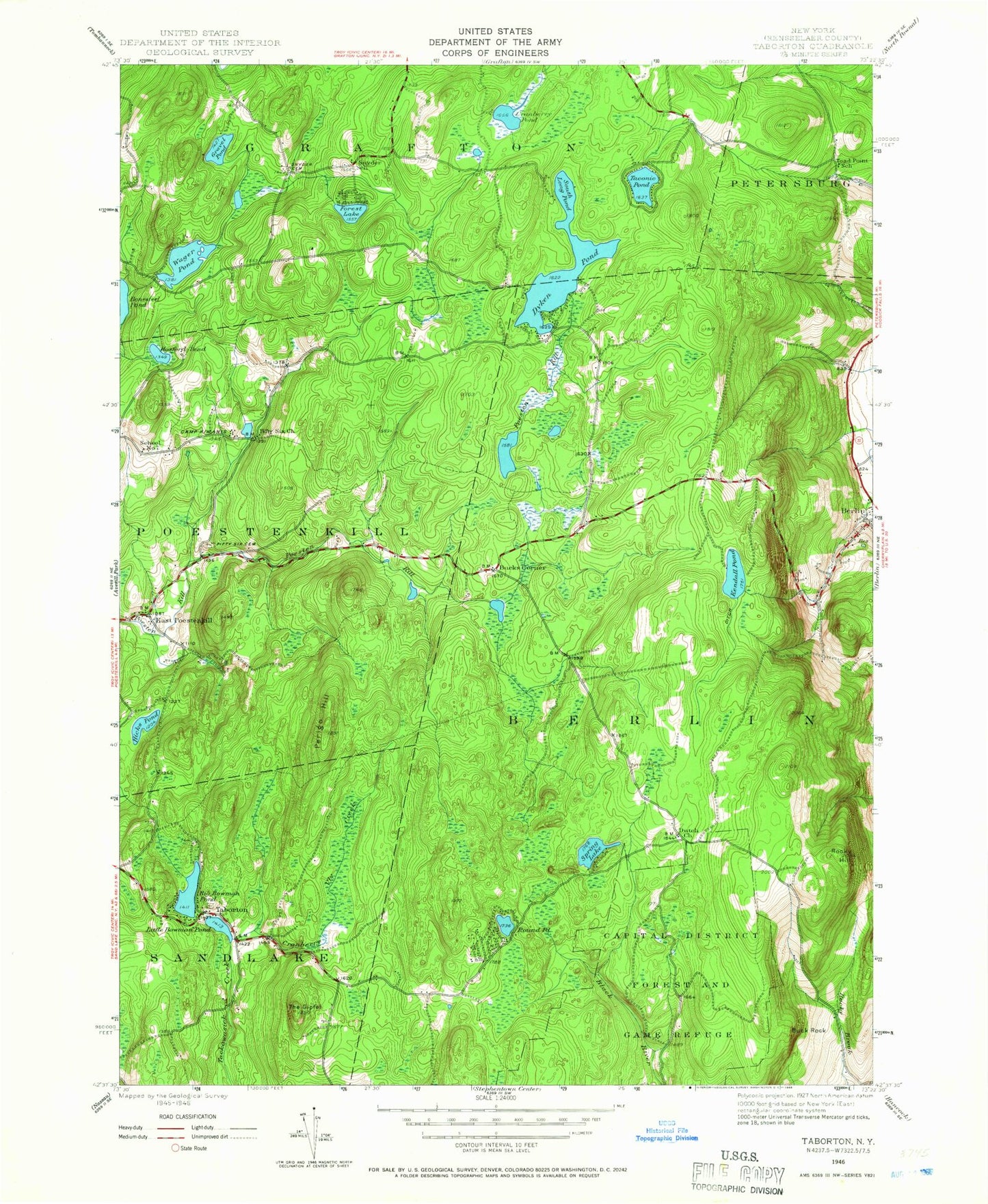
Historical USGS topographic quad map of Taborton in the state of New York. Typical map scale is 1:24,000, but may vary for certain years, if available. Print size: 24" x 27"
This quadrangle is in the following counties: Rensselaer.
The map contains contour lines, roads, rivers, towns, and lakes. Printed on high-quality waterproof paper with UV fade-resistant inks, and shipped rolled.
Contains the following named places: Big Bowman Pond, Bonesteel Pond, Buck Rock, Camp Kiwanis, Cranberry Pond, Cranberry Vly Creek, Dutch Church, Dyken Pond, East Poestenkill, Fifty Six Cemetery, Fifty Six Church, Forest Lake, Gravel Pond, Hicks Pond, Hosford Pond, Kendall Pond, Little Bowman Pond, Perigo Hill, Rocky Hill, Round Pond, Snyder Cemetery, Snyder School, South Long Pond, Spring Lake, Taborton, Taconic Pond, The Gipfel, Toad Point School, Wager Pond, Bucks Corner, School Number 7, First Baptist Church of East Poestenkill, Union Gospel Church, Zion United Church of Christ, Big Bowman Pond, Bonesteel Pond, Buck Rock, Camp Kiwanis, Cranberry Pond, Cranberry Vly Creek, Dutch Church, Dyken Pond, East Poestenkill, Fifty Six Cemetery, Fifty Six Church, Forest Lake, Gravel Pond, Hicks Pond, Hosford Pond, Kendall Pond, Little Bowman Pond, Perigo Hill, Rocky Hill, Round Pond, Snyder Cemetery, Snyder School, South Long Pond, Spring Lake, Taborton, Taconic Pond, The Gipfel, Toad Point School, Wager Pond, Bucks Corner, School Number 7, First Baptist Church of East Poestenkill, Union Gospel Church, Zion United Church of Christ


