MyTopo
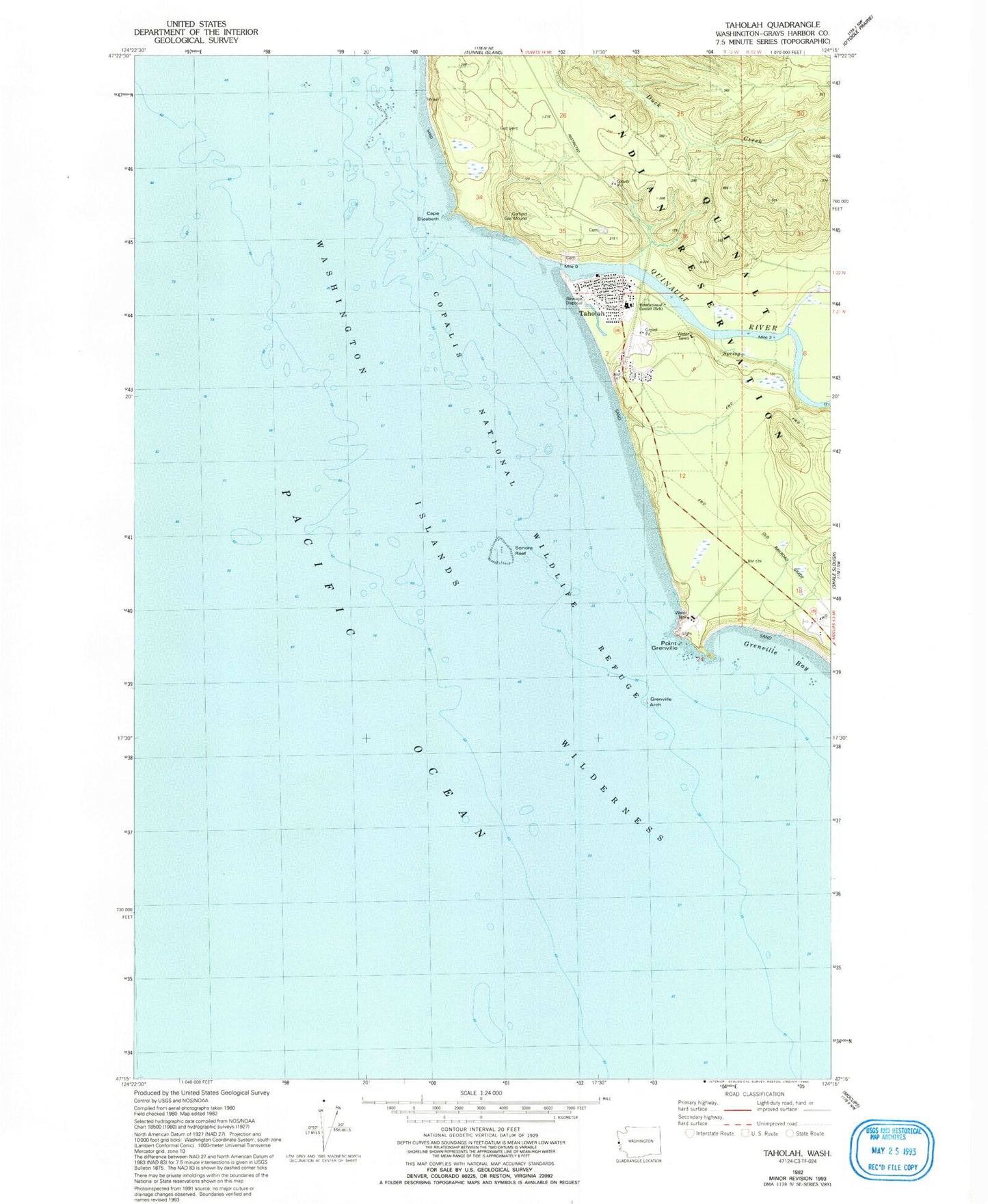
Classic USGS Taholah Washington 7.5'x7.5' Topo Map
Couldn't load pickup availability
Historical USGS topographic quad map of Taholah in the state of Washington. Map scale may vary for some years, but is generally around 1:24,000. Print size is approximately 24" x 27"
This quadrangle is in the following counties: Grays Harbor.
The map contains contour lines, roads, rivers, towns, and lakes. Printed on high-quality waterproof paper with UV fade-resistant inks, and shipped rolled.
Contains the following named places: Cape Elizabeth, Copalis Rock National Wildlife Refuge, Garfield Gas Mound, Grenville Arch, Grenville Bay, Point Grenville, Quinault Indian Nation Moclips River Estates Wastewater Treatment Plant, Quinault Indian Nation Taholah Village Wastewater Treatment Plant, Quinault Nation Ambulance, Quinault Nation Police Department, Quinault River, Quinault Road Bridge, Sonora Reef, Taholah, Taholah Census Designated Place, Taholah Fire Department, Taholah Post Office, Taholah School