MyTopo
Classic USGS Takilma Oregon 7.5'x7.5' Topo Map
Couldn't load pickup availability
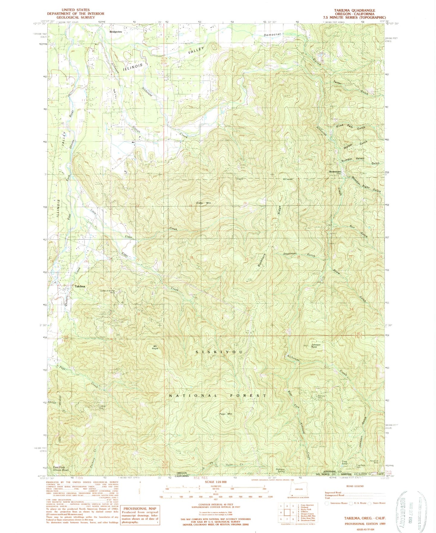
Historical USGS topographic quad map of Takilma in the state of Oregon. Map scale may vary for some years, but is generally around 1:24,000. Print size is approximately 24" x 27"
This quadrangle is in the following counties: Del Norte, Josephine, Siskiyou.
The map contains contour lines, roads, rivers, towns, and lakes. Printed on high-quality waterproof paper with UV fade-resistant inks, and shipped rolled.
Contains the following named places: All Hours, Althouse Slough, Blind Sam Gulch, Browntown, Browntown Gulch, Browntown Post Office, Buckhorn Ridge, Cave Junction Division, Deadman Gulch, Democrat Gulch, Elder Creek, Elder Mountain, Frog Gulch, Frog Pond, Frog Pond Mine, Garradella Gulch, George Drain, Goldsby Gulch, Hansford Gulch, Horseshoe Gulch, Hydraulic Gulch, Illinois Valley Fire District Station 4, Illinois Valley Fire District Station 6, Johnson Gulch, Johnson Point, Julian Gulch, Khoeery Creek, Lime Gulch, Little Elder Creek, Mount Hope, Number Eight Gulch, Number Seven Gulch, Page Creek Guard Station, Page Mountain, Page Mountain Sno-Park, Pigeon Gulch, Ponyshoe Mine, Quail Gulch, Ramsey Mine, Run Gulch, Sailor Gulch, Scofield Gulch, Silver Gulch, Siskiyou Springs, Snow Gulch, Takilma, Takilma Census Designated Place, Takilma Post Office, Tartar Gulch, Toinen Gulch, Walker Gulch, West Fork Althouse Creek, ZIP Code: 97523


