MyTopo
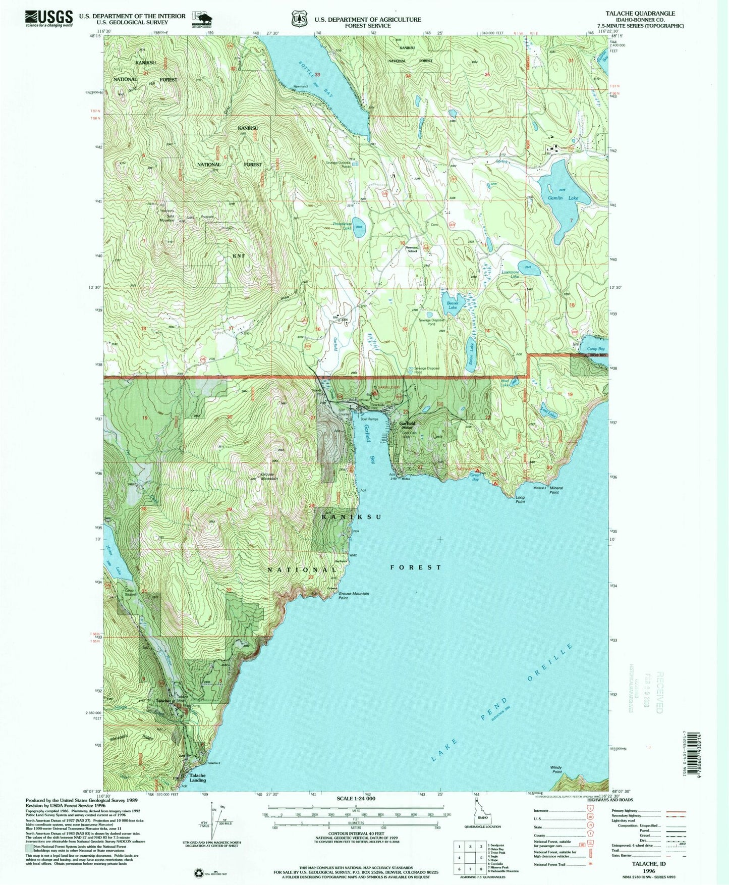
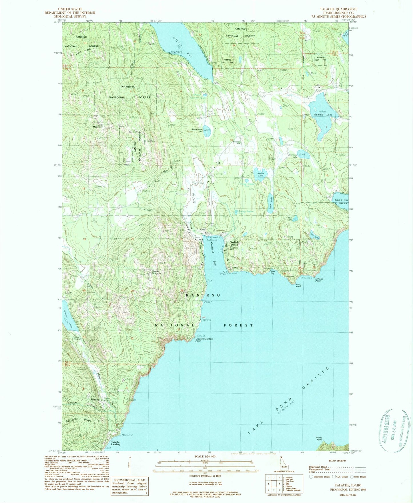
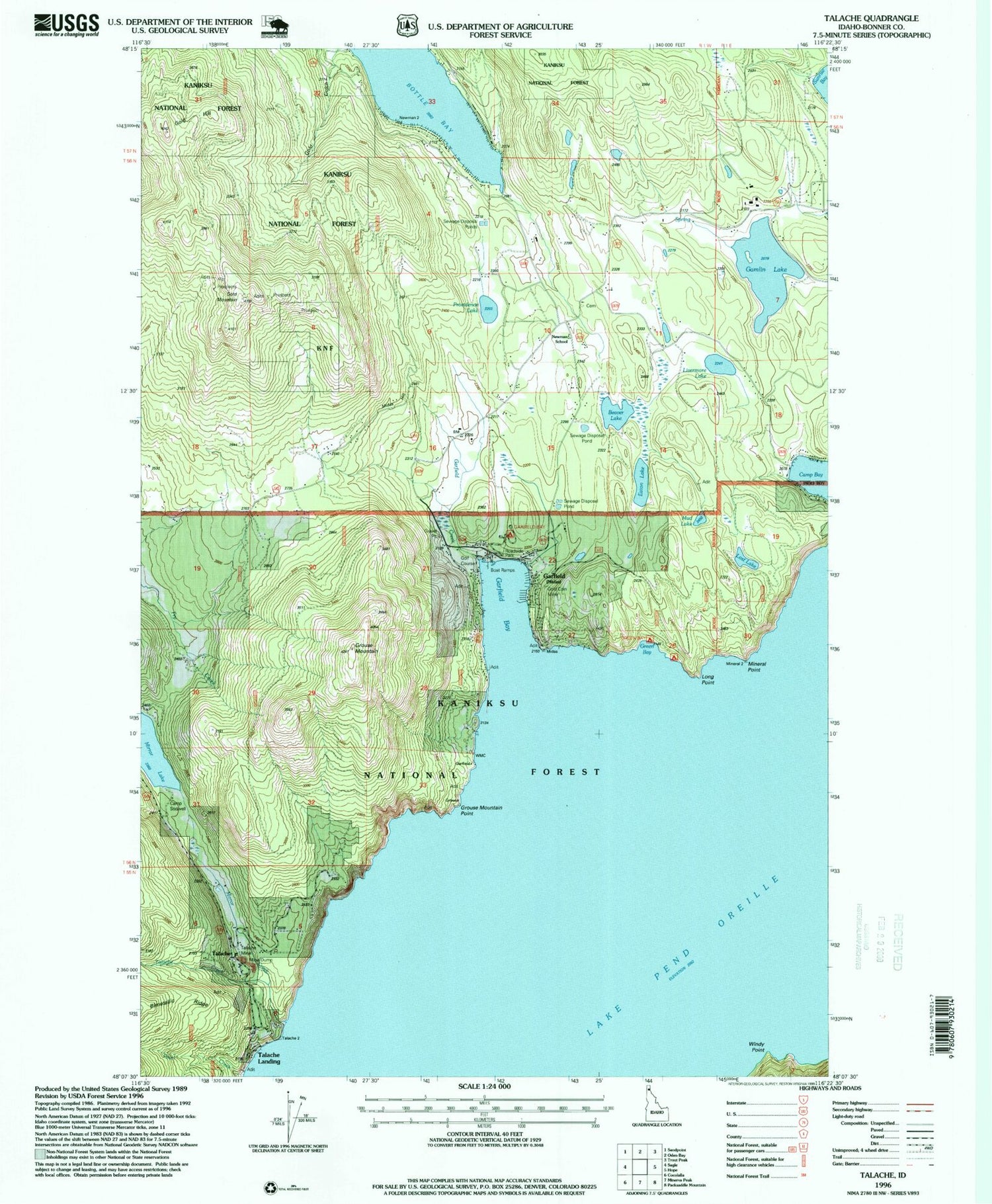
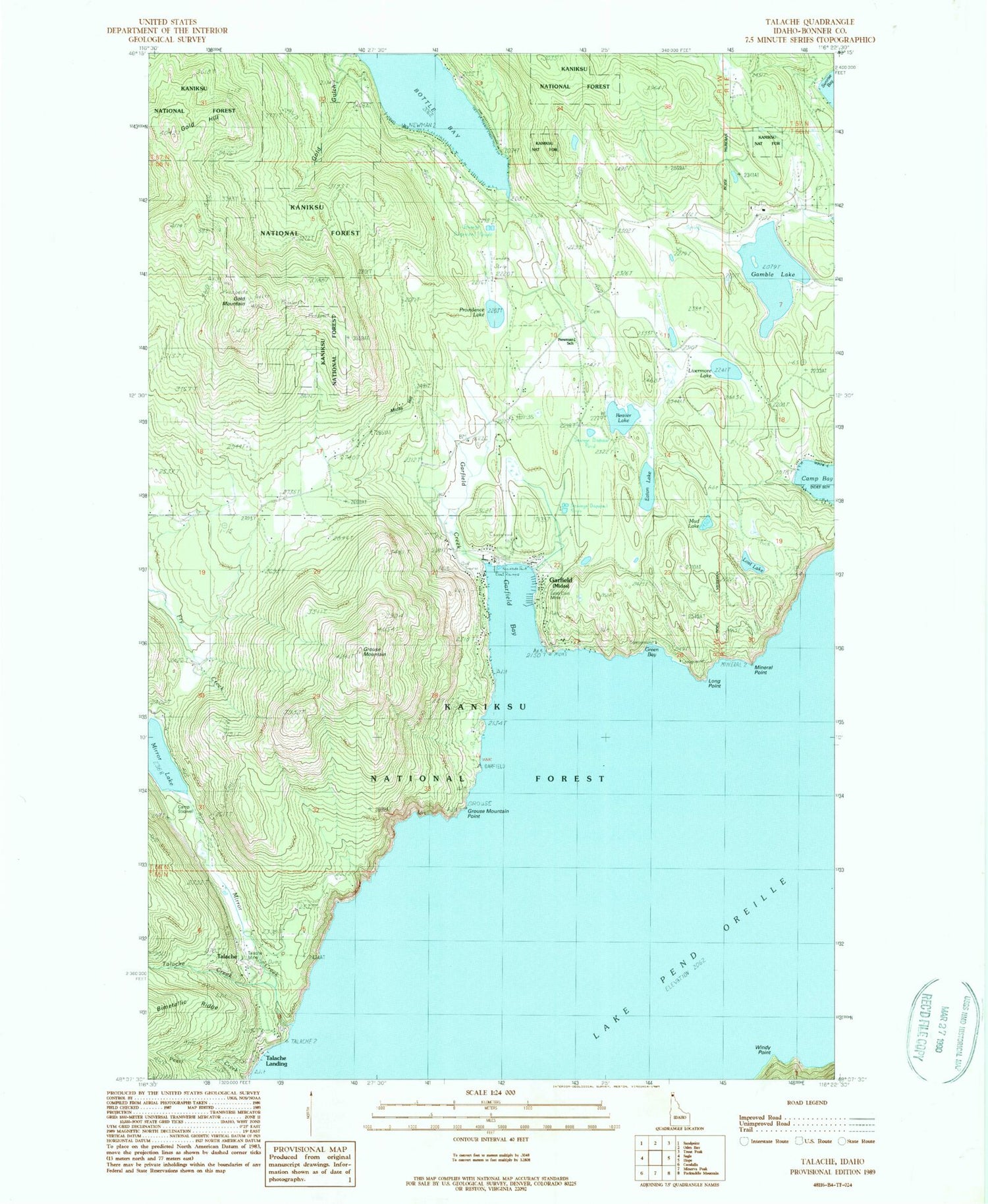
Classic USGS Talache Idaho 7.5'x7.5' Topo Map
Couldn't load pickup availability
Historical USGS topographic quad map of Talache in the state of Idaho. Map scale may vary for some years, but is generally around 1:24,000. Print size is approximately 24" x 27"
This quadrangle is in the following counties: Bonner.
The map contains contour lines, roads, rivers, towns, and lakes. Printed on high-quality waterproof paper with UV fade-resistant inks, and shipped rolled.
Contains the following named places: Anderson Point, Beaver Lake, Bird Number 2 Airport, Bottle Bay, Broten, Broten Post Office, Camp Stidwell, Eaton Lake, Gamlin Lake, Garfield, Garfield Bay, Garfield Bay Access Area, Garfield Bay Recreation Site, Garfield Creek, Gold Coin Mine, Gold Hill, Gold Mountain, Green Bay, Green Bay Recreation Site, Grouse Mountain, Grouse Mountain Point, Lake Pend Oreille, Livermore Lake, Long Point, Lost Lake, Midas, Mineral Point, Mirror Creek, Mirror Lake, Mud Lake, Newman, Newman School, Pearl Creek, Portland Group Mine, Providence Lake, Selkirk Fire Bottle Bay Station, Talache, Talache Creek, Talache Landing, Talache Mine, Timber Basin Airpark Inc, Windy Point


