MyTopo
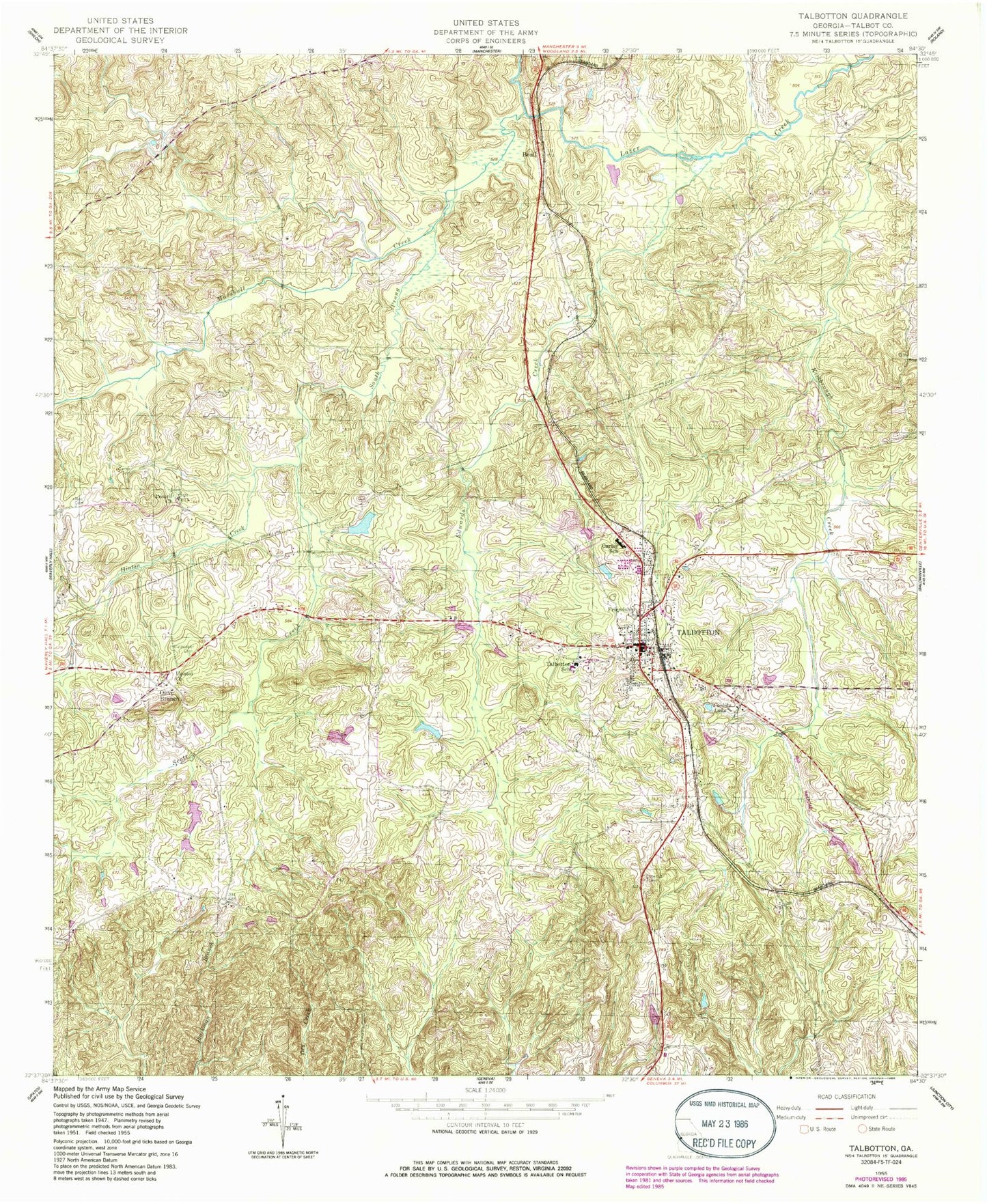
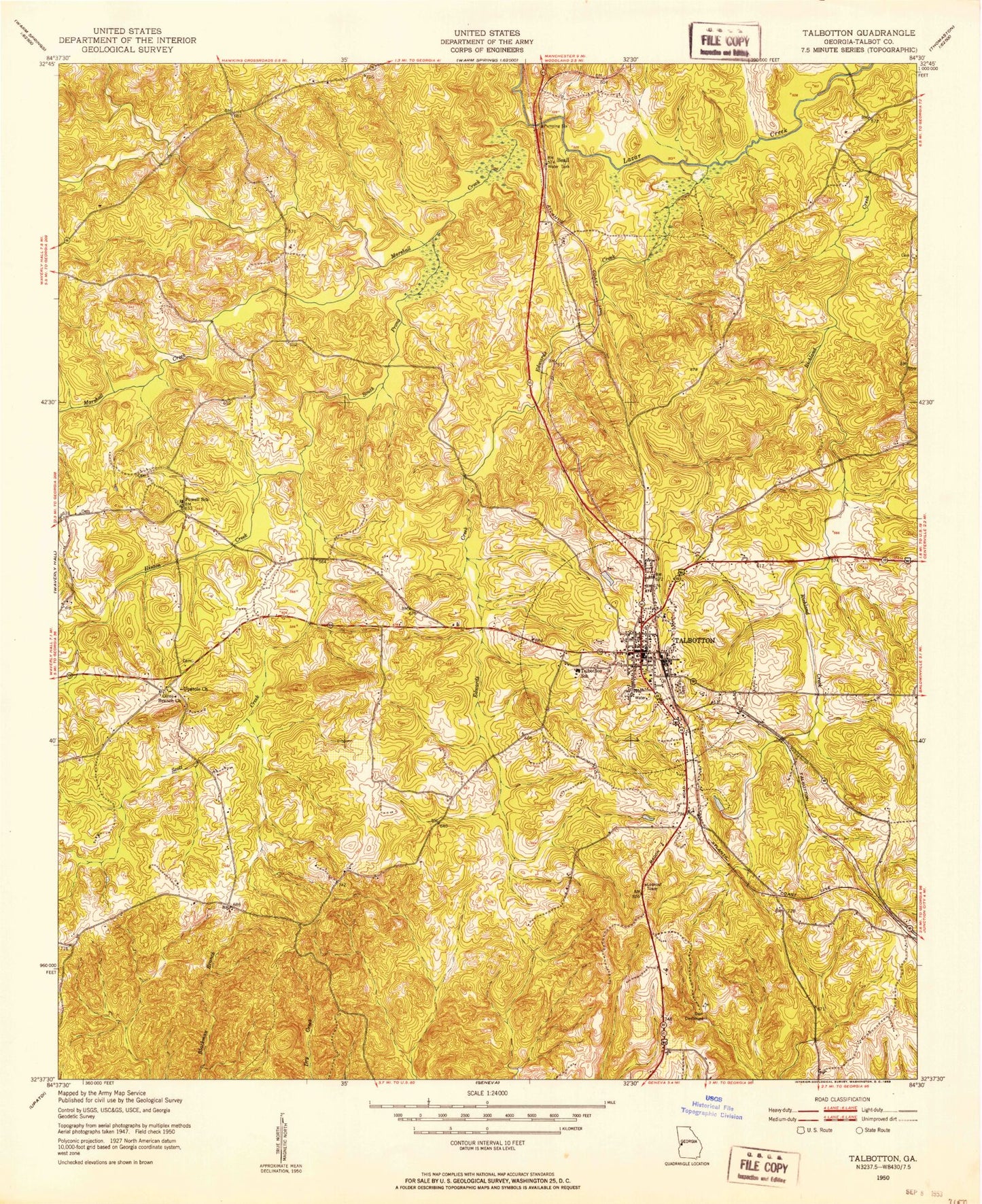
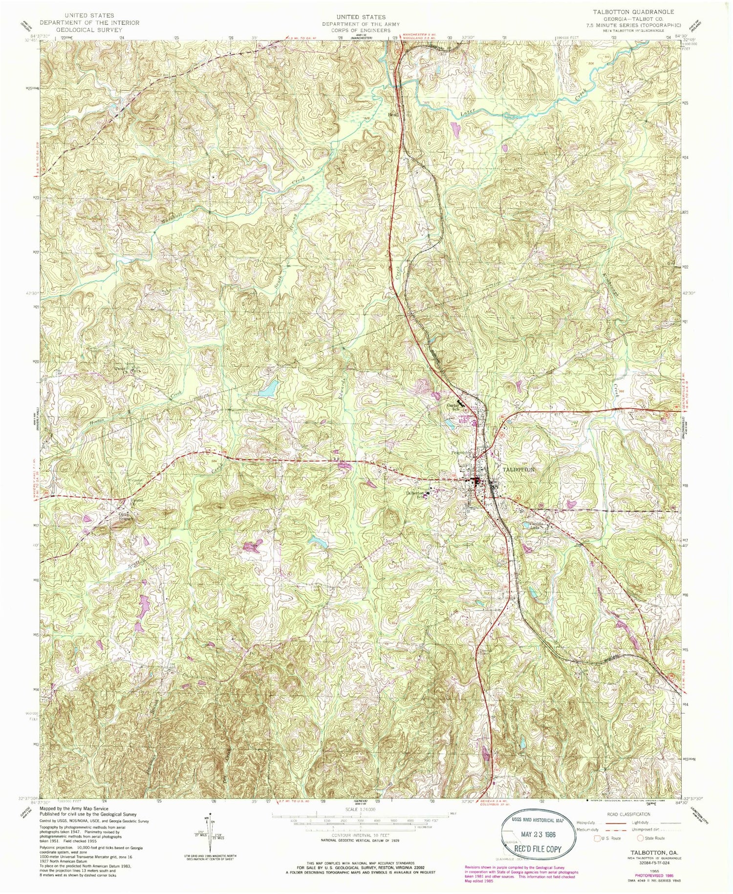
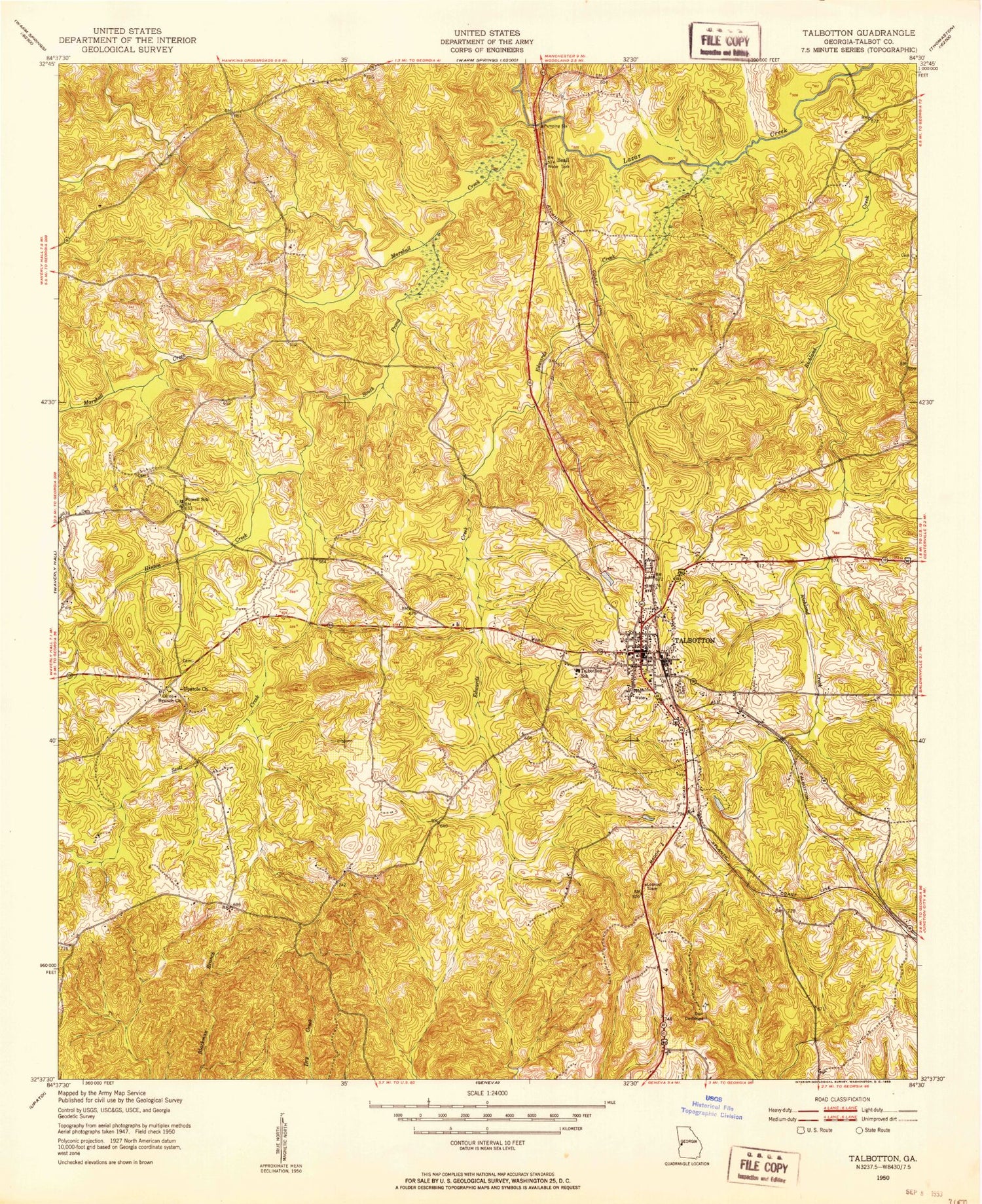
Classic USGS Talbotton Georgia 7.5'x7.5' Topo Map
Couldn't load pickup availability
Historical USGS topographic quad map of Talbotton in the state of Georgia. Typical map scale is 1:24,000, but may vary for certain years, if available. Print size: 24" x 27"
This quadrangle is in the following counties: Talbot.
The map contains contour lines, roads, rivers, towns, and lakes. Printed on high-quality waterproof paper with UV fade-resistant inks, and shipped rolled.
Contains the following named places: Marshall Creek, Carter Cemetery, Cooliks Lake, Culpepper Cemetery, Edwards Creek, Friendship Church, Hawkins Creek, Hinton Creek, Neel Cemetery, Powell Church, Scott Creek, South Prong Marshall Creek, Talbotton School, Upatoi Church, Beall, Talbot County, Olive Branch, Talbotton, Kimbrilugh Dam, Jordan Lake, Lee Lake Dam, Lee Lake, Jorden Dam, Jorden Lake, Pearsons Lake Dam, Pearsons Lake, County Park Lake Dam, County Park Lake, Le Vert College (historical), Le Vert Historic District, Methodist Memorial Park, Oak Hill Cemetery, Olive Branch Methodist Church, Rocky Heights Plantation (historical), Sardis Church (historical), Steed Cemetery, Steed Plantation (historical), Talbot County Courthouse, Talbot County High School (historical), Talbotton Baptist Church, Talbotton United Methodist Church, Washington Academy (historical), Zion Episcopal Church, Carter School, City of Talbotton, Talbot County Fire Department Oneal Station, Talbot County Emergency Medical Services, Talbotton Police Department, Talbot County Sheriff's Office, Talbot County Jail, Talbotton Post Office


