MyTopo
Classic USGS Talihina Oklahoma 7.5'x7.5' Topo Map
Couldn't load pickup availability
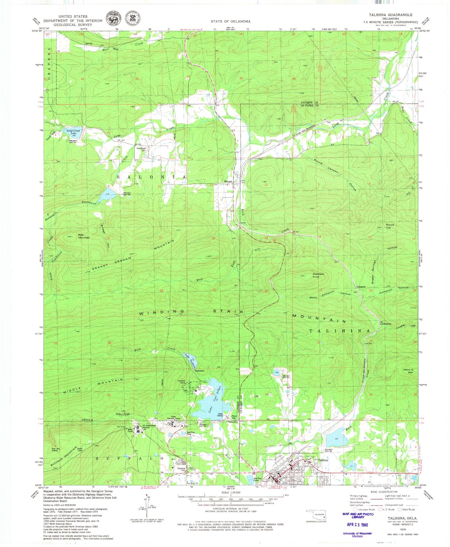
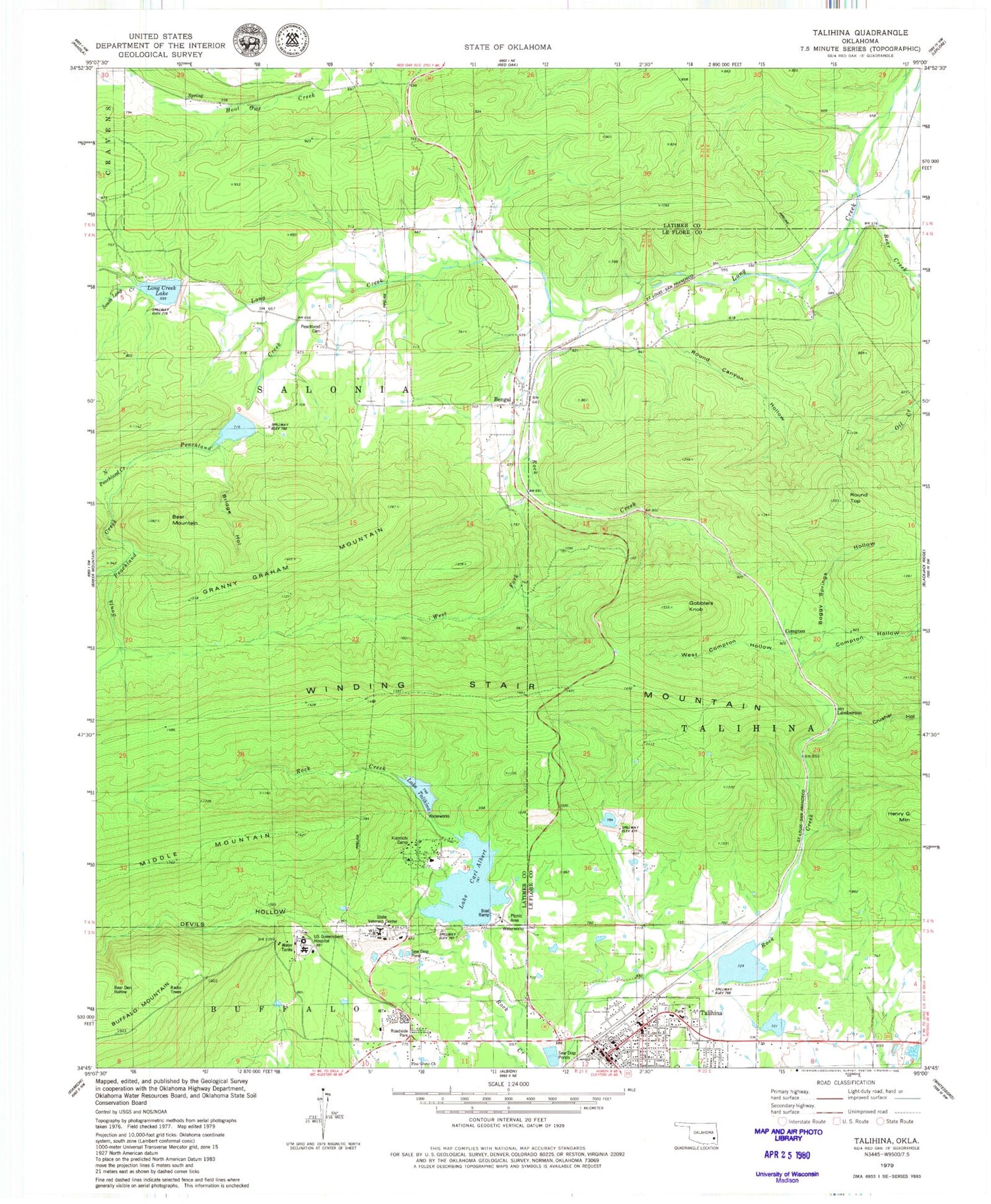
Historical USGS topographic quad map of Talihina in the state of Oklahoma. Typical map scale is 1:24,000, but may vary for certain years, if available. Print size: 24" x 27"
This quadrangle is in the following counties: Latimer, Le Flore.
The map contains contour lines, roads, rivers, towns, and lakes. Printed on high-quality waterproof paper with UV fade-resistant inks, and shipped rolled.
Contains the following named places: Rock Creek, Baker Hollow, Bear Den Hollow, Bear Mountain, Bengal, Boggy Springs Hollow, Bridge Hollow, Lake Carl Albert, Devils Hollow, Gobblers Knob, Granny Graham Mountain, Kiamichi Camp, Long Creek Lake, North Peachland Creek, Peachland Cemetery, Peachland Creek, Pine Grove Church, Rock Creek, Rock Creek, Round Canyon Hollow, Round Top, South Long Creek, South Peachland Creek, Talihina, Lake Talihina, Waterworks Picnic Area, West Compton Hollow, West Fork Rock Creek, Compton, Lamberson, Bear Creek, Compton Hollow, Crusher Hollow, Henry G Mountain, Choctaw Indian Hospital Heliport, Rock Creek Site 2 Dam, Rock Creek Site 2 Reservoir, Rock Creek Site 3 Dam, Rock Creek Site 3 Reservoir, Fourche Maline Creek Site 13 Dam, Fourche Maline Creek Site 13 Reservoir, Fourche Maline Creek Site 14 Dam, Fourche Maline Creek Site 14 Reservoir, Talihina Lake Dam, Dresser Lake Dam, Dresser Lake, Rock Creek Site 4 Dam, Rock Creek Site 4 Reservoir, Oknoname 077009 Dam, Oknoname 077009 Reservoir, State Veterans Center, Kiamichi Technology Center, Talihina High School, Talihina Junior High School, Talihina Elementary School, Talihina Post Office, Township of Salonia, Town of Talihina, Talihina Fire Department, Oklahoma Forestry Services Talihina Field Office, Choctaw Nation Medical Center, Emergency Medical Services of Le Flore County Station 2 Talihina, Talihina Police Dept


