MyTopo
Classic USGS Talkeetna C-1 SE Alaska 7.5'x7.5' Topo Map
Regular price
$16.95
Regular price
Sale price
$16.95
Unit price
per
Couldn't load pickup availability
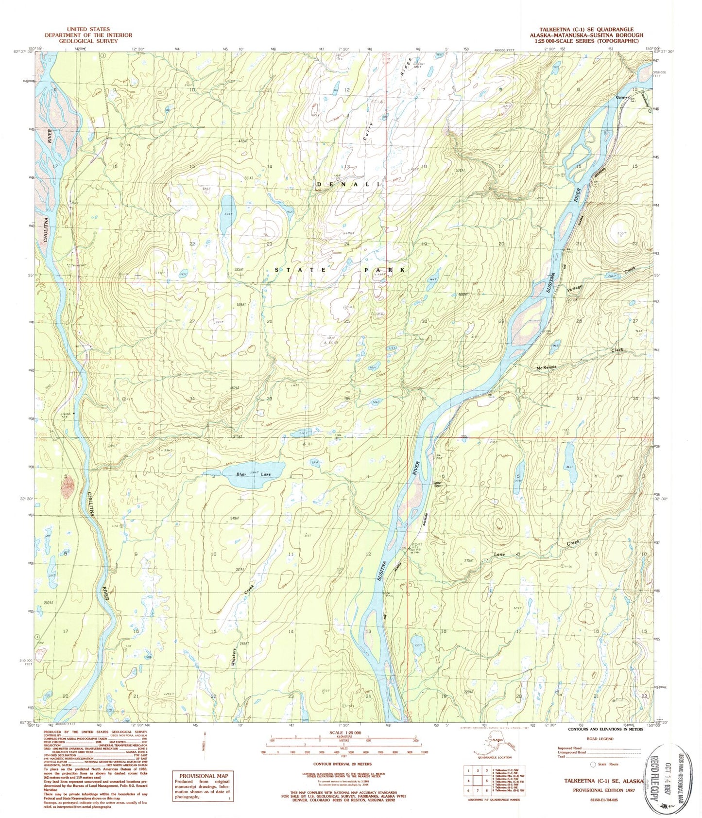
Historical USGS topographic quad map of Talkeetna C-1 SE in the state of Alaska. Map scale may vary for some years, but is generally around 1:24,000. Print size is approximately 24" x 27"
This quadrangle is in the following counties: Matanuska-Susitna.
The map contains contour lines, roads, rivers, towns, and lakes. Printed on high-quality waterproof paper with UV fade-resistant inks, and shipped rolled.
Contains the following named places: Blair Lake, Curry, Curry Lookout, Deadhorse Creek, Era Chulitna River Heliport, Lane, Lane Creek, McKenzie Creek, McKinley Country Airport, Portage Creek, Songlo Vista Airport