MyTopo
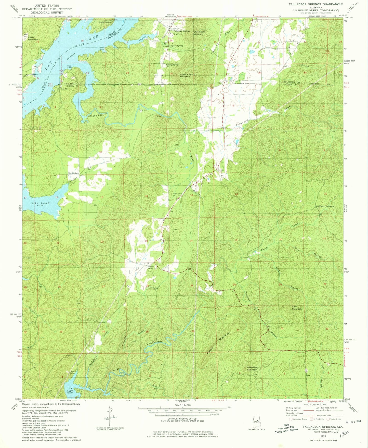
Classic USGS Talladega Springs Alabama 7.5'x7.5' Topo Map
Couldn't load pickup availability
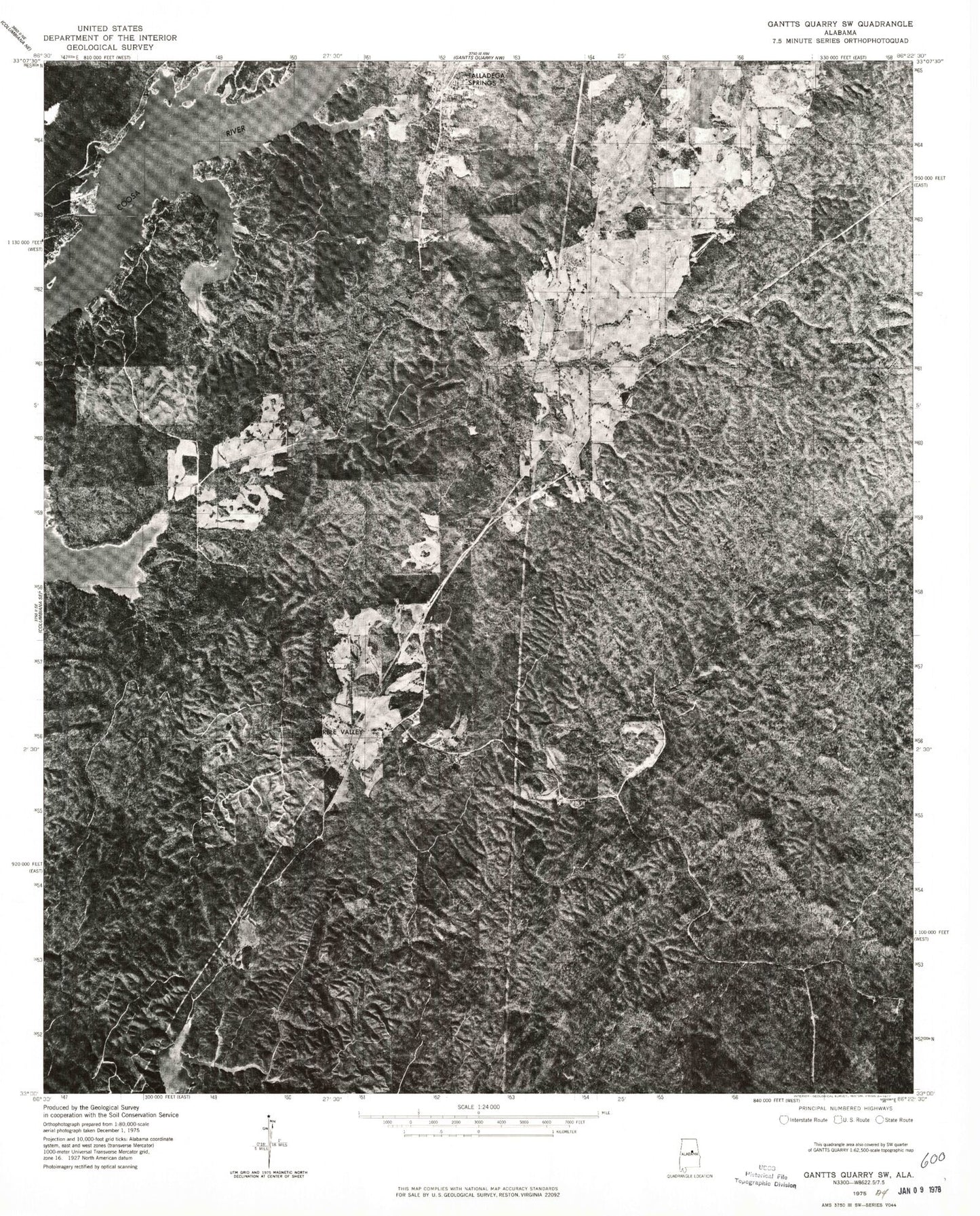
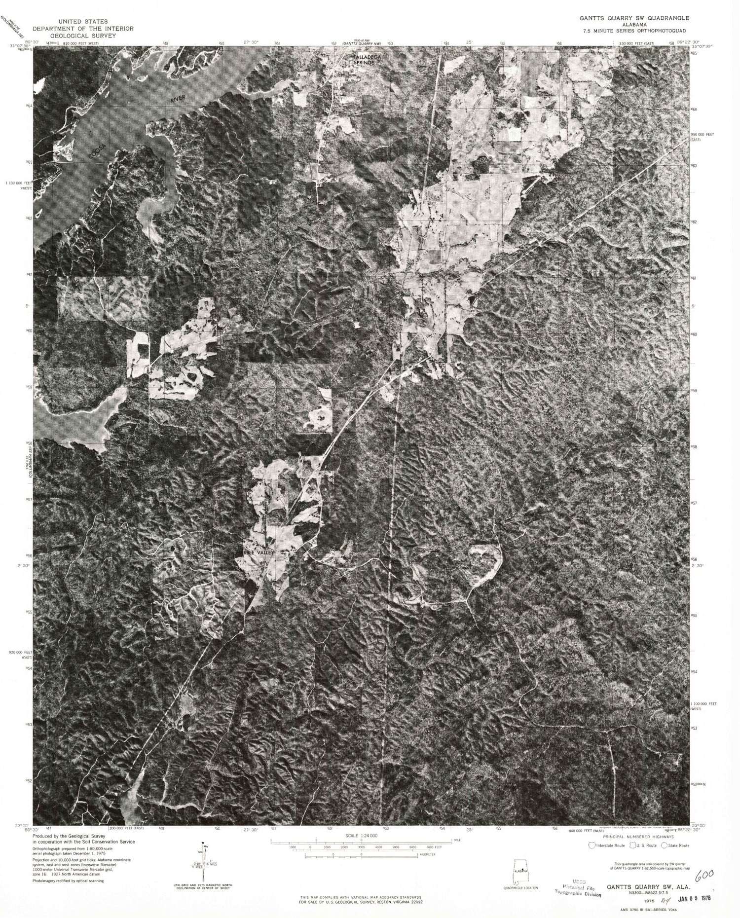
Historical USGS topographic quad map of Talladega Springs in the state of Alabama. Typical map scale is 1:24,000, but may vary for certain years, if available. Print size: 24" x 27"
This quadrangle is in the following counties: Coosa, Shelby, Talladega.
The map contains contour lines, roads, rivers, towns, and lakes. Printed on high-quality waterproof paper with UV fade-resistant inks, and shipped rolled.
Contains the following named places: Chalybeate Creek, Chalybeate Mountain, Crumply Creek, Deadening Mountain, Ezekiel Branch, Kelley Mountain, Mill Creek, Pinefiold Branch, Reedy Mountain, Rock Branch, Slaughter Creek, Sulphur Branch, Talladega Springs Cemetery, Webb Branch, York Mountain, Blue Springs Cemetery, Blue Springs Church, Blue Springs School (historical), Eureka Quarry, Chancellors Ferry (historical), Peckerwood Shoals (historical), Sulphur Mountain Gap, Talladega Sulphur Springs, Watha (historical), Okomo Camp, Peckerwood Creek, Sulphur Spring Mountain, Talladega Springs, Union Springs Baptist Church, Blue Springs, Marble Valley, Strickland Crossroads, Sulphur Spring, McGees Ferry (historical), Looneys Mill (historical), Marble Valley Memorial Cemetery, Ida (historical), Idella Post Office (historical), Okomo Marina, Town of Talladega Springs, Marble Valley Volunteer Fire Department