MyTopo
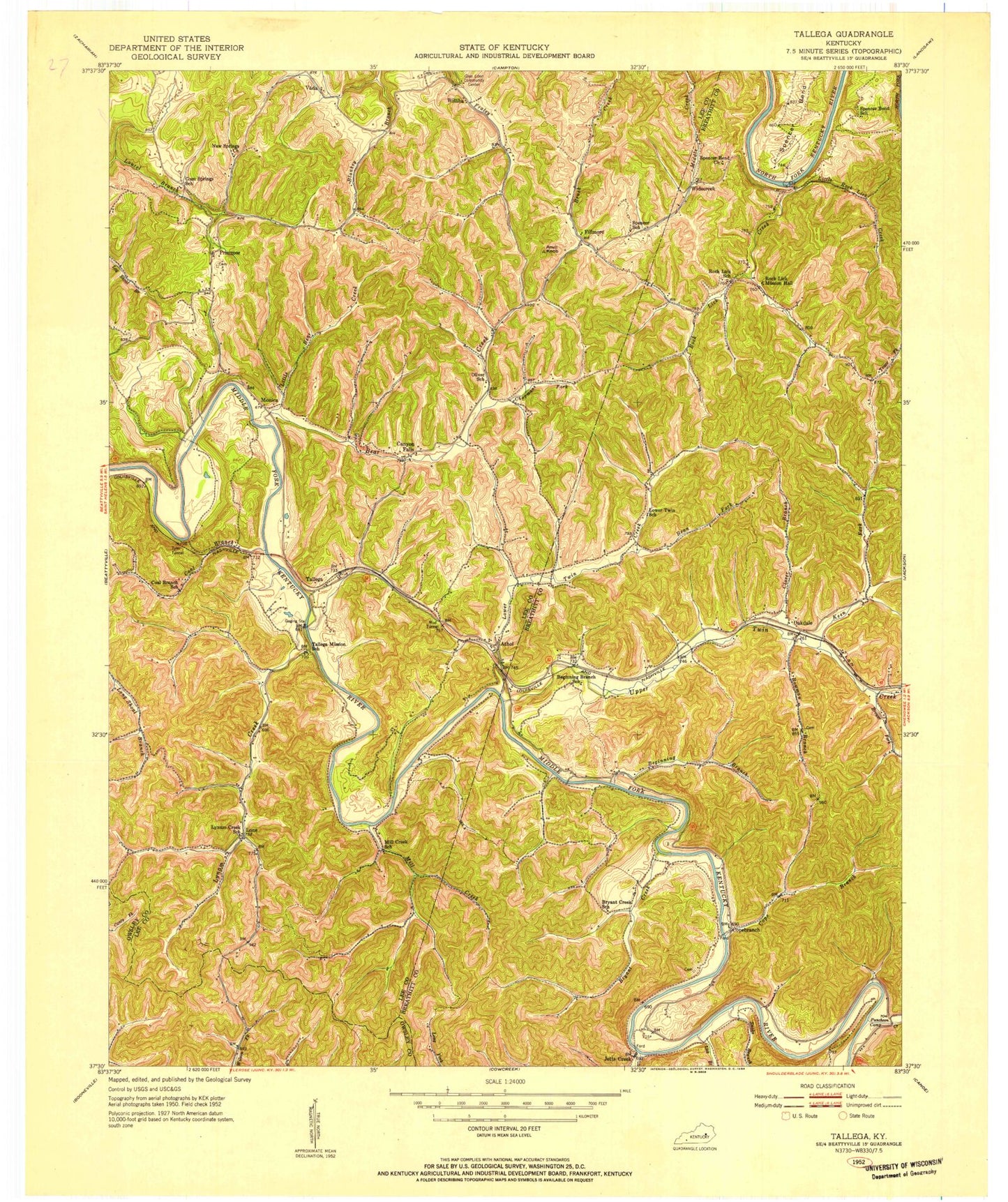
Classic USGS Tallega Kentucky 7.5'x7.5' Topo Map
Couldn't load pickup availability
Historical USGS topographic quad map of Tallega in the state of Kentucky. Map scale may vary for some years, but is generally around 1:24,000. Print size is approximately 24" x 27"
This quadrangle is in the following counties: Breathitt, Lee, Owsley.
The map contains contour lines, roads, rivers, towns, and lakes. Printed on high-quality waterproof paper with UV fade-resistant inks, and shipped rolled.
Contains the following named places: Anvil Knob, Athol, Bean Fork, Bear Creek, Beginning Branch, Bowman Branch, Brewer Fork, Bryant Creek, Canyon Falls, Chapmans Fork, Clover Branch, Coal Branch, Coal Branch School, Cope Branch, Copebranch, Fillmore, Glen Eden Community Center, Gum Springs Bible Church, Horseshoe Bend, Jetts Creek, Keen Fork, Lick Branch, Lick Creek, Little Bear Creek, Little Rock Lick Creek, Lone, Lower Twin Creek, Lynam Creek, Lynam Creek School, Mill Creek, Mill Creek School, Monica, Mud Tunnel, New Springs Church, Oakdale, Primrose, Primrose Volunteer Fire Department, Puncheon Camp Creek, Rock Lick Mission Hall, Rock Lick School, Saint Helens Division, Snake Branch, Spencer Bend, Spencer Bend Church, Tallega, Tallega Mission School, Tyler Tunnel, Upper Twin Creek, Vada, Widecreek, Willba Post Office, Williba, Wolfpen Branch


