MyTopo
Classic USGS Tamarack Gulch Oregon 7.5'x7.5' Topo Map
Regular price
$16.95
Regular price
Sale price
$16.95
Unit price
per
Couldn't load pickup availability
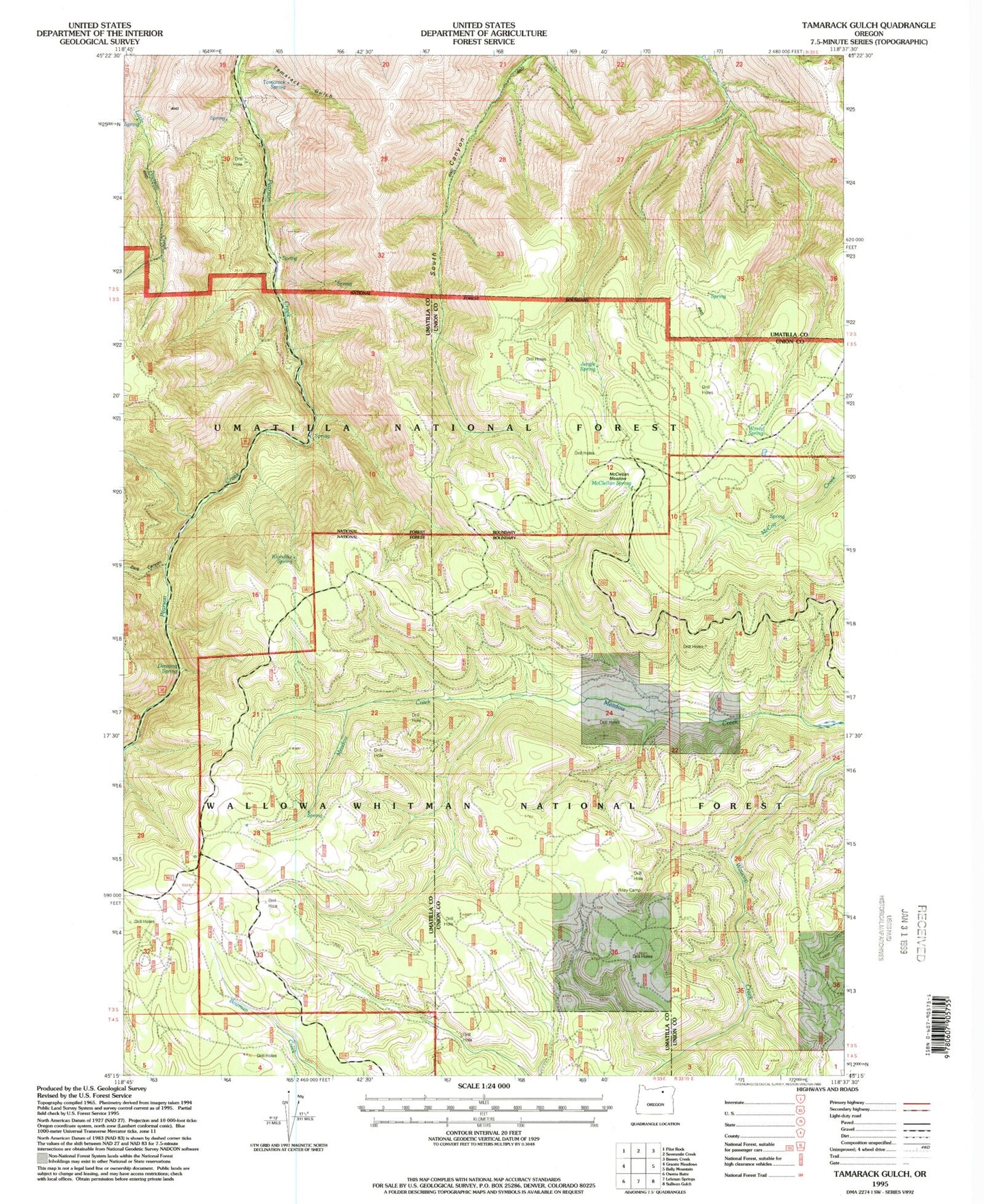
Historical USGS topographic quad map of Tamarack Gulch in the state of Oregon. Map scale may vary for some years, but is generally around 1:24,000. Print size is approximately 24" x 27"
This quadrangle is in the following counties: Umatilla, Union.
The map contains contour lines, roads, rivers, towns, and lakes. Printed on high-quality waterproof paper with UV fade-resistant inks, and shipped rolled.
Contains the following named places: Dark Canyon, Denning Spring, Jungle Spring, Klondike Spring, McClellan Meadow, McClellan Spring, Pilot Rock Division, Riley Camp, Tamarack Gulch, Tamarack Spring, Windy Spring