MyTopo
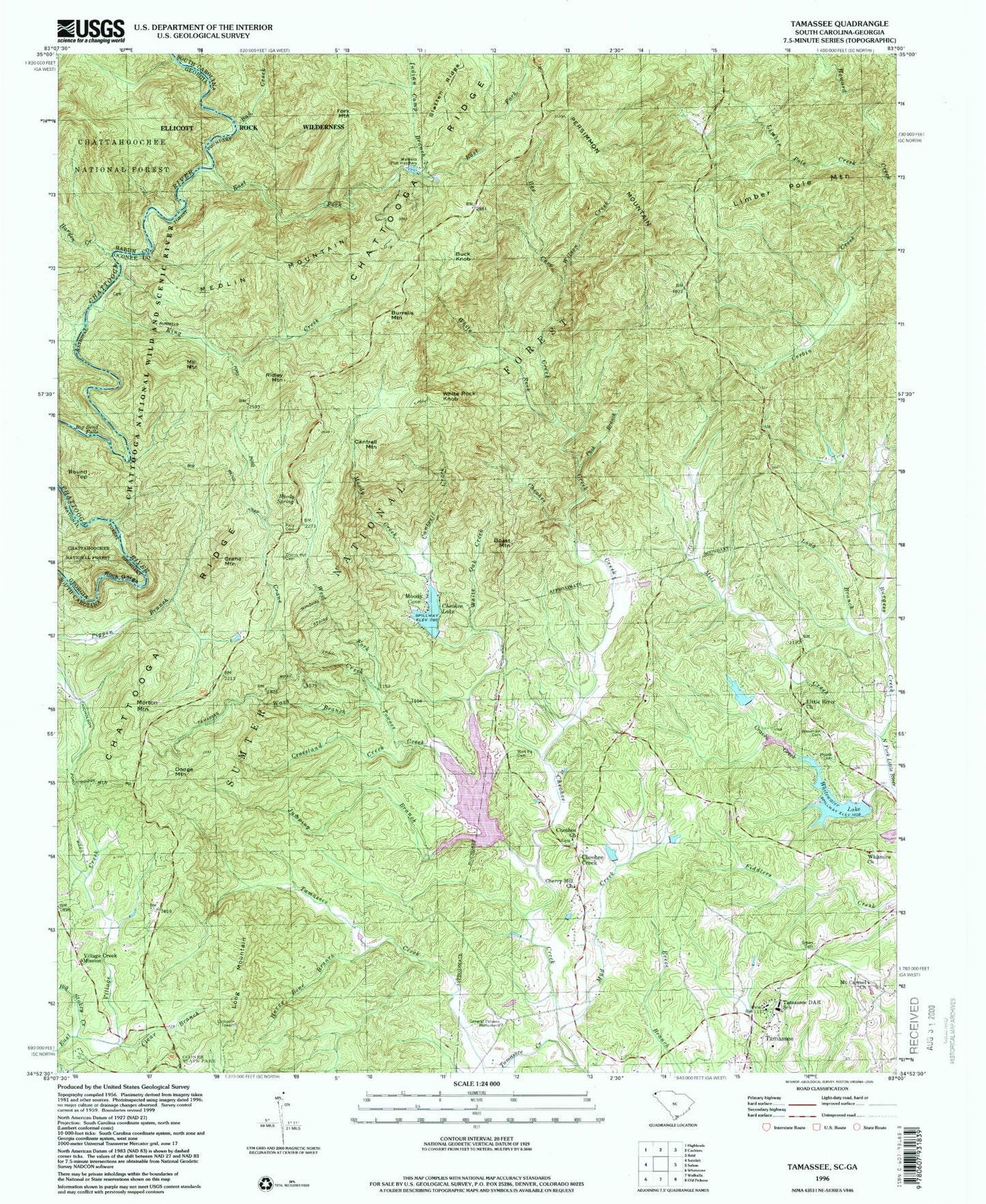
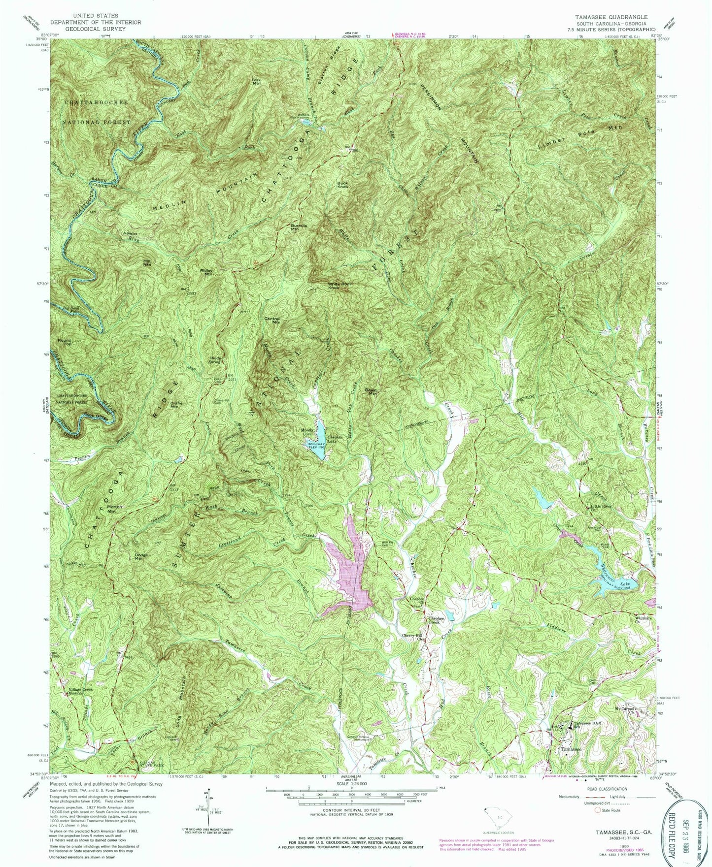
Classic USGS Tamassee South Carolina 7.5'x7.5' Topo Map
Couldn't load pickup availability
Historical USGS topographic quad map of Tamassee in the states of South Carolina, Georgia. Typical map scale is 1:24,000, but may vary for certain years, if available. Print size: 24" x 27"
This quadrangle is in the following counties: Oconee, Rabun.
The map contains contour lines, roads, rivers, towns, and lakes. Printed on high-quality waterproof paper with UV fade-resistant inks, and shipped rolled.
Contains the following named places: Rock Gorge, Ellicott Rock Wilderness, Bad Creek, Alexander Cemetery, Big Stakey Creek, Boast Mountain, Burrells Mountain, Cantrell Creek, Cantrell Mountain, Cherry Hill Cemetery, Clear Branch, Crossland Creek, East Fork Chattooga River, Fork Mountain, Green Cemetery, Horse Bone Branch, Indian Camp Branch, Jumping Branch, Keith Quarter, Knox Creek, Limber Pole Creek, Limber Pole Mountain, Long Branch, Moody Cemetery, Moody Creek, Moody Spring, Mount Carmel Church, Mud Creek, Pack Branch, Pells Cemetery, Persimmon Mountain, Ridley Mountain, Round Top, Slatten Ridge, Townes Creek, Wash Branch, West Fork Crane Creek, White Oak Creek, White Rock Creek, Wilson Creek, Winchester Cemetery, Winding Stairs Trail, Wolf Pit Cemetery, Burrells Ford Campground, Bee Creek, Lake Cheohee, King Creek, Burgess Creek, Chattooga Picnic Area, Burrel Place Campground, Piedmont State Nursery, Moody Spring Campground, Spoonauger Falls, Long Mountain Lookout Tower, Rose Bud Picnic Area, Buck Knob, Cheohee, Crane Mountain, Dodge Mountain, Long Mountain, Medlin Mountain, Mill Mountain, Moody Cove, Morton Mountain, White Rock Knob, Lake Cheohee Dam D-1632, Sumter National Forest Lake, Townes Creek Dam D-1634, Lake Cherokee, Whitewater Lake Dam D-1636, South Carolina Noname 37024 D-1635 Dam, Rochester Lake Number Two, South Carolina Noname 37026 D-1631 Dam, Lake Front Homes Pond, Rochester Craven Dam D-1633, Rochester Lake Number One, General Pickens Monument, Walhalla Fish Hatchery, Bear Pen School (historical), Cherry Hill School (historical), Little River School (historical), Long Mountain Lookout Tower, Tamassee Daughters of the American Revolution Church, Whitewater Church (historical), Cheohee Cemetery, Whitmire Methodist Church Graveyard, Little River Baptist Church, Mill Creek, Cheohee Baptist Church, Cheohee Creek, Cherry Hill Church, Crane Creek, Craven Creek, Tamassee, Tamassee Creek, Tamassee DAR School, Village Creek Mission, Whitewater Lake, Whitmire Church, Cherry Hill Recreation Site, White Rock Scenic Area, Kings Creek Falls, Lee Falls Special Area, Bee Cove Creek Prospect, John O'Leary Prospect, Hidden Falls, Chattooga Township, Mountain Rest Division, Cheohee Baptist Church Graveyard, Tamassee Census Designated Place, Big Bend Falls, Harden Creek, Burrells Ford


