MyTopo
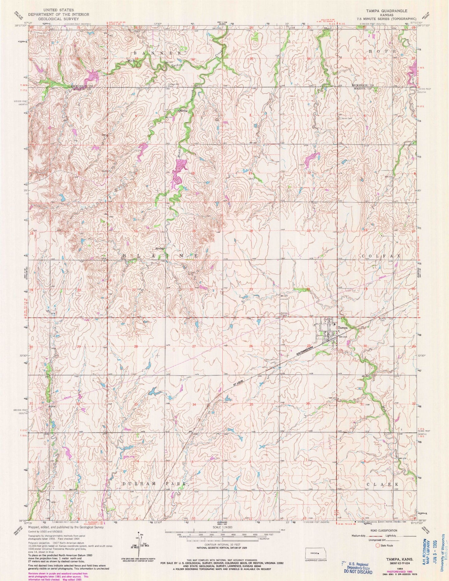
Classic USGS Tampa Kansas 7.5'x7.5' Topo Map
Couldn't load pickup availability
Historical USGS topographic quad map of Tampa in the state of Kansas. Map scale may vary for some years, but is generally around 1:24,000. Print size is approximately 24" x 27"
This quadrangle is in the following counties: Dickinson, Marion.
The map contains contour lines, roads, rivers, towns, and lakes. Printed on high-quality waterproof paper with UV fade-resistant inks, and shipped rolled.
Contains the following named places: Agricultural Producers Grain Elevator Number 1, Bartholda School, City of Tampa, College Hill Cemetery, College Hill School, Durham Park, Gardner School, Hackler Community Cemetery, Marion County Fire District 7 Tampa Fire Department, Middle Branch, Red Top School, Saint Johns Lutheran Cemetery, Saint Mary Cemetery, Tampa, Tampa Wastewater Plant, Township of Blaine, ZIP Code: 67483