MyTopo
Classic USGS Tampico Washington 7.5'x7.5' Topo Map
Regular price
$16.95
Regular price
Sale price
$16.95
Unit price
per
Couldn't load pickup availability
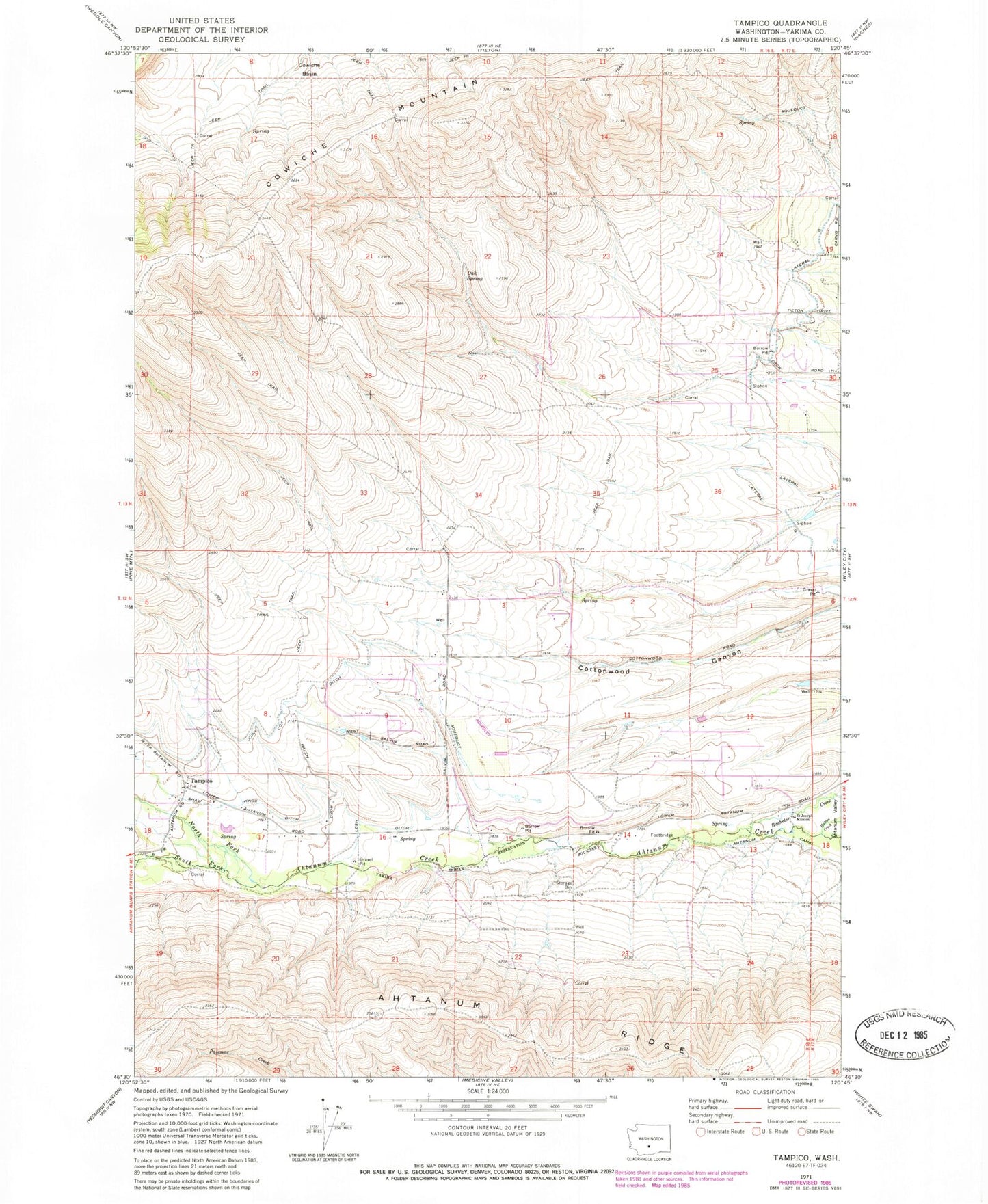
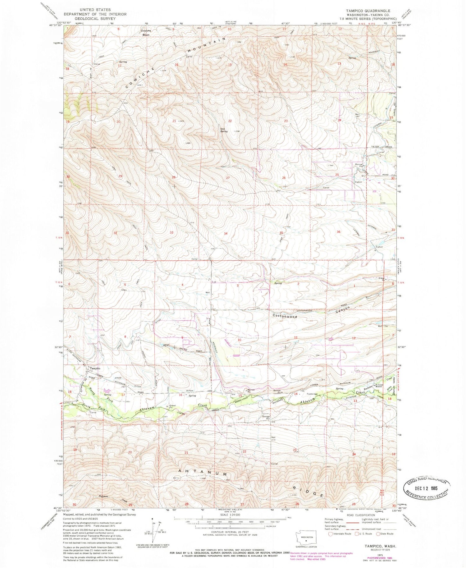
Historical USGS topographic quad map of Tampico in the state of Washington. Map scale may vary for some years, but is generally around 1:24,000. Print size is approximately 24" x 27"
This quadrangle is in the following counties: Yakima.
The map contains contour lines, roads, rivers, towns, and lakes. Printed on high-quality waterproof paper with UV fade-resistant inks, and shipped rolled.
Contains the following named places: Ahtanum Ridge, Cowiche Mountain, John Cox Ditch, Lesh Ditch, North Fork Ahtanum Creek, Oak Spring, Saint Joseph Mission, Shaw Knox Ditch, South Fork Ahtanum Creek, Stevenson Dam, Tampico, Tampico Census Designated Place, West Valley Airport, West Valley Fire Rescue Station 54