
MyTopo
Classic USGS Tanner Creek Narrows Utah 7.5'x7.5' Topo Map
Regular price
$16.95
Regular price
Sale price
$16.95
Unit price
per
Couldn't load pickup availability
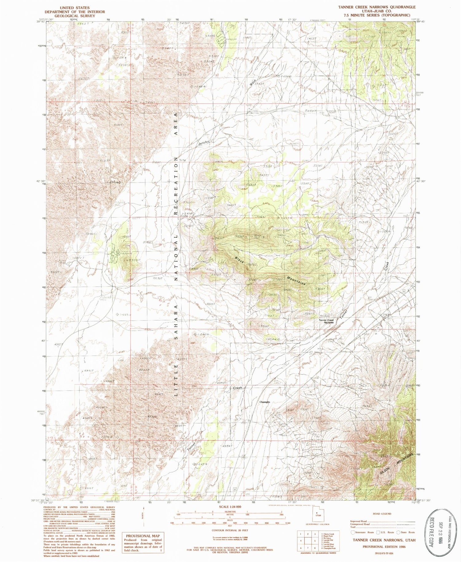
Historical USGS topographic quad map of Tanner Creek Narrows in the state of Utah. Map scale may vary for some years, but is generally around 1:24,000. Print size is approximately 24" x 27"
This quadrangle is in the following counties: Juab.
The map contains contour lines, roads, rivers, towns, and lakes. Printed on high-quality waterproof paper with UV fade-resistant inks, and shipped rolled.
Contains the following named places: Black Mountains, Champlin, Jericho Campground, Jericho Wash, Little Sahara Fire Guard Station, Little Sahara National Recreation Area, Oasis Campground, Sahara Sand Dunes Heliport, Tanner Creek Narrows, White Sands Campground


