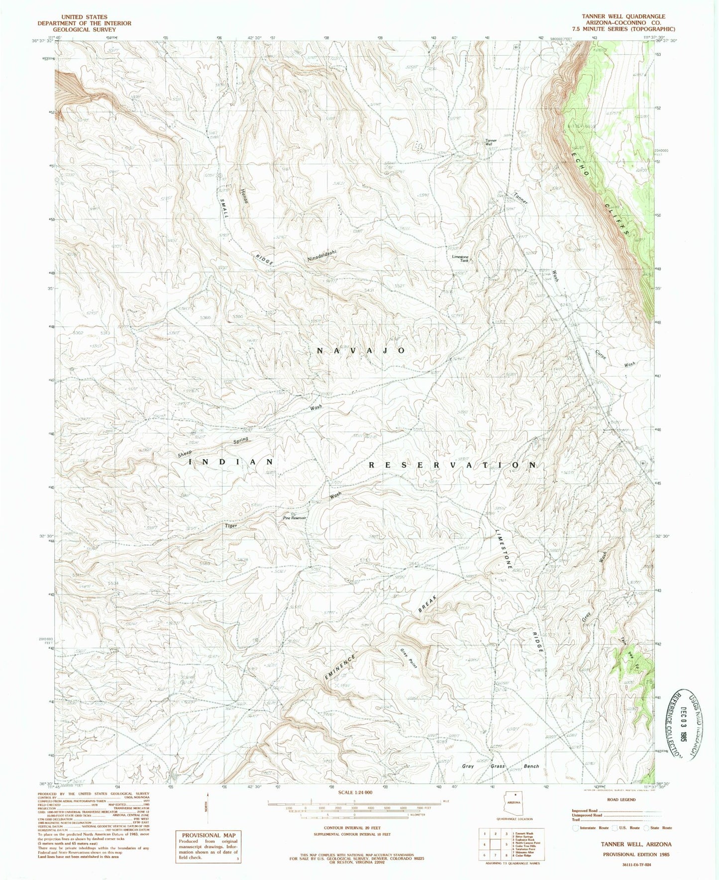
MyTopo
Classic USGS Tanner Well Arizona 7.5'x7.5' Topo Map
Regular price
$16.95
Regular price
Sale price
$16.95
Unit price
per
Couldn't load pickup availability
Historical USGS topographic quad map of Tanner Well in the state of Arizona. Map scale may vary for some years, but is generally around 1:24,000. Print size is approximately 24" x 27"
This quadrangle is in the following counties: Coconino.
The map contains contour lines, roads, rivers, towns, and lakes. Printed on high-quality waterproof paper with UV fade-resistant inks, and shipped rolled.
Contains the following named places: Bitter Springs Census Designated Place, Cinyon Otah, Curve Wash, Gray Grass Bench, Gray Point, Gray Wash, Limestone Tank, Pine Reservoir, Tanner Well