MyTopo
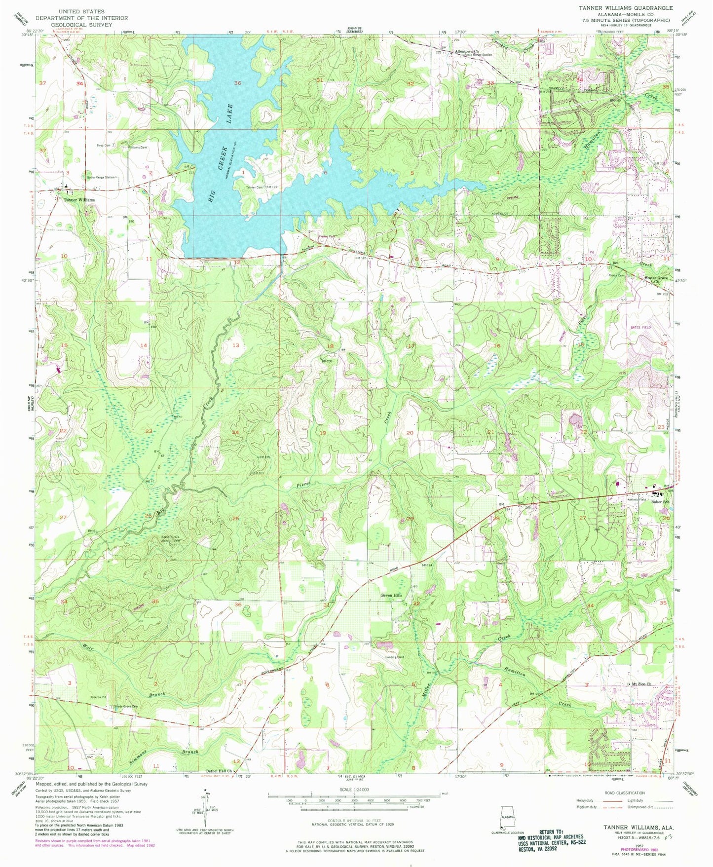
Classic USGS Tanner Williams Alabama 7.5'x7.5' Topo Map
Couldn't load pickup availability
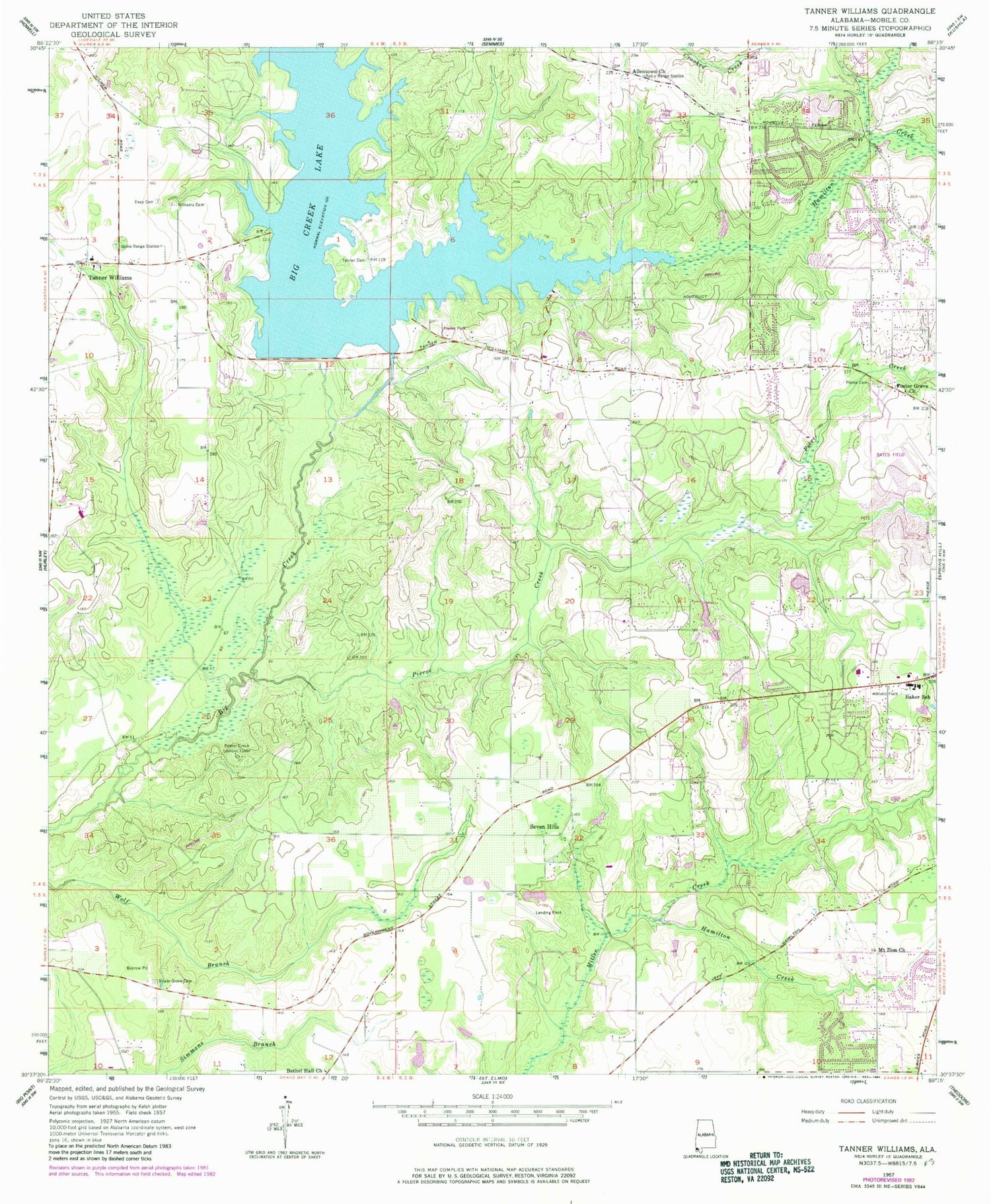
Historical USGS topographic quad map of Tanner Williams in the state of Alabama. Map scale may vary for some years, but is generally around 1:24,000. Print size is approximately 24" x 27"
This quadrangle is in the following counties: Mobile.
The map contains contour lines, roads, rivers, towns, and lakes. Printed on high-quality waterproof paper with UV fade-resistant inks, and shipped rolled.
Contains the following named places: Airport Snow Shopping Center, Airport West Commercial Park, Alderbrook, Allentown Church, Baker High School, Beaver Creek Lookout Tower, Bethel Missionary Baptist Church, Big Creek Lake, Big Creek Lake Dam, Cottage Park Estates, Countryside Mobile Home Park, Crossroads Baptist Church, Dawes Point, Dees Cemetery, Faith Church, Foster Grove Church, Gospel Lighthouse Assembly of God, Hamilton Creek, Harmony Church, Holy Name of Jesus Church, Howells Ferry Heights, Hubert Pierce Road Dirt Pit, Level Green Mobile Home Park, Living Word Church, Magnolia Baptist Church, McGowin Church, Mount Zion Cemetery, Mount Zion Church, Petaluma, Pierce Cemetery, Pierce Creek, Pine Crest Cemetery West, Pit Development Corporation Pit 2, Pleasant View Baptist Church, Ponderosa, Richardson Field, Scenic Hills, Seven Hill Church, Seven Hills, Seven Hills Mobile Home Park, Seven Hills Volunteer Fire Department Station 2, Shady Grove Cemetery, Skywest Airpark, Snow Road First Baptist Church, Solid Rock Church of God, Spring Hill Memorial Gardens, Tanner Cemetery, Tanner Williams, Tanner Williams Church, Tanner Williams Division, Tanner Williams Elementary School, Tanner Williams Volunteer Fire Department Station 2, The Church of Jesus Christ of Latter Day Saints, Trinity Church, W E Schmidt Dam, Western Hills Trailer Park, Westwood Church, Williams Cemetery, ZIP Codes: 36608, 36695


