MyTopo
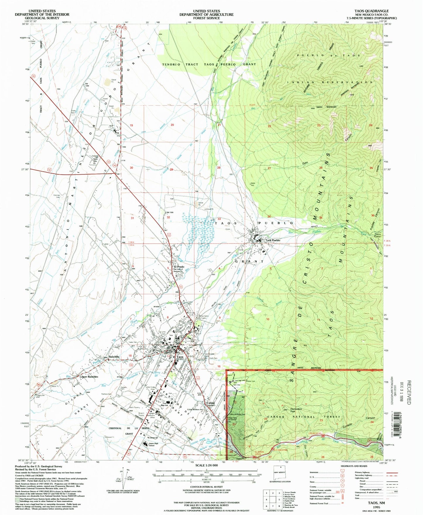
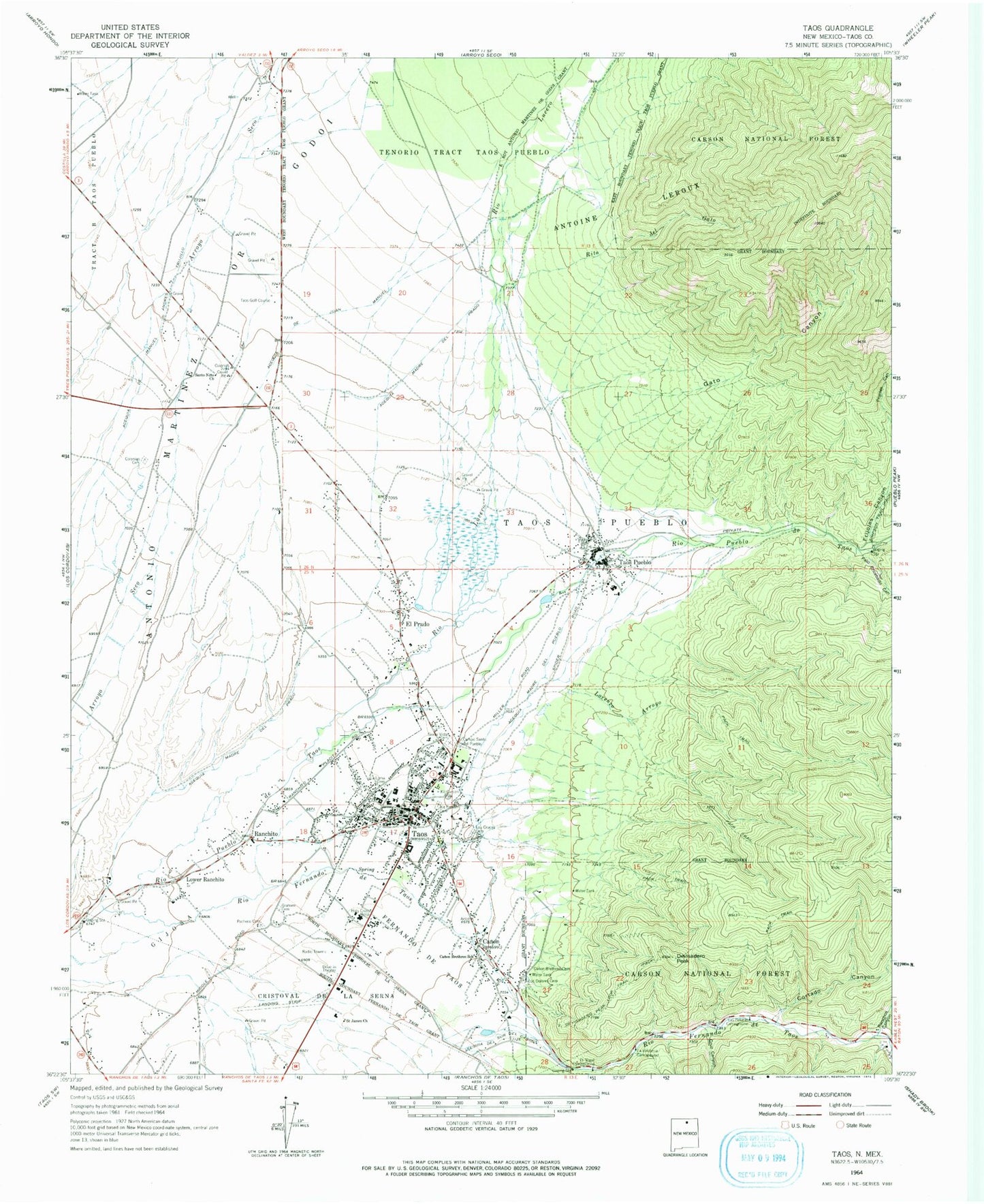
Classic USGS Taos New Mexico 7.5'x7.5' Topo Map
Couldn't load pickup availability
Historical USGS topographic quad map of Taos in the state of New Mexico. Typical map scale is 1:24,000, but may vary for certain years, if available. Print size: 24" x 27"
This quadrangle is in the following counties: Taos.
The map contains contour lines, roads, rivers, towns, and lakes. Printed on high-quality waterproof paper with UV fade-resistant inks, and shipped rolled.
Contains the following named places: Taos Campus, El Prado, Acequia de Juan Manuel, Acequia de Manuel Andres Trujillo, Acequia del Sur del Canon, Acequia Madre del Prado, Acequia Madre del Pueblo, Antonio Martinez or Godoi Grant, Campo Santo del Pueblo Cemetery, Canon, Canon Brethren Cemetery, Canon Brethren School, Colonias Cemetery, Cortado Canyon, Cruz Canyon, Devisadero Peak, Devisadero Peak Loop Trail, El Nogal Campground, Fernando De Taos Grant, Frijoles Canyon, Gato Canyon, Graham Cemetery, Kit Carson Memorial Cemetery, La Vinateria Campground, LaLoma Cemetery, Las Petacas Campground, Lorenzo Arroyo, Los Cruces Cemetery, Los Dolores Cemetery, Lower Ranchito, Pacheco Cemetery, Palo Encebado Canyon, Ranchito, Ranchos Canyon, Rio Lucero, Rito del Gato, Saint James Church, Santo Nino Church, Sierra Vista Cemetery, Taos, Taos Pueblo Grant, Tenorio Tract Taos Pueblo, Taos Ranger Station, Acequia Madre Del Norte Del Canon, Taos Administration Site, Carson Forest Service Station, Carson Supervisors Office, Taos High School, Coal Prospect, Kingdom Hall, Taos Church of Christ, Good News Christian Fellowship Church, Christian Family Church, Calvary Chapel, Spanish Baptist Church, Taos Indian Baptist Church, First Brethren Church, First Baptist Church, Rc+d Project Pm83 Dam, Town Water Well 3, 10115 Water Well, 10049 Water Well, 10048 Water Well, 10106 Water Well, RG-20048 Water Well, Bethel Deleverance Church, 10117 Water Well, Town Water Well 2, Town Water Well 1, 10116 Water Well, School Water Well, RG-20045 Water Well, 10107 Water Well, 10050 Water Well, Rio Fernando de Taos, Taos Pueblo, Taos Golf Course, Kit Carson Memorial Foudation Historical Research Library, The Harwood Foundation, Kit Carson State Park Cemetery Historical Marker, Taos Plaza End of the Camino Real, Taos Canyon Historical Marker, Pueblo of Taos Historical Marker, Taos Historical Marker, Taos Weather Station, Governor Bent Museum, Harwood Foundation of the University of New Mexico Historic Site, Governor Bent House Historic Site, Ernest L Blumenschein House Historic Site, Leon Gaspard House Historic Site, Fechin House, Chapel of San Miguel del Valle Historic Site, Kit Carson House Historic Site, Taos Elementary School, Enos Garcia Elementary School, Talpa Elementary School, Taos Christian Academy, Trudys Discovery House School, Taos Day School, Sangre de Cristo Kindergarten School, Vista Grande Prepartory School, Taos Junior High School, Stables Art Center of the Taos Art Association, Millicent Rogers Museum, Kit Carson Historic Museum, Taos County Courthouse Historic Site, Morada de Nuestra Senora de Guadalupe Historic Site, Mabel Dodge Luhan House Historic Site, Vigil Torreon House Historic Site, Taos Inn Historic Site, La Loma Plaza Historic District, E Martin House and Studio District, Saint Vrains Mill Site, Taos Post Office, Canon Post Office (historical), El Prado Post Office, KKIT-AM (Taos), KTAO-FM (Taos), Kit Carson Memorial State Park, Cruz Alta Plaza, Taos Valley School, The Church of Latter Day Saints, Taos Pueblo, Taos Pueblo Census Designated Place, Town of Taos, El Prado Census Designated Place, Taos Fire Department Station 1, Taos Fire Department Station 2, Rio Fernando Fire Department Substation, Taos County Sheriff's Office, New Mexico State Police Station - District 7 Taos, Taos Poe Post Office


