
MyTopo
Classic USGS Tappen South North Dakota 7.5'x7.5' Topo Map
Regular price
$16.95
Regular price
Sale price
$16.95
Unit price
per
Couldn't load pickup availability
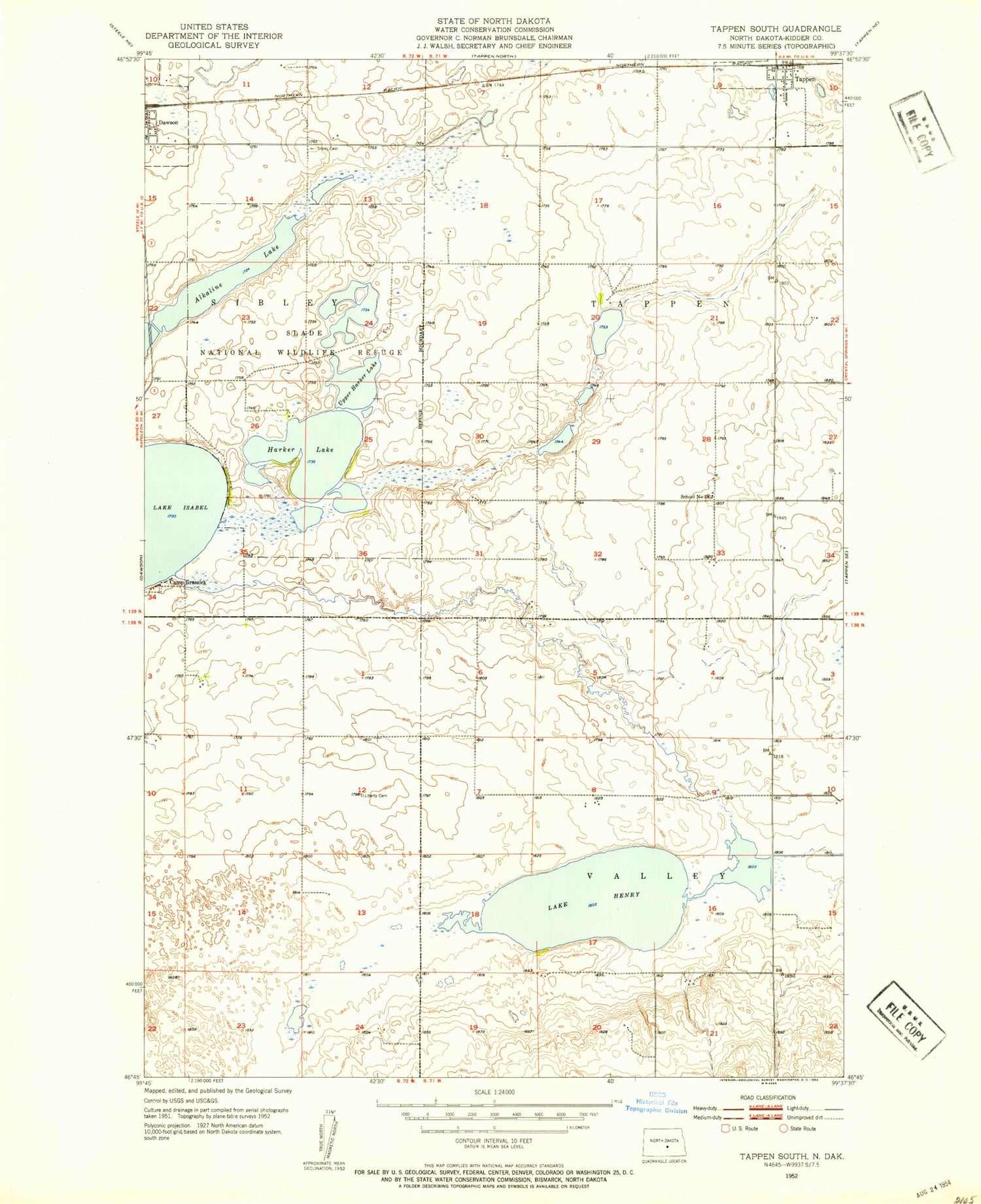
Historical USGS topographic quad map of Tappen South in the state of North Dakota. Map scale may vary for some years, but is generally around 1:24,000. Print size is approximately 24" x 27"
This quadrangle is in the following counties: Kidder.
The map contains contour lines, roads, rivers, towns, and lakes. Printed on high-quality waterproof paper with UV fade-resistant inks, and shipped rolled.
Contains the following named places: Camp Grassick, City of Tappen, Dawson Cemetery, Harker Lake, Headquarters Lake, Koestler Cemetery, Lake Henry, Lake Isabel, Rott Brothers Airstrip, School Number 28, Slade National Wildlife Refuge, Tappen, Township of Tappen, Township of Valley, Upper Harker Lake


