MyTopo
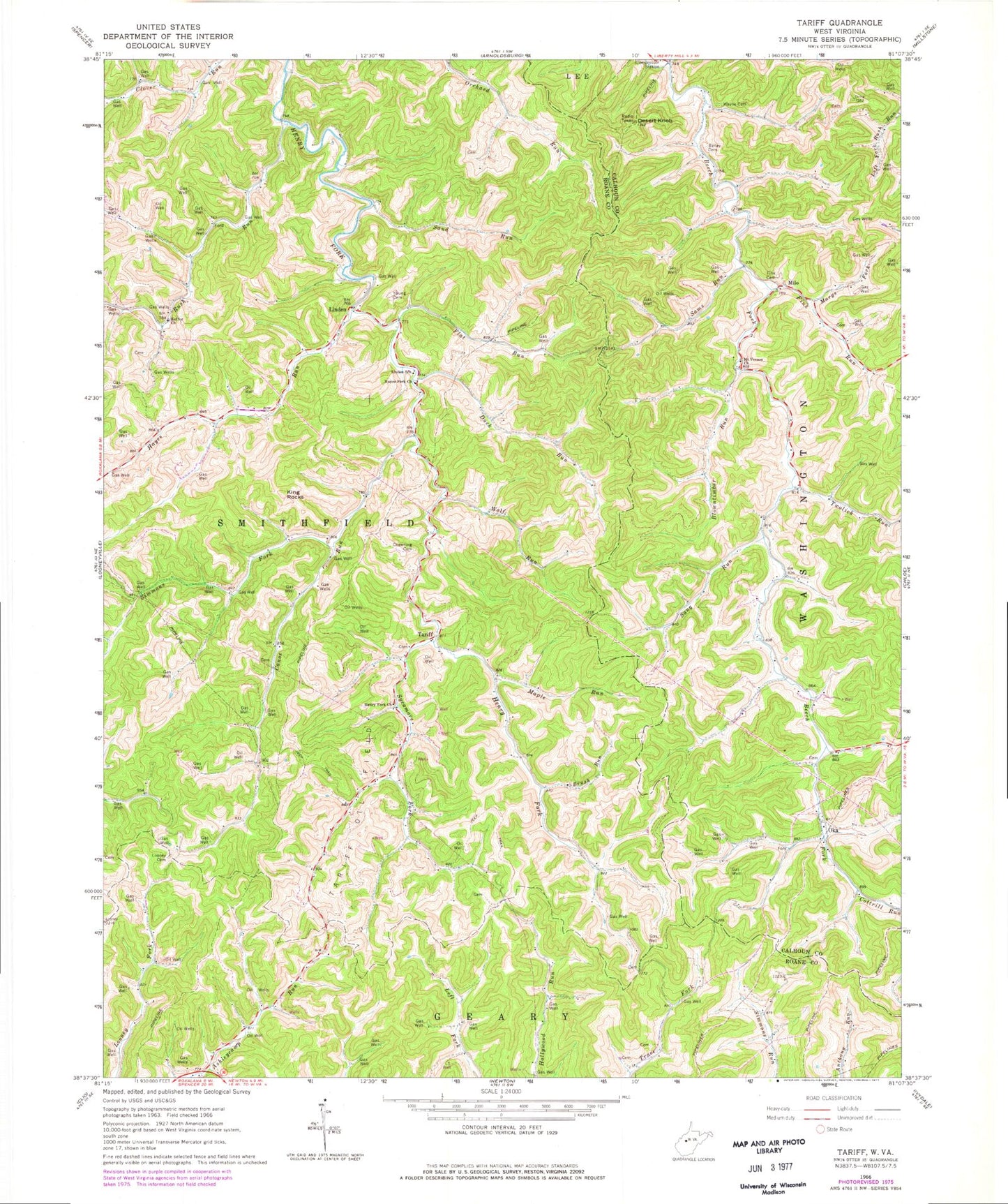
Classic USGS Tariff West Virginia 7.5'x7.5' Topo Map
Couldn't load pickup availability
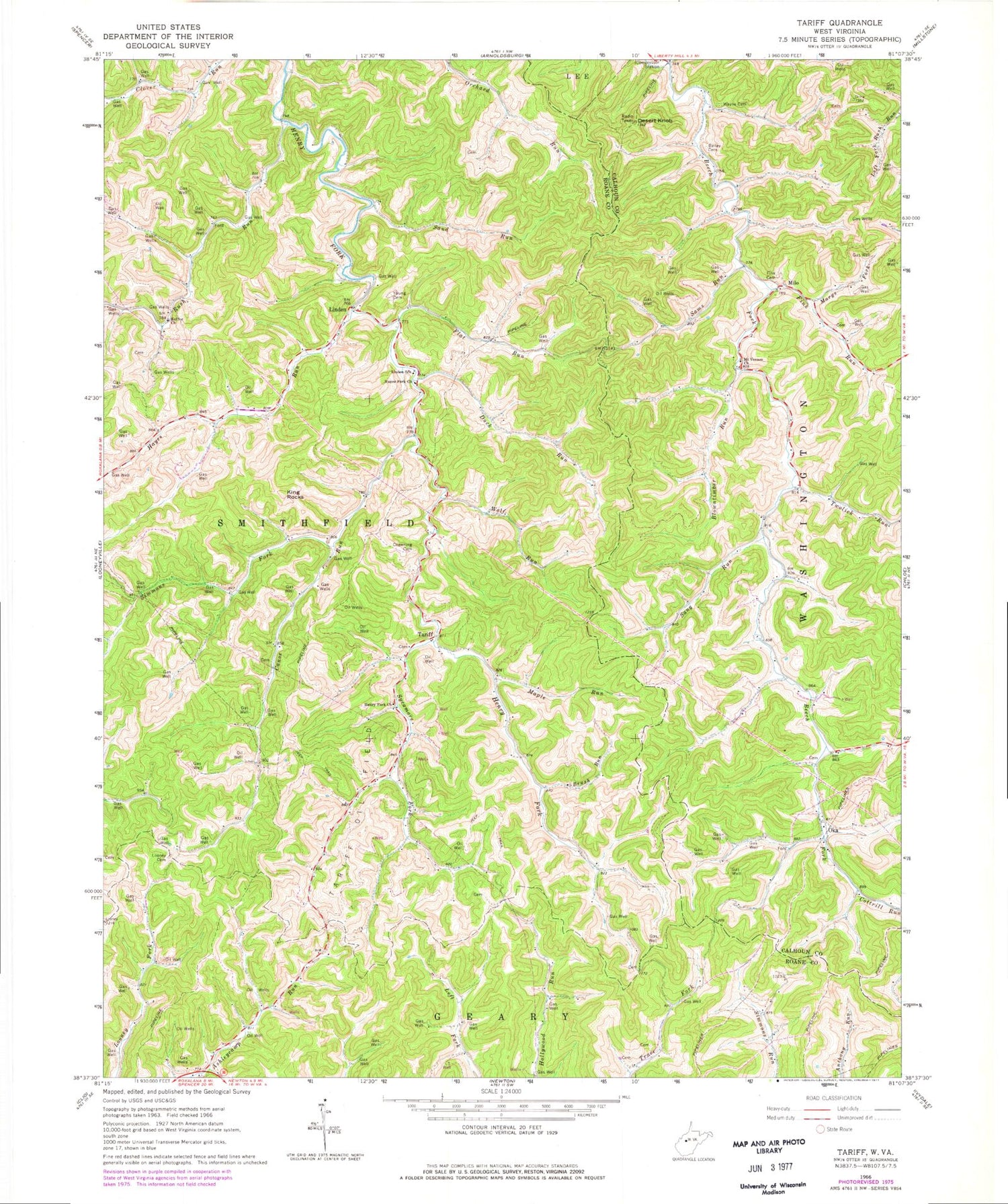
Historical USGS topographic quad map of Tariff in the state of West Virginia. Map scale may vary for some years, but is generally around 1:24,000. Print size is approximately 24" x 27"
This quadrangle is in the following counties: Calhoun, Roane.
The map contains contour lines, roads, rivers, towns, and lakes. Printed on high-quality waterproof paper with UV fade-resistant inks, and shipped rolled.
Contains the following named places: Bailey Cemetery, Blowntimber Run, Bright, Brush Run, Canoe Run, Chewning Cemetery, Cook Run, Cottrill Run, Desert Knob, Duck Run, Fink Cemetery, Fink Run, Flat Run, Harold Cemetery, Hayes Fork Church, Hayes Run, Helmic Cemetery, Henry Fork Church, Jarvis Cemetery, Keffer Church, King Rocks, Linden, Linden Post Office, Linden School, Looney Cemetery, Maple Run, Marys Fork, Milo, Mount Vernon Church, Oka, Pocatalico River Structure Number 14 Dam, Rush Run, Sams Run, Sand Run, Sang Run, Silcott Lake, Simmons Fork, Sycamore Fork, Tariff, Tariff Cemetery, Tariff Oil Field, Tariff Post Office, Twolick Run, Wayne Cemetery, Wolf Run, Young Cemetery


