MyTopo
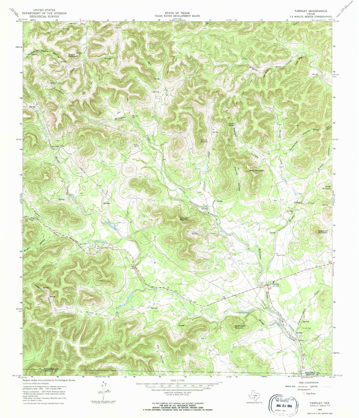
Classic USGS Tarpley Texas 7.5'x7.5' Topo Map
Couldn't load pickup availability
Historical USGS topographic quad map of Tarpley in the state of Texas. Typical map scale is 1:24,000, but may vary for certain years, if available. Print size: 24" x 27"
This quadrangle is in the following counties: Bandera, Medina.
The map contains contour lines, roads, rivers, towns, and lakes. Printed on high-quality waterproof paper with UV fade-resistant inks, and shipped rolled.
Contains the following named places: Bishop Hollow, Bee Bluff, Brushy Hollow, Commissioners Creek, Deadwood Hollow, Dewberry Hollow, Eagle Bluff, Gunsight Mountain, Iron Top Mountain, Monroe Hollow, Padgett Hollow, Pass Creek, Pigeon Roost Creek, Round Mountain, Ryle Creek, Saddleback Mountain, Soto Mountain, Spring Creek, Sugarloaf Mountain, Tarpley, Tarpley Cemetery, Thomas Creek, Townsend Camp Hollow, Walker Creek, Williams Creek, Wright Creek, Simpson Creek, Twin Falls Ranch Airport (historical), McClennahan Lake 1 Dam, McClennahan Lake 1, McClennahan Lake 2 Dam, McClennahan Lake 2, Voss Lake Dam, Voss Lake, Shadow Dance Ranch Dam, Shadow Dance Ranch Lake, Tarpley Post Office


