MyTopo
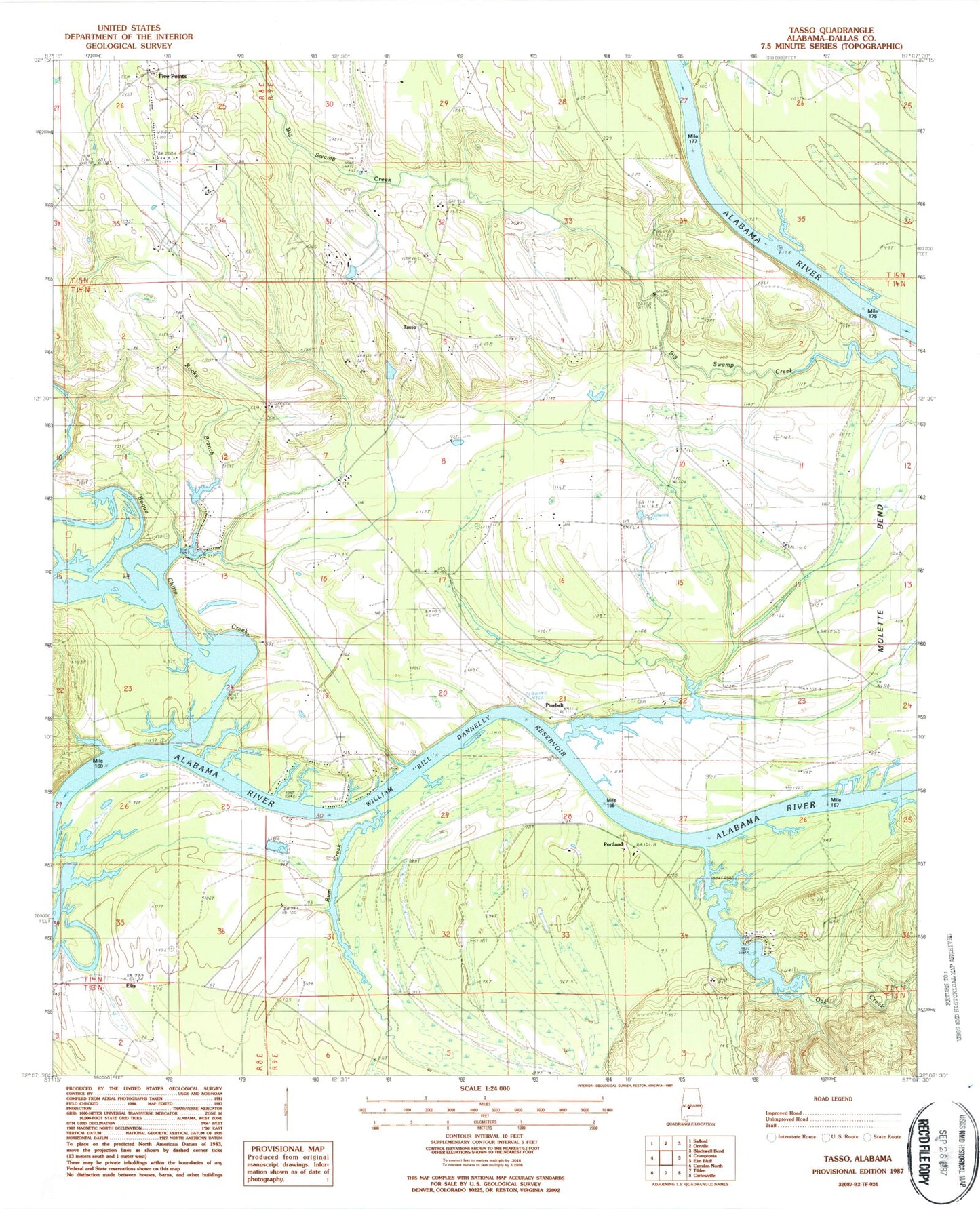
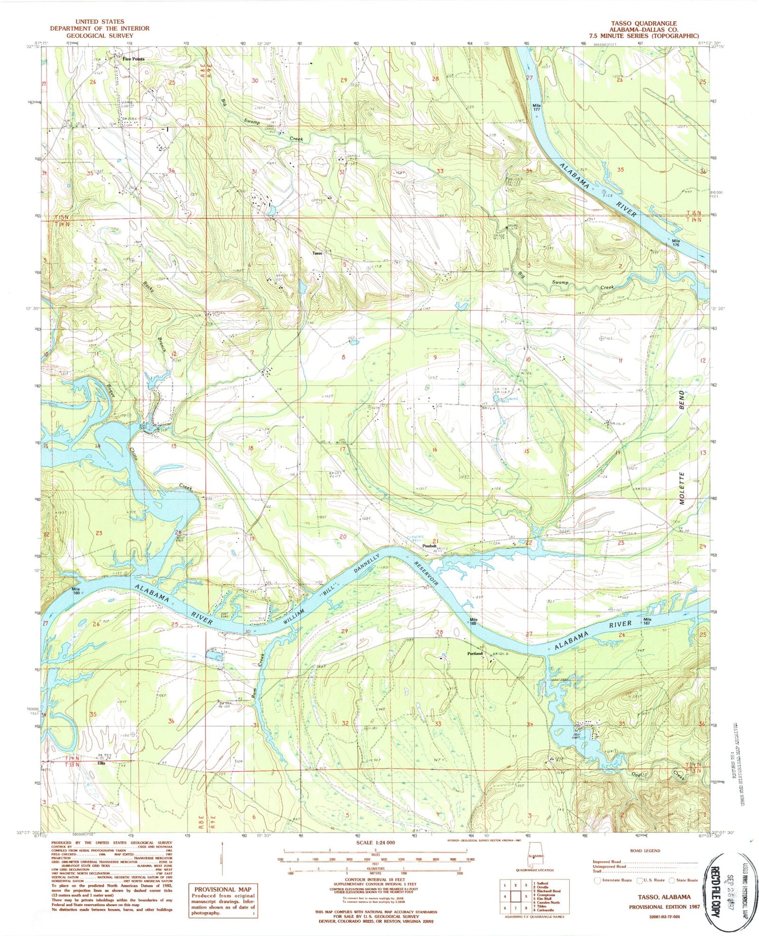
Classic USGS Tasso Alabama 7.5'x7.5' Topo Map
Couldn't load pickup availability
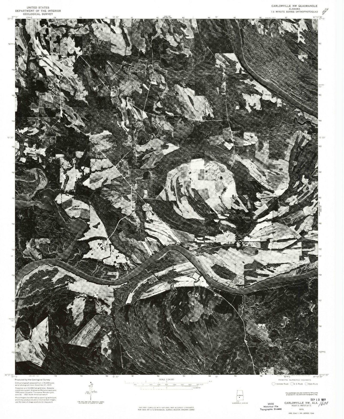
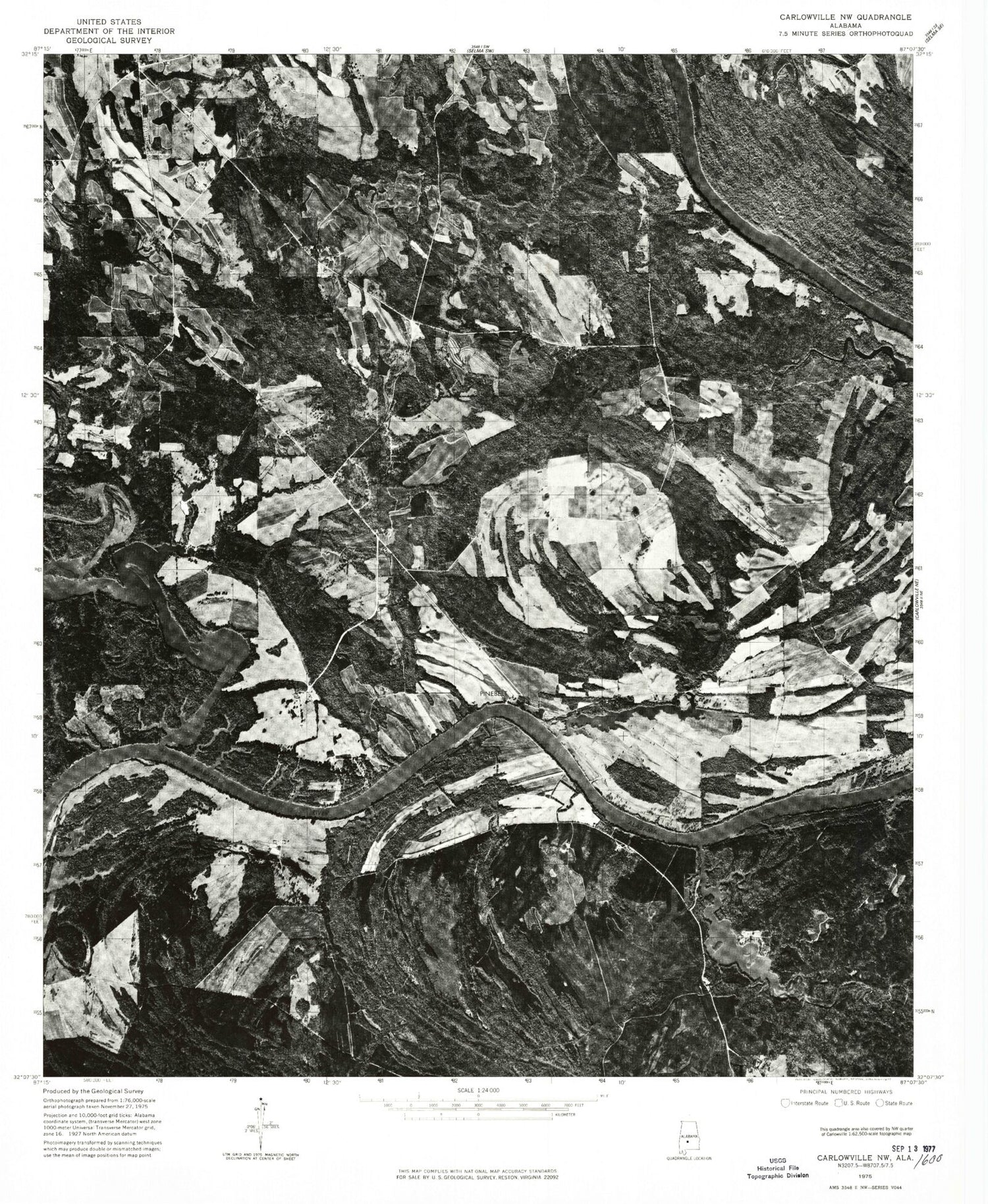
Historical USGS topographic quad map of Tasso in the state of Alabama. Map scale may vary for some years, but is generally around 1:24,000. Print size is approximately 24" x 27"
This quadrangle is in the following counties: Dallas.
The map contains contour lines, roads, rivers, towns, and lakes. Printed on high-quality waterproof paper with UV fade-resistant inks, and shipped rolled.
Contains the following named places: Antioch Church, Bethel School, Bogue Chitto Creek, Bogue Chitto Public Use Area, Cambridge Church, Cheerful Church Number 2, Cheerful School, Ellis, Five Points, Five Points Elementary School, Halls Ferry, Lexington, Lexington Bar, Little Zion Church, Lower Portland Bar, Lutheran School, McMillan Cemetery, Meridith Lake, Meridith Lake Dam, Middle Sister Bar, Molette Bend School, Molette Cemetery, Mount Pleasant Church, New Bethel Cemetery, New Bethel Church, Oak Creek, Pine Belt Landing, Pinebelt, Portland, Portland Public Use Area, Providence Church, Providence School, Rifleman Bar, River Oaks Marina, River Oaks Volunteer Fire Department, Rocky Branch, Rocky Branch Church, Rocky Branch School, Rum Creek, Seale Cemetery, Southwest Dallas Division, Tasso, Turner Field Cemetery, Upper Portland Bar


