MyTopo
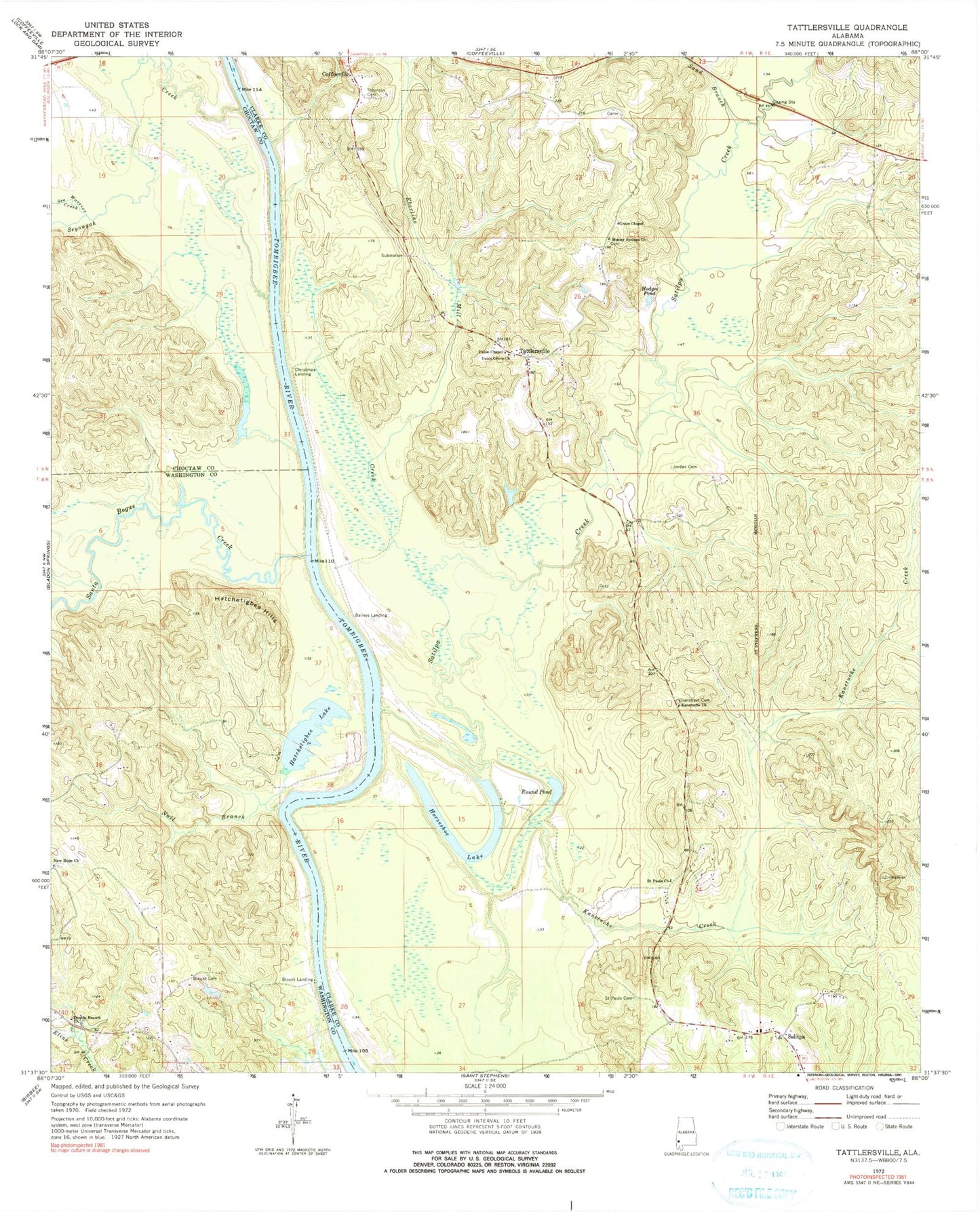
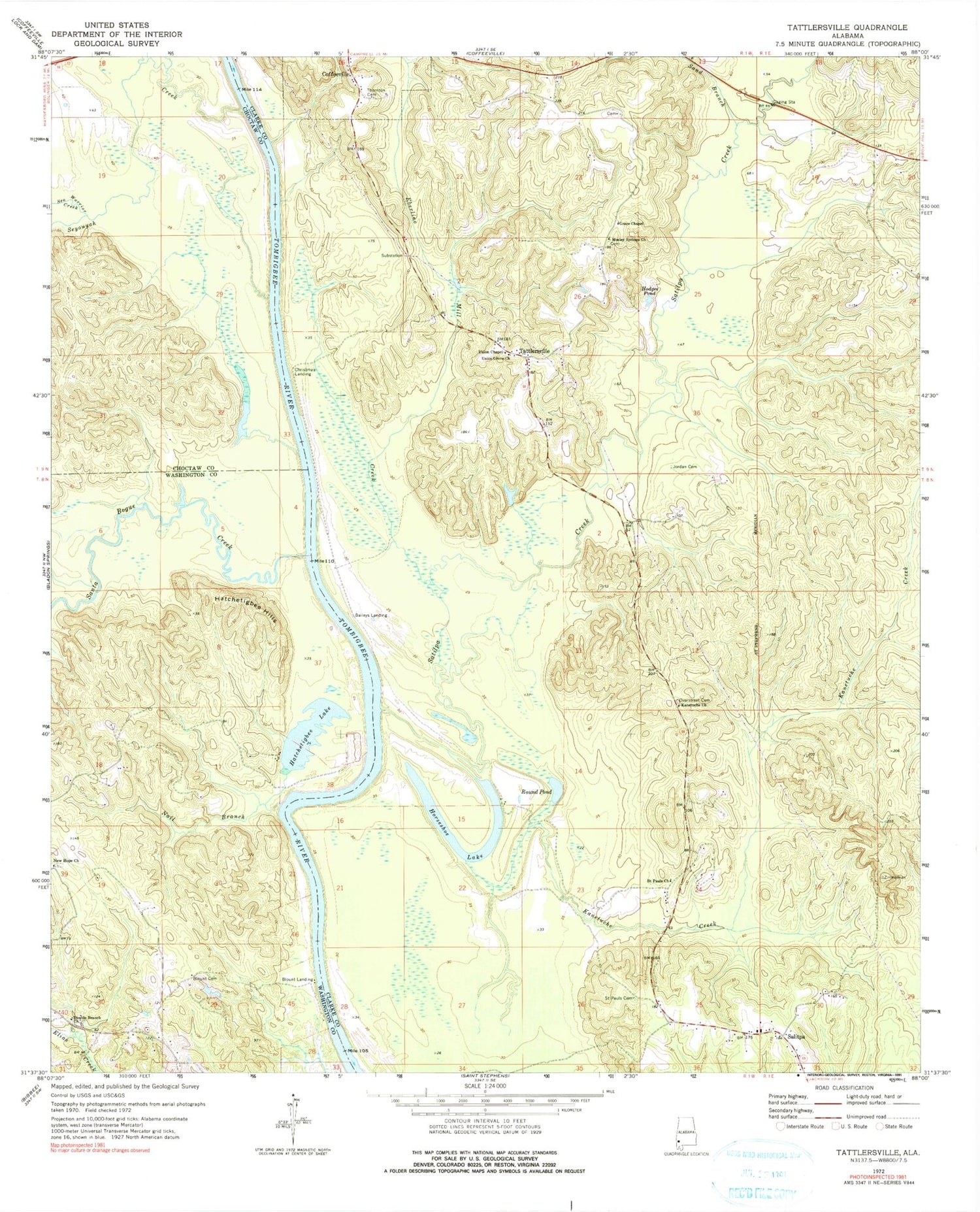
Classic USGS Tattlersville Alabama 7.5'x7.5' Topo Map
Couldn't load pickup availability
Historical USGS topographic quad map of Tattlersville in the state of Alabama. Map scale may vary for some years, but is generally around 1:24,000. Print size is approximately 24" x 27"
This quadrangle is in the following counties: Choctaw, Clarke, Washington.
The map contains contour lines, roads, rivers, towns, and lakes. Printed on high-quality waterproof paper with UV fade-resistant inks, and shipped rolled.
Contains the following named places: Atkinson Landing, Baileys Landing, Bass Landing, Blount Cemetery, Blount Landing, Buena Vista Landing, Cato Landing, Chillitos Landing, Christmas Landing, Church of the Living God, Clantons Landing, Double Branch Assembly of God Church, Eberline Mill Creek, Frankville Landing, Grace Chapel, Hatcheetigbee Landing, Hatchetigbee Hills, Hatchetigbee Lake, Hatchetigbee Landing, Hatchitigbee Bar, Hazard Landing, Hazzards Bar, Hodges Pond, Horrace Williams Landing, Horseshoe Lake, J B Malones Landing, Jordan Cemetery, Kanetuche Church, Kanetuche Creek, Mitchells Reserve, Mosley Springs Church, Nail Branch, New Hope Cemetery, New Hope United Methodist Church, New Union Church, Overstreet Cemetery, Rock Bluff, Round Pond, Saint Paul School, Saint Pauls Cemetery, Saint Pauls Church, Salitpa, Salitpa Church, Salitpa Creek, Sand Branch, Santa Bogue Creek, Scotts Woodyard Landing, Sea Warrior Creek, Seyouyah Creek, Singletons Landing, Tattlersville, Thornton Cemetery, Union Chapel Methodist Church, Union Grove Church, Upper Bass Landing, Watts Landing


