MyTopo
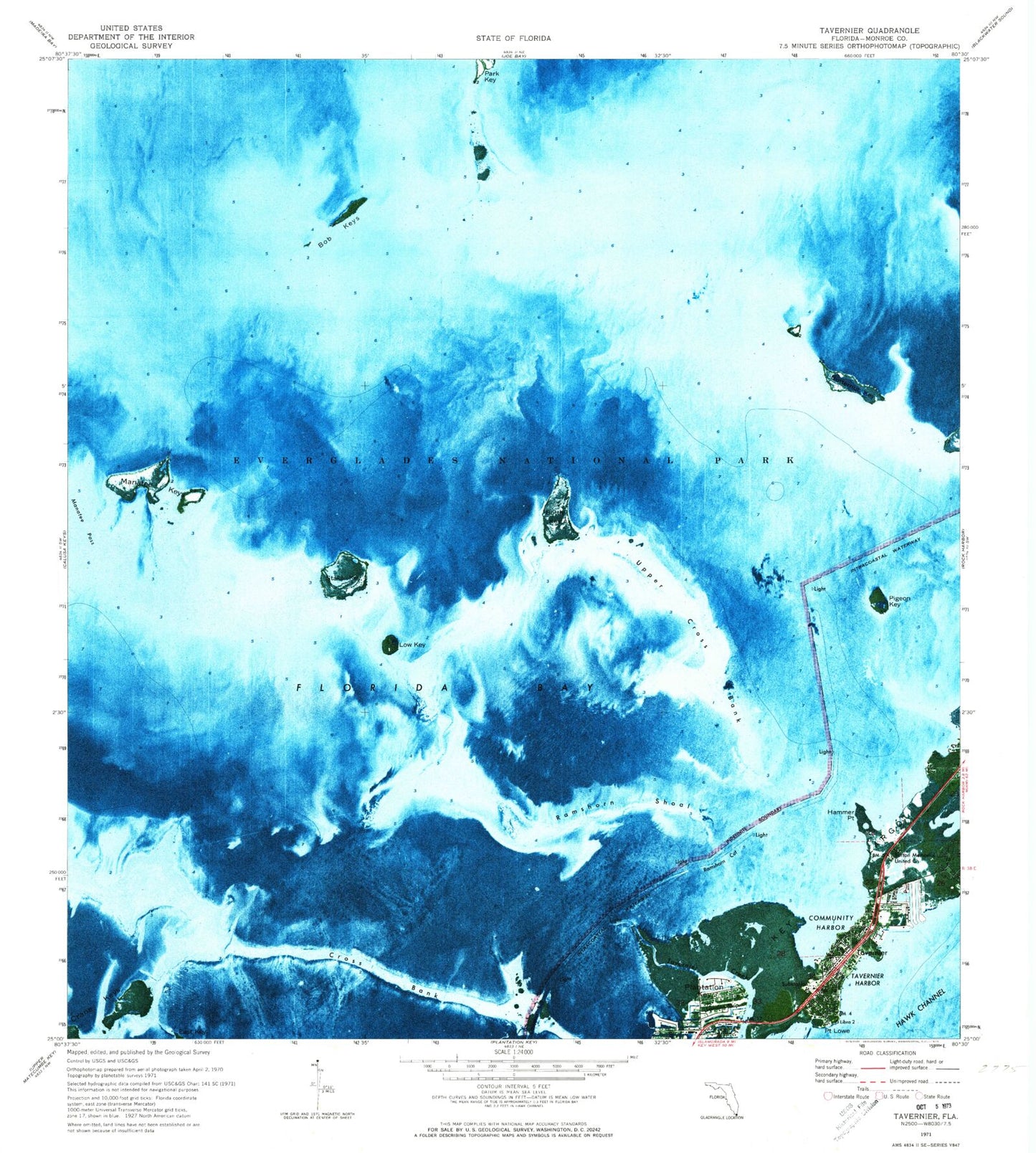
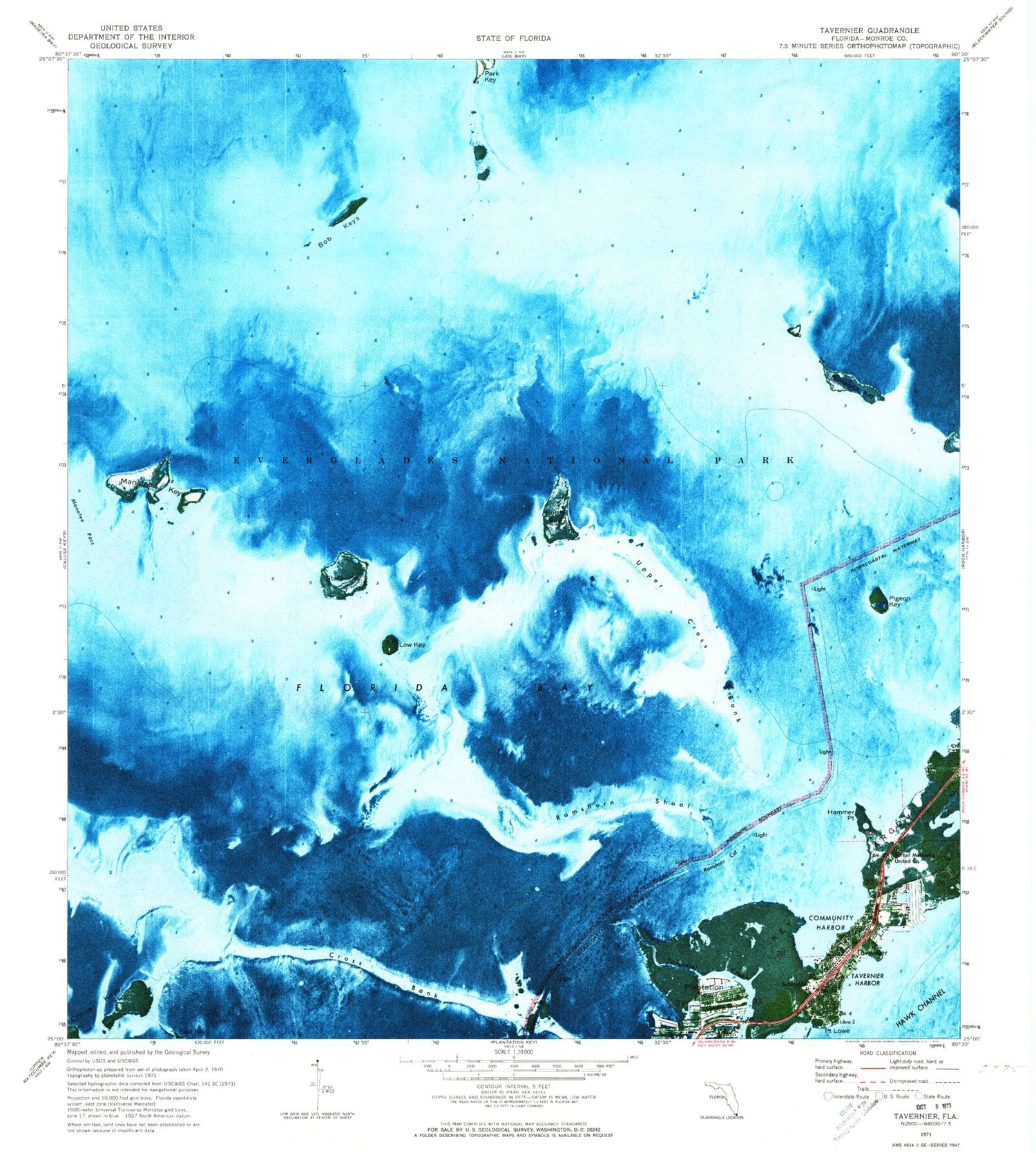
Classic USGS Tavernier Florida 7.5'x7.5' Topo Map
Couldn't load pickup availability
Historical USGS topographic quad map of Tavernier in the state of Florida. Map scale may vary for some years, but is generally around 1:24,000. Print size is approximately 24" x 27"
This quadrangle is in the following counties: Monroe.
The map contains contour lines, roads, rivers, towns, and lakes. Printed on high-quality waterproof paper with UV fade-resistant inks, and shipped rolled.
Contains the following named places: Bob Keys, Bottle Key, Burton Memorial United Church, Burton Memorial United Methodist Church, Butternut Key, Church of God of Plantation Key, Cowpens Cut, Crane Keys, Cross Bank, Dove Sound, Hammer Point, Low Key, Manatee Keys, Manatee Pass, Mariners Hospital, Monroe County Sheriff's Office, Pigeon Key, Point Lowe, Ramshorn Cut, Ramshorn Shoal, Stake Key, Tavernaero Park Airport, Tavernier, Tavernier Census Designated Place, Tavernier Creek, Tavernier Harbor, Tavernier Post Office, Tavernier Volunteer Fire / Ambulance Department, Tavernier Volunteer Fire Department Station 22, Upper Cross Bank, WFKZ-FM (Plantation Key), ZIP Code: 33070


