MyTopo
Classic USGS Taylor Peak Idaho 7.5'x7.5' Topo Map
Couldn't load pickup availability
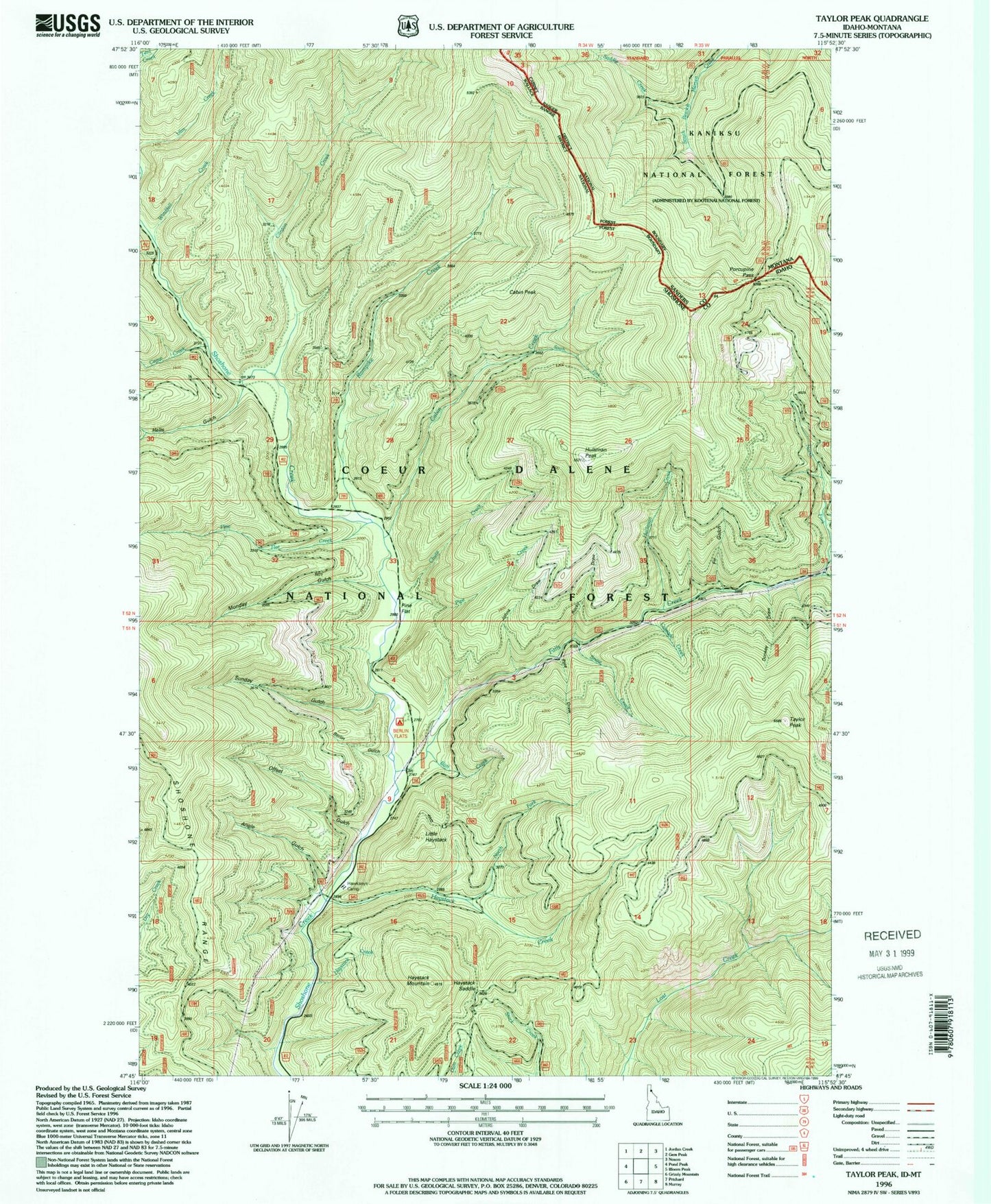
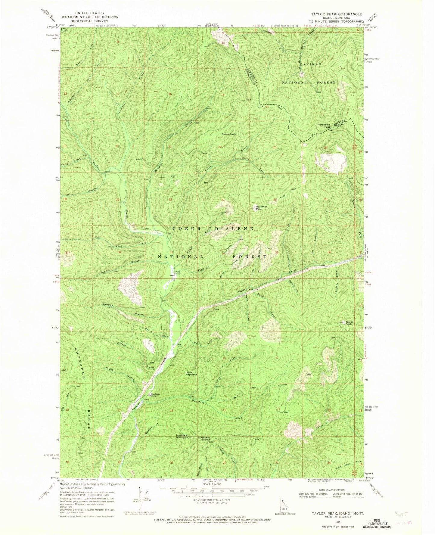
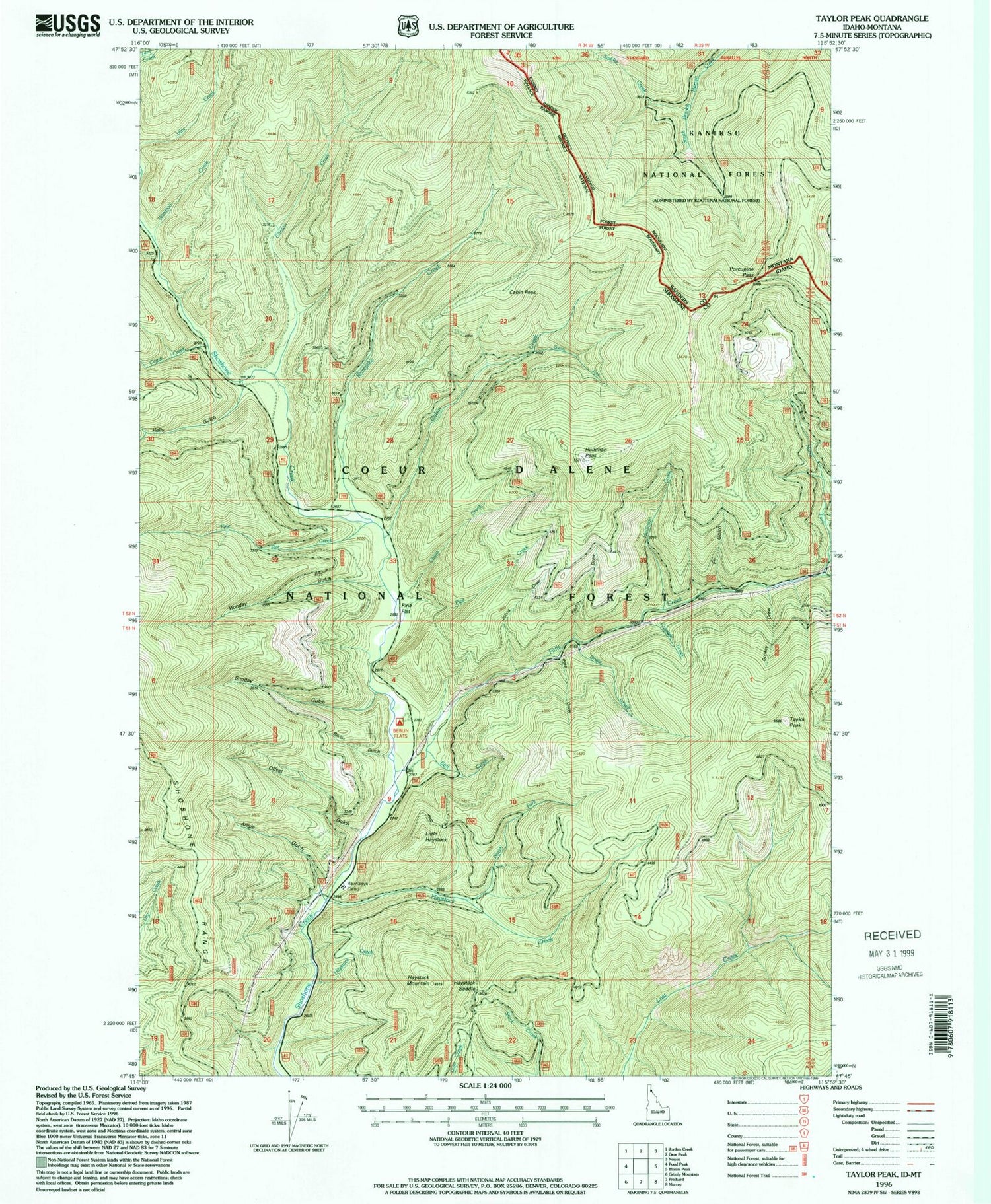
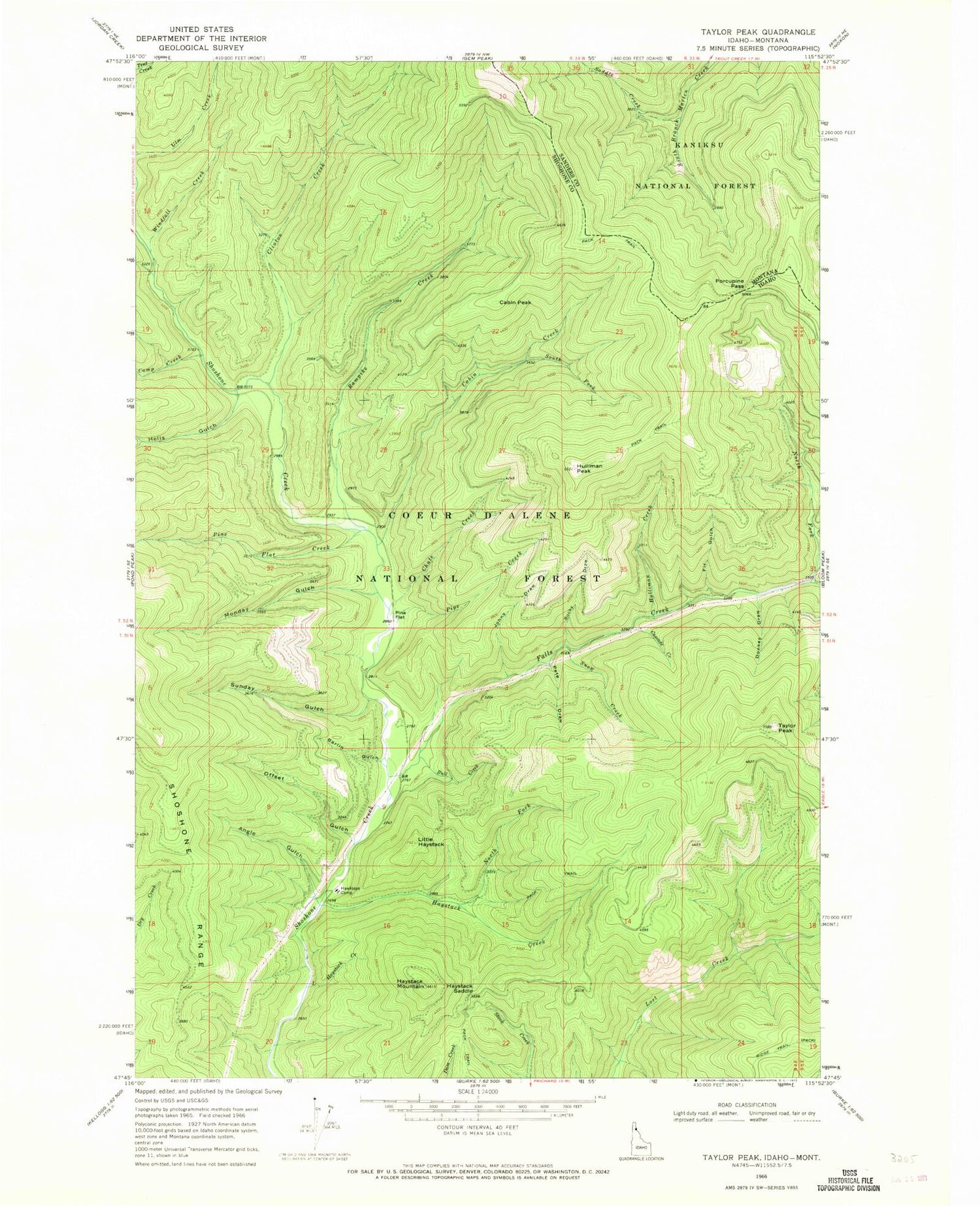
Historical USGS topographic quad map of Taylor Peak in the states of Idaho, Montana. Map scale may vary for some years, but is generally around 1:24,000. Print size is approximately 24" x 27"
This quadrangle is in the following counties: Sanders, Shoshone.
The map contains contour lines, roads, rivers, towns, and lakes. Printed on high-quality waterproof paper with UV fade-resistant inks, and shipped rolled.
Contains the following named places: Angle Gulch, Berlin Flats, Berlin Gulch, Bull Creek, Cabin Creek, Cabin Peak, Camp Creek, Cascade Creek, Chute Creek, Clinton Creek, Donkey Draw, Falls Creek, Fir Gulch, Hawkseye Camp, Haystack Creek, Haystack Mountain, Haystack Saddle, Hells Gulch, Hulliman Creek, Hulliman Peak, Johns Draw, Little Haystack, Little Haystack Creek, Monday Gulch, North Fork Haystack Creek, Offset Gulch, Pete Draw, Pine Flat, Pine Flat Creek, Pipe Creek, Porcupine Pass, Rampike Creek, Ridge Trail, Rocky Draw, Ruth V/SID Mine, Saddle Creek, Snow Creek, South Fork Cabin Creek, South Fork Falls Creek, South Fork Hells Gulch, Sunday Gulch, Taylor Peak, Windfall Creek


