MyTopo
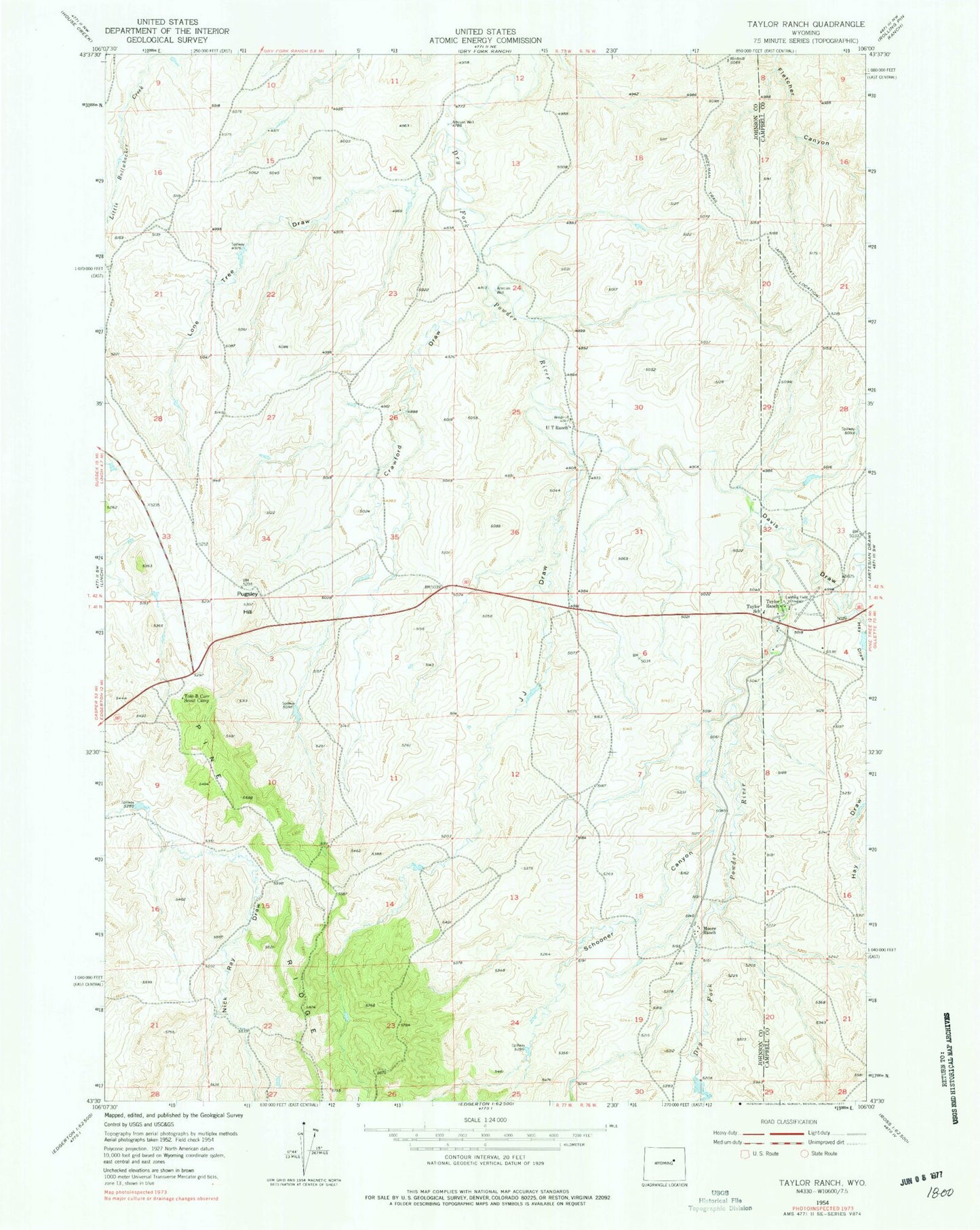
Classic USGS Taylor Ranch Wyoming 7.5'x7.5' Topo Map
Couldn't load pickup availability
Historical USGS topographic quad map of Taylor Ranch in the state of Wyoming. Map scale may vary for some years, but is generally around 1:24,000. Print size is approximately 24" x 27"
This quadrangle is in the following counties: Campbell, Johnson.
The map contains contour lines, roads, rivers, towns, and lakes. Printed on high-quality waterproof paper with UV fade-resistant inks, and shipped rolled.
Contains the following named places: Bob Dam, Crawford Draw, Davis Draw, Hanna Four Mine, Hanna One Mine, Hay Draw, Iberlin Ranch Number 2 Airport, J J Draw, Lone Tree Draw, Moore Ranch, Murk Dam, Murk Reservoir, Pine Dale Dam, Pine Dale Reservoir, Pugsley Hill, Schooner Canyon, Taylor Ranch, Taylor School, Tom B Carr Scout Camp, U T Ranch