MyTopo
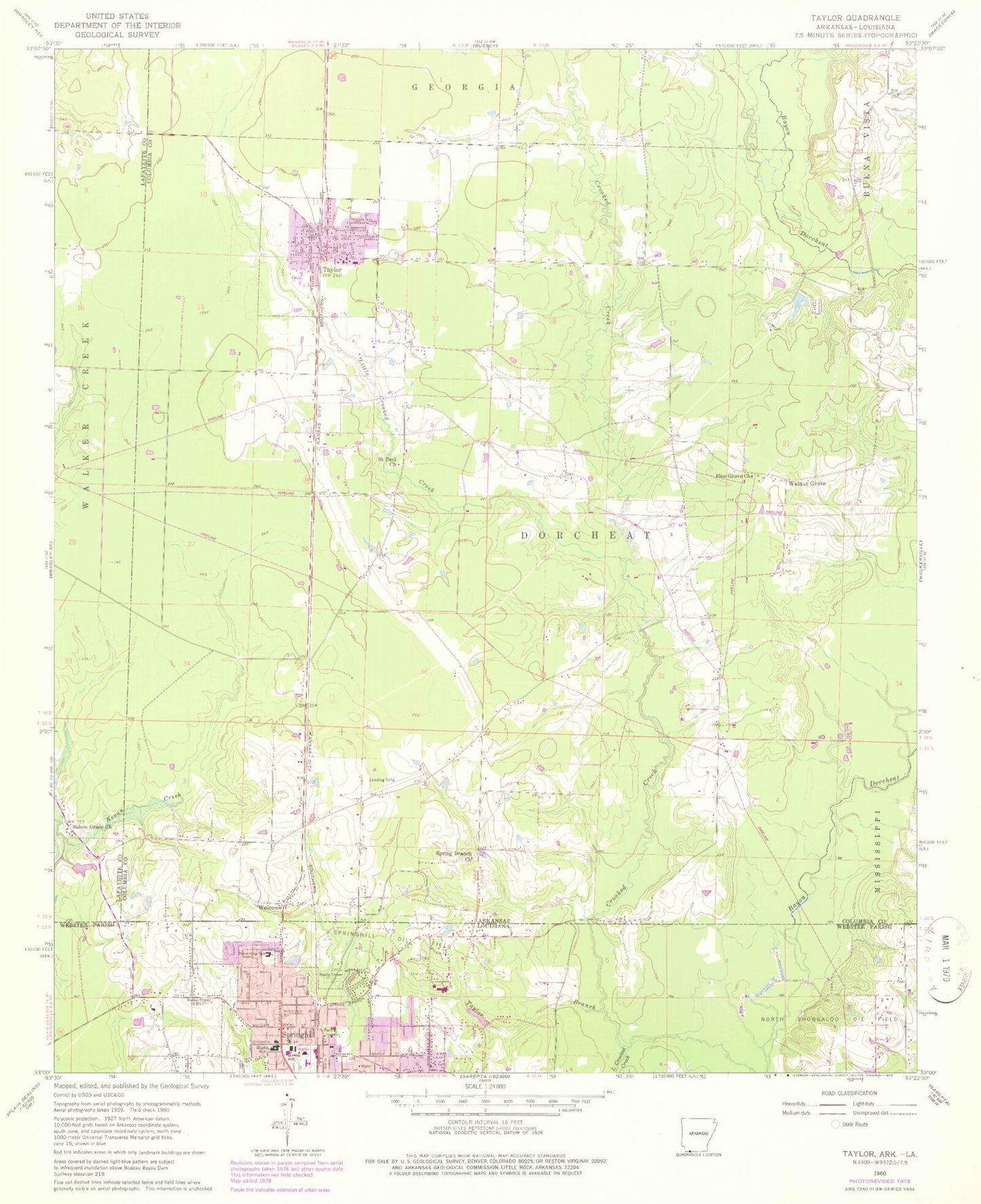
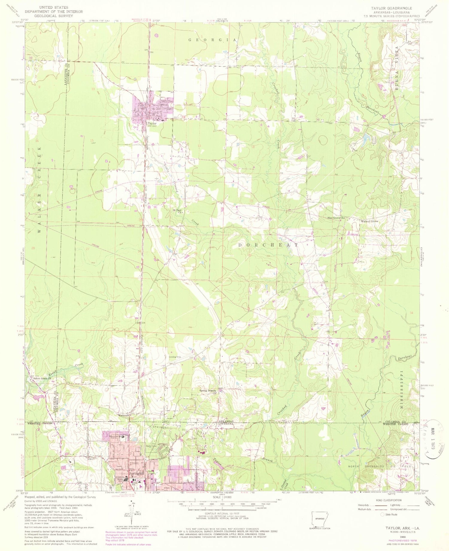
Classic USGS Taylor Arkansas 7.5'x7.5' Topo Map
Couldn't load pickup availability
Historical USGS topographic quad map of Taylor in the states of Arkansas, Louisiana. Map scale may vary for some years, but is generally around 1:24,000. Print size is approximately 24" x 27"
This quadrangle is in the following counties: Columbia, Lafayette, Webster.
The map contains contour lines, roads, rivers, towns, and lakes. Printed on high-quality waterproof paper with UV fade-resistant inks, and shipped rolled.
Contains the following named places: Arkansas Louisiana Gas Lake, Arkansas Louisiana Gas Lake Dam, Boucher Cemetery, Browning Elementary School, Central Baptist Church, City of Springhill, City of Taylor, Doctors Clinic, First Assembly of God Church, First Baptist Church, Fountain View Nursing Home, Gray Clinic, Howell School, KBSF-AM (Springhill), KTKC-FM (Springhill), Lakewood Estates, Little Crooked Creek, Lumberjack Stadium, North Acres, North Webster High School, Parish Governing Authority District 1, Pine Grove Church, Randy McMahen Park, Saint Paul Church, Salem Grace Church, Sandlin Lake, Spring Branch Church, Springhill, Springhill Cemetery, Springhill Christian Church, Springhill City Hall, Springhill Civic Center, Springhill Fire District 11, Springhill Medical Center, Springhill Oil Field, Springhill Police Department, Springhill Post Office, Springhill Presbyterian Church, Springhill Public Library, Springhill United Methodist Church, Taylor, Taylor Branch, Taylor Elementary School, Taylor High School, Taylor Post Office, Taylor Volunteer Fire Department, Township of Dorcheat, Walnut Grove, Walnut Grove School, Webster Parish Fire Protection District 11 Springhill Fire District Station 2, Webster Parish Fire Protection District 11 Springhill Fire District Station 3, Welcome, Welcome United Methodist Church, Woodlawn, ZIP Code: 71861


