MyTopo
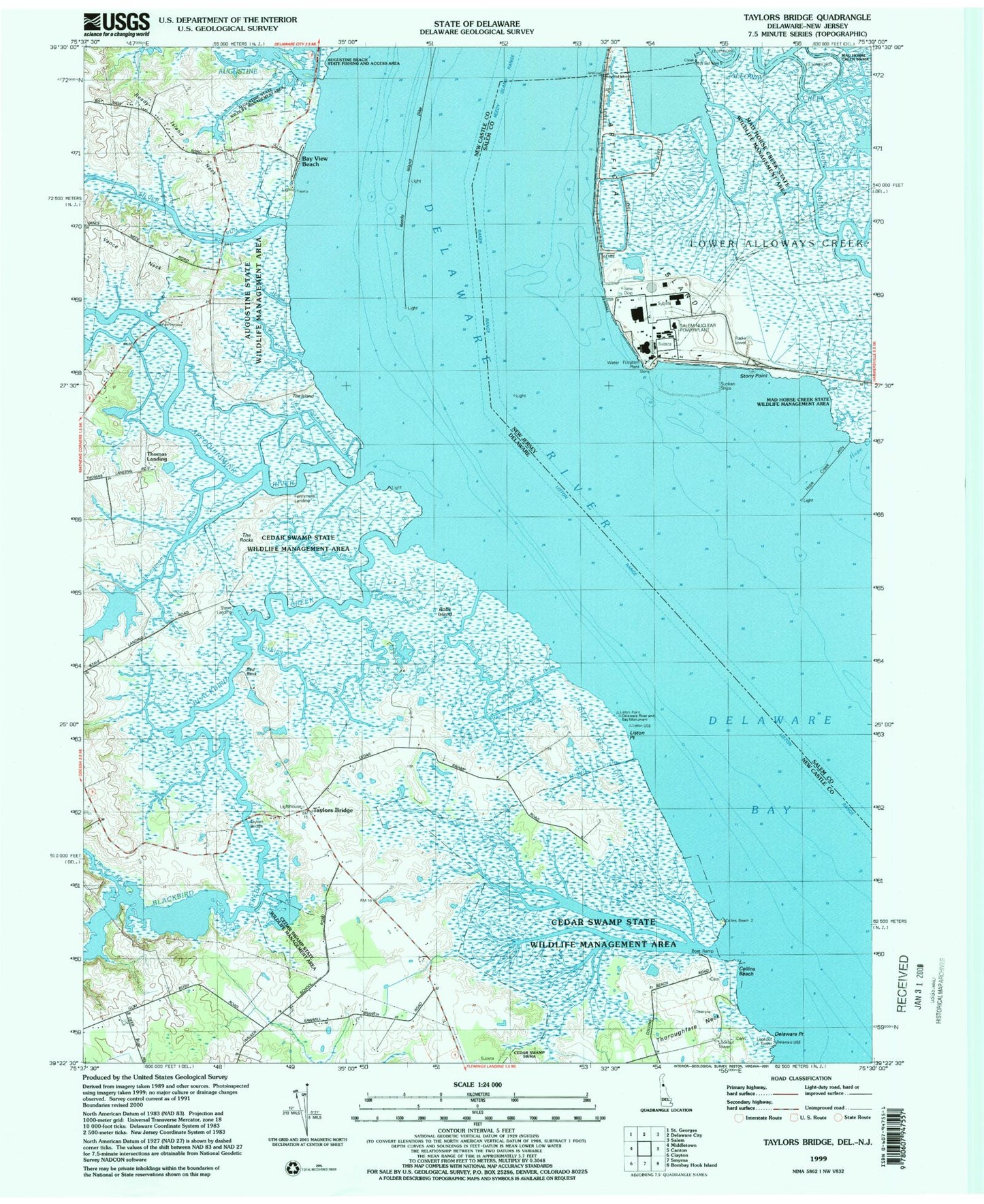
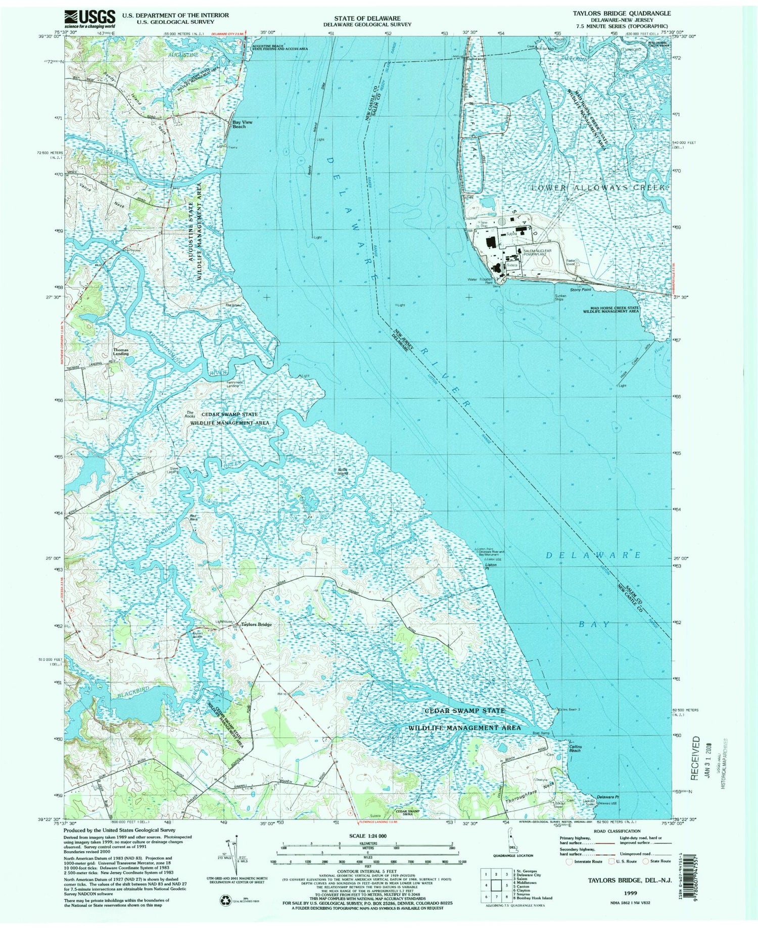
Classic USGS Taylors Bridge Delaware 7.5'x7.5' Topo Map
Couldn't load pickup availability
Historical USGS topographic quad map of Taylors Bridge in the states of Delaware, New Jersey. Map scale may vary for some years, but is generally around 1:24,000. Print size is approximately 24" x 27"
This quadrangle is in the following counties: New Castle, Salem.
The map contains contour lines, roads, rivers, towns, and lakes. Printed on high-quality waterproof paper with UV fade-resistant inks, and shipped rolled.
Contains the following named places: Alloway Hope Halfway, Angle Rod Creek, Appoquinimink Range Lights, Appoquinimink River, Appoquinimink Wildlife Area, Artificial Island, Augustine Creek, Augustine State Wildlife Management Area, Baker Range, Baker Shoal, Bay View Beach, Beaver Branch, Blackbird Creek, Cedar Swamp, Cedar Swamp State Wildlife Management Area, Collins Beach, Daniels Tract, Delaware Point, Delaware River, Delaware River and Bay Monument, Fennimore Bridge, Fennimore Landing, Fishing Creek, Gravel Gut, Hangmans Run, Hart House, Hope Creek, Hope Creek Jetty, Liston House, Liston Point, Liston Range, Lower Break, Middle Drain, Mill Creek, Peach House Ditch, Pools Bottom, Public Service Electric and Gas Nuclear Limited Liability Company EMS, Rays Ditch, Red Bank, Reedy Island Dike, Reedy Island Neck, River Shore Ditch, Robs Island, Saint Augustine Landing, Salem-Hope Creek Nuclear Power Plant, Silver Run, Silver Run Wildlife Area, Skunk Hill Ditch, Stave Landing, Stony Point, Taylors Bridge, The Big Ditch, The Island, The Rocks, Thomas Landing, Thoroughfare Neck, Upper Break, Vance Neck, Vogel House, White Oak Ditch, Wisacco Cipus


