MyTopo
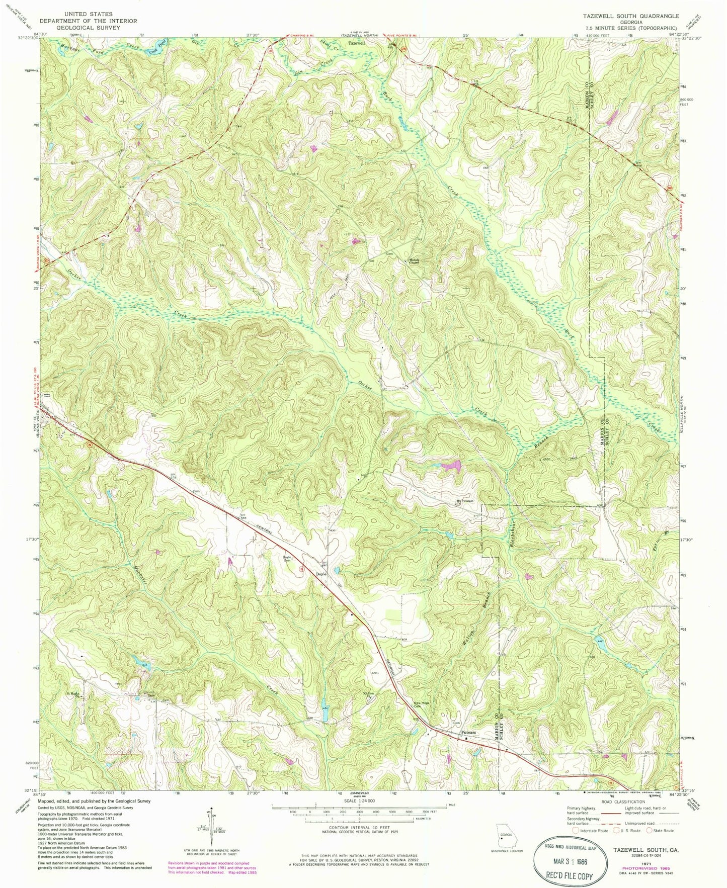
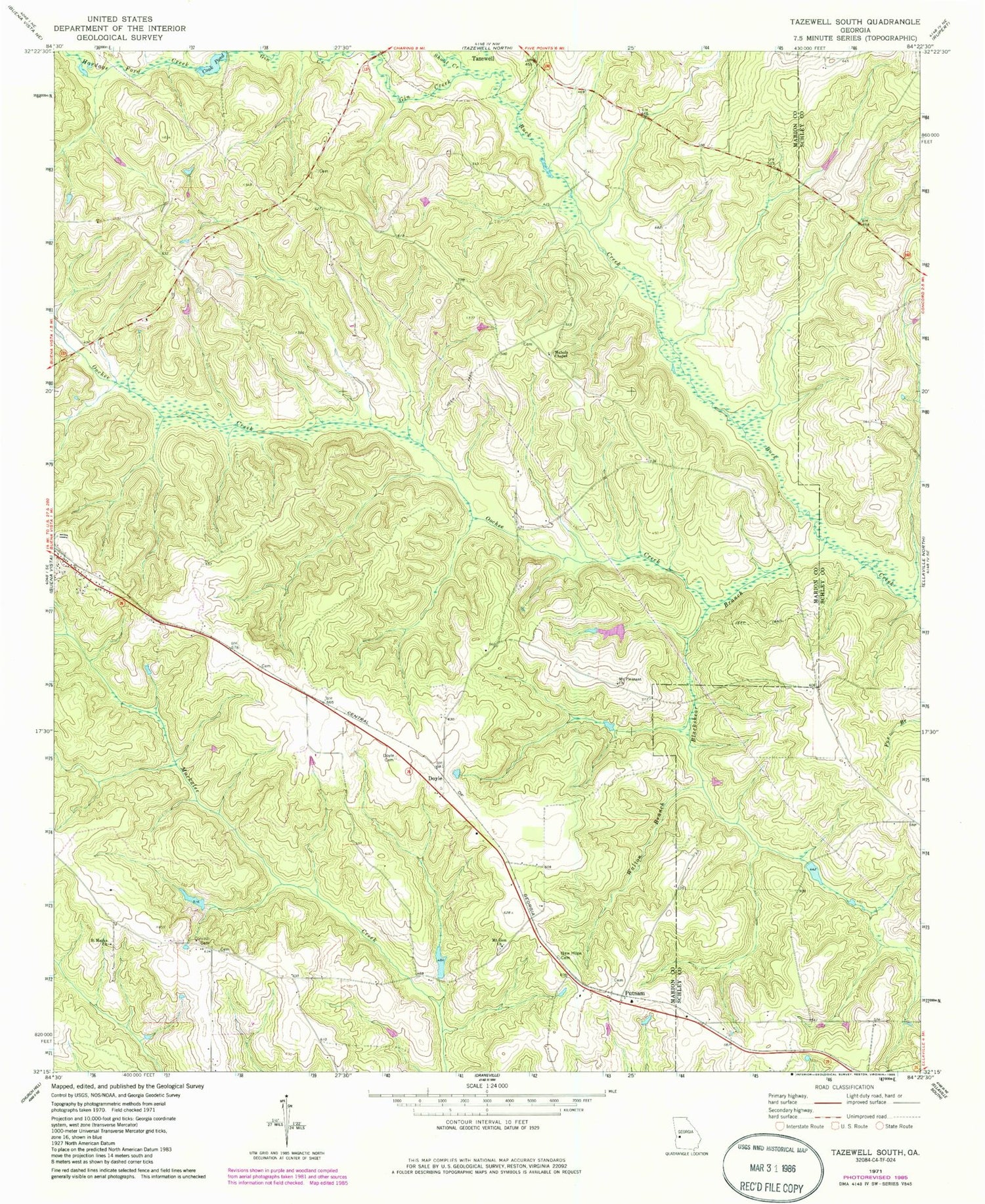
Classic USGS Tazewell South Georgia 7.5'x7.5' Topo Map
Couldn't load pickup availability
Historical USGS topographic quad map of Tazewell South in the state of Georgia. Typical map scale is 1:24,000, but may vary for certain years, if available. Print size: 24" x 27"
This quadrangle is in the following counties: Marion, Schley.
The map contains contour lines, roads, rivers, towns, and lakes. Printed on high-quality waterproof paper with UV fade-resistant inks, and shipped rolled.
Contains the following named places: Blackshear Branch, Cook Pond, Corinth Cemetery, Doyle Cemetery, Gin Creek, Hardage Ford Creek, Mahala Chapel, Mount Pleasant Church, Mount Zion Church, New Hope Cemetery, Oochee Creek, Saint Marks Church, Shoal Creek, Walton Branch, Putnam, Bell Dam, Bell Lake, Miller Lake Dam, Miller Lake, Doyle, Mount Zion Church Cemetery


