MyTopo
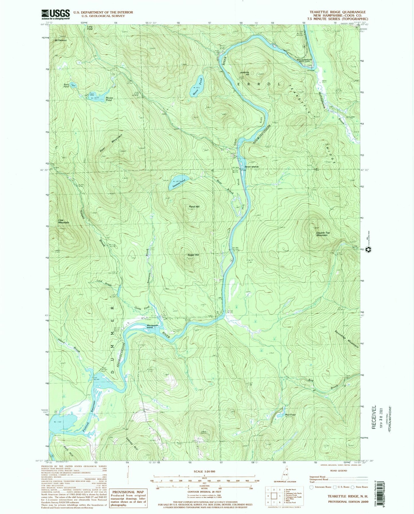
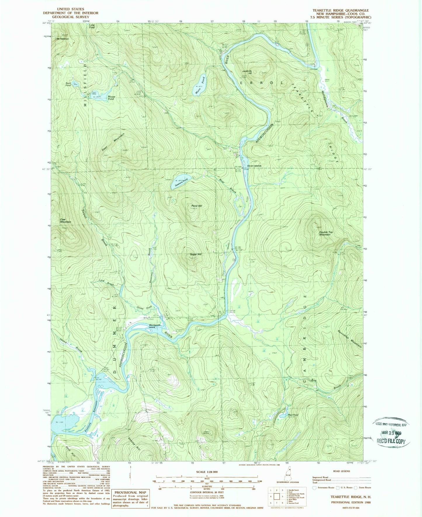
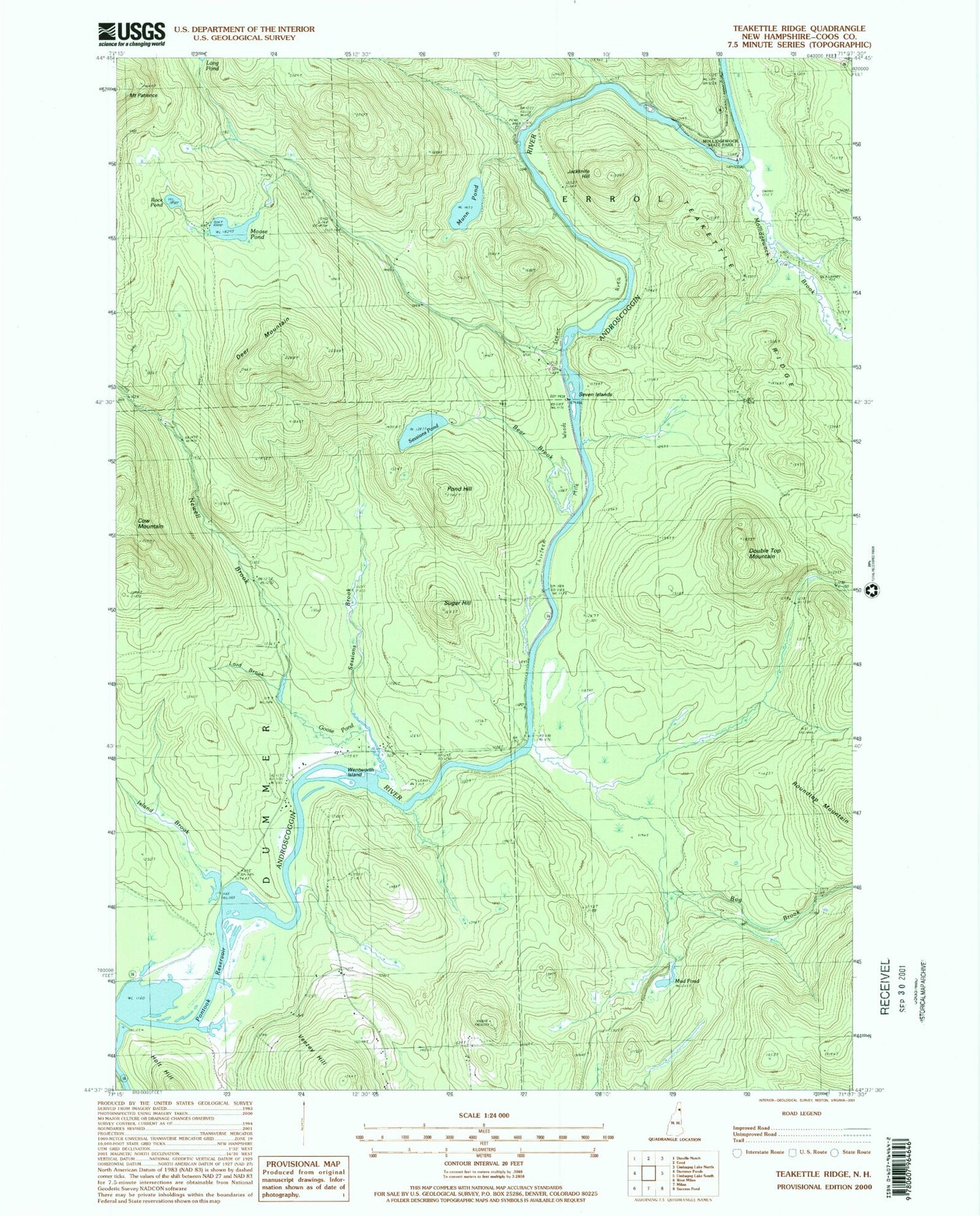
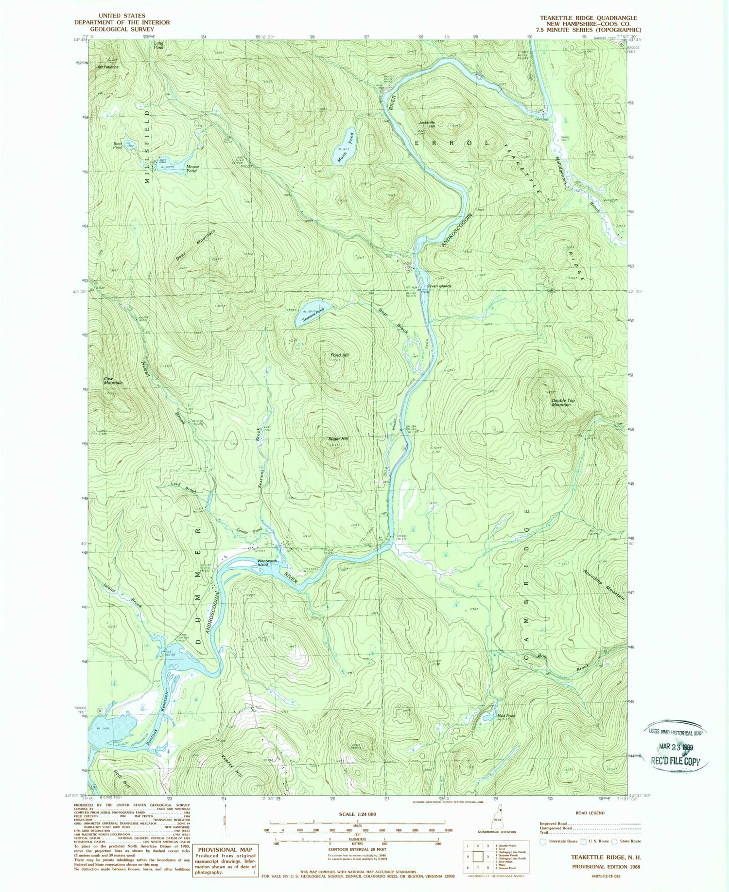
Classic USGS Teakettle Ridge New Hampshire 7.5'x7.5' Topo Map
Couldn't load pickup availability
Historical USGS topographic quad map of Teakettle Ridge in the state of New Hampshire. Typical map scale is 1:24,000, but may vary for certain years, if available. Print size: 24" x 27"
This quadrangle is in the following counties: Coos.
The map contains contour lines, roads, rivers, towns, and lakes. Printed on high-quality waterproof paper with UV fade-resistant inks, and shipped rolled.
Contains the following named places: Pontook Reservoir, Bear Brook, Bog Brook, Deer Mountain, Double Top Mountain, Goose Pond, Holt Hill, Island Brook, Jackknife Hill, Lord Brook, Mollidgewock Brook, Moose Pond, Mud Pond, Munn Pond, Newell Brook, Pond Hill, Rock Pond, Sessions Brook, Sessions Pond, Seven Islands, Smoky Camp Brook, Sugar Hill, Teakettle Ridge, Thirteen Mile Woods, Veezey Hill, Wentworth Island, Pontook Reservoir Dam, Androscoggin Wayside Park, Mollidgewock Campground


