MyTopo
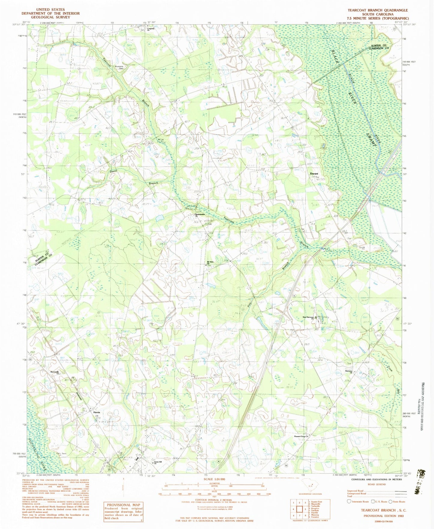
Classic USGS Tearcoat Branch South Carolina 7.5'x7.5' Topo Map
Couldn't load pickup availability
Historical USGS topographic quad map of Tearcoat Branch in the state of South Carolina. Map scale may vary for some years, but is generally around 1:24,000. Print size is approximately 24" x 27"
This quadrangle is in the following counties: Clarendon, Sumter.
The map contains contour lines, roads, rivers, towns, and lakes. Printed on high-quality waterproof paper with UV fade-resistant inks, and shipped rolled.
Contains the following named places: Alcolu, Alcolu Census Designated Place, Alcolu Division, Alcolu Elementary School, Alcolu Post Office, Alderman Pond, Alderman Pond Dam D-3486, Black River Swamp, Brunsons Cemetery, Congruity Church, Congruity School, Crow Bay, Cuttinumber Pond, Cuttinumber Pond Dam D-3482, Davis Branch, Durant, Enterprise School, Green Hill Church, Harmony Church, Harvin, Harvin School, Mount Milian Church, Mount Nebo Church, Mount Nero School, Mount Olive School, New Harmony Church, Oak Grove Church, Pen Branch, Pleasant Grove Church, Pleasant Grove School, Reevesville Church, Reevesville School, Sumter Southeast Division, Tearcoat Branch, Westminister Church, Westminister School, ZIP Codes: 29001, 29051