MyTopo
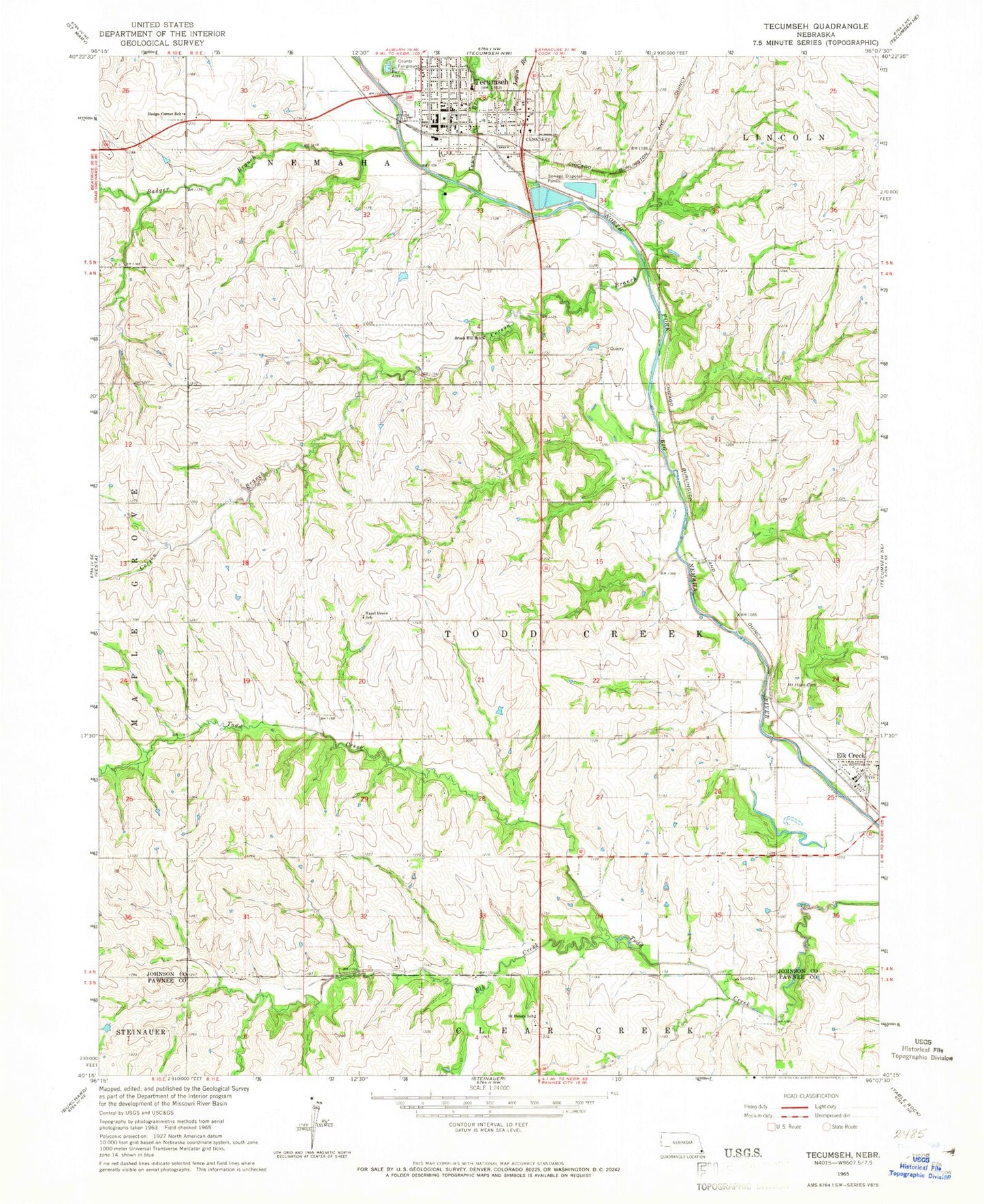
Classic USGS Tecumseh Nebraska 7.5'x7.5' Topo Map
Couldn't load pickup availability
Historical USGS topographic quad map of Tecumseh in the state of Nebraska. Map scale may vary for some years, but is generally around 1:24,000. Print size is approximately 24" x 27"
This quadrangle is in the following counties: Johnson, Pawnee.
The map contains contour lines, roads, rivers, towns, and lakes. Printed on high-quality waterproof paper with UV fade-resistant inks, and shipped rolled.
Contains the following named places: Badger Branch, Brush Hill School, City of Tecumseh, Corson Branch, Elk Creek, Elk Creek Post Office, Elk Creek Public School, Elk Creek Volunteer Fire Department, Faith Baptist Church, First Baptist Church, First United Methodist Church, First United Presbyterian Church, Hazel Green School, Hedge Corner School, Johnson County Courthouse, Johnson County Fairgrounds, Johnson County Fairgrounds Park, Johnson County Fairgrounds Park Campground, Johnson County Medical Center, Johnson County Museum, Johnson County Sheriff's Office, Logan Branch, Saint Andrew Catholic Church, Saint Andrew School, Saint John Lutheran Church, Saint Peters Lutheran Church, Saint Peters School, Searcey Grain Company Elevator, Spring Creek Dam 9-2, Spring Creek Reservoir 9-2, Tecumseh, Tecumseh Back and Neck Pain Clinic, Tecumseh Church of God, Tecumseh City Park, Tecumseh Country Club, Tecumseh Family Health, Tecumseh Historical Marker, Tecumseh Police Department, Tecumseh Post Office, Tecumseh Public Library, Tecumseh Public Schools, Tecumseh Volunteer Fire Department, Todd Creek Election Precinct, Town Branch, Township of Todd Creek, Twin Oaks State Wildlife Management Area, United Church of Christ, Village of Elk Creek, ZIP Codes: 68348, 68450


