MyTopo
Classic USGS Tehachapi NE California 7.5'x7.5' Topo Map
Regular price
$16.95
Regular price
Sale price
$16.95
Unit price
per
Couldn't load pickup availability
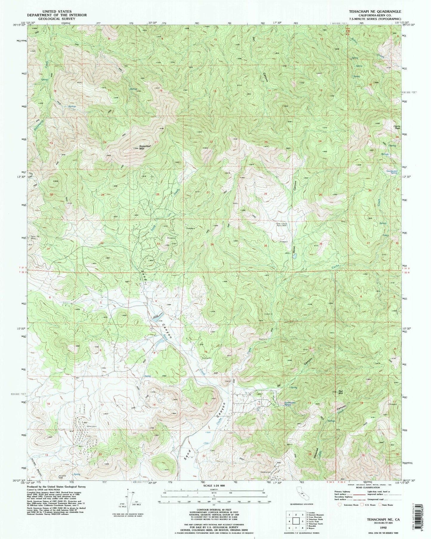
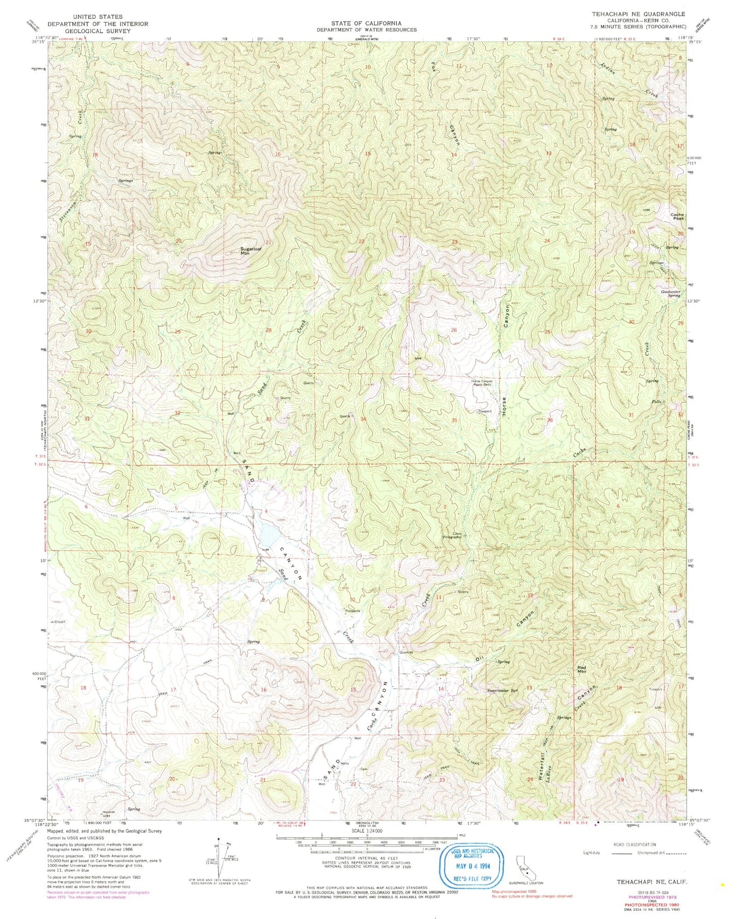
Historical USGS topographic quad map of Tehachapi NE in the state of California. Map scale may vary for some years, but is generally around 1:24,000. Print size is approximately 24" x 27"
This quadrangle is in the following counties: Kern.
The map contains contour lines, roads, rivers, towns, and lakes. Printed on high-quality waterproof paper with UV fade-resistant inks, and shipped rolled.
Contains the following named places: Cache Peak, Goodwater Spring, Horse Canyon, Horse Canyon Agate Beds, Oil Canyon, Red Mountain, Sand Canyon Volunteer Fire Department, Sand Creek, Sugarloaf Mountain, Sweetwater Spring, Tomo-Kahni State Historic Park