MyTopo
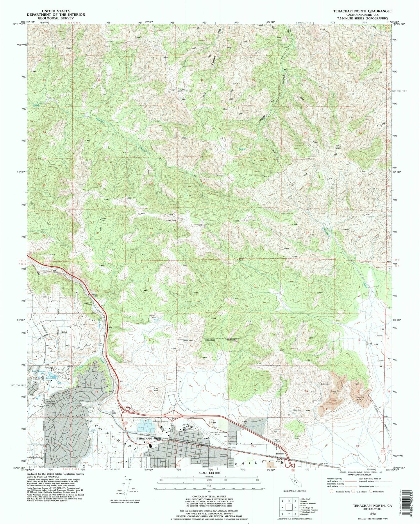
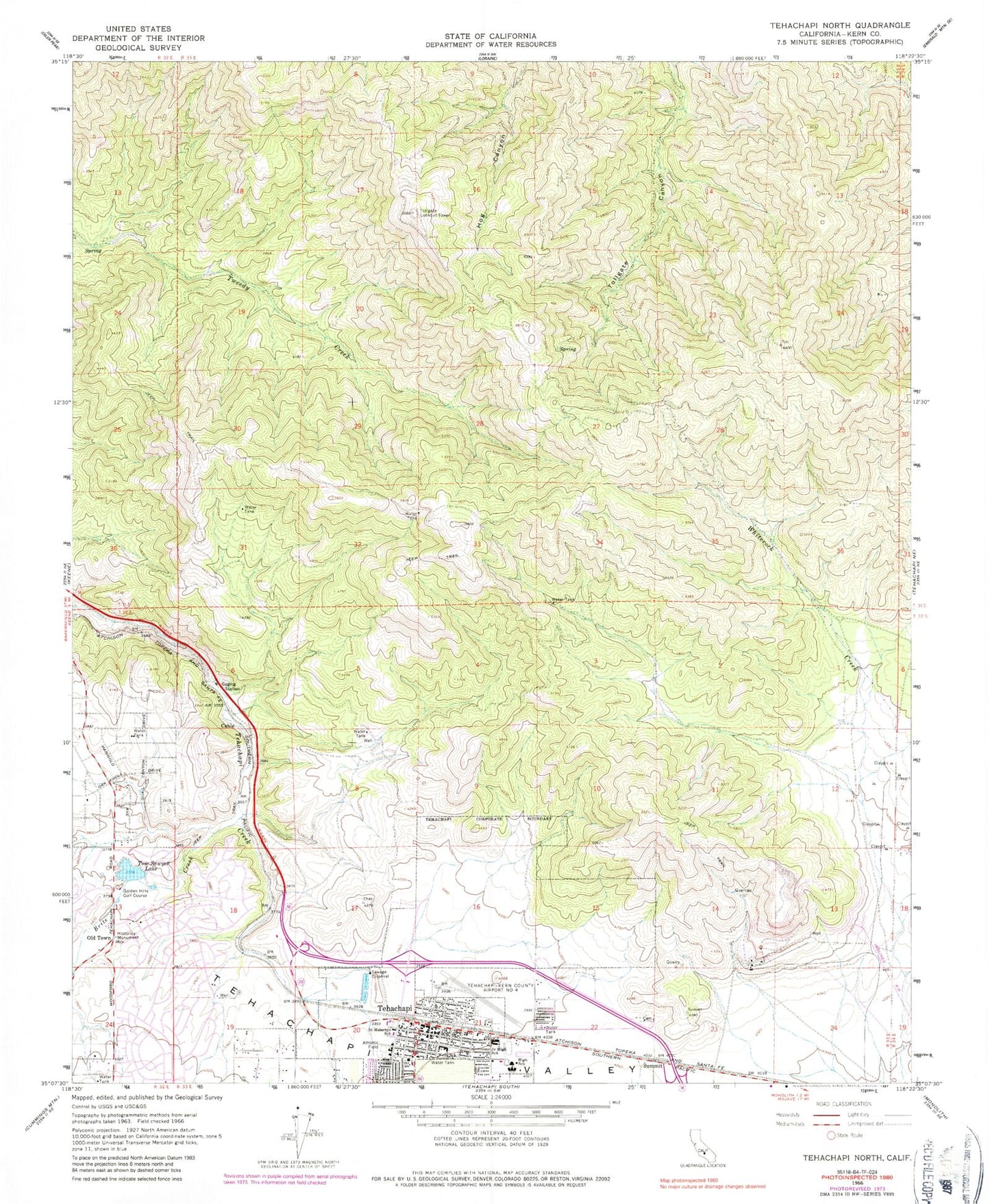
Classic USGS Tehachapi North California 7.5'x7.5' Topo Map
Couldn't load pickup availability
Historical USGS topographic quad map of Tehachapi North in the state of California. Map scale may vary for some years, but is generally around 1:24,000. Print size is approximately 24" x 27"
This quadrangle is in the following counties: Kern.
The map contains contour lines, roads, rivers, towns, and lakes. Printed on high-quality waterproof paper with UV fade-resistant inks, and shipped rolled.
Contains the following named places: Adventist Health Tehachapi Valley, Apostolic Faith Church, Brite Creek, Cable, Church of Christ, City of Tehachapi, College of the Tehachapis, Community United Church of Christ, Golden Hills, Golden Hills Census Designated Place, Golden Hills Elementary School, Golden Hills Golf Course, Good Shepherd Lutheran Church, Hall Ranch, Jacobsen Junior High School, Kern County Sheriff's Office Tehachapi Station, Kingdom Hall of Jehovahs Witnesses, Meadowbrook Farm, Meadowood Park, Mision Asamblea de Dios, Monroe Continuation High School, Old Town, Old Town State Historic Landmark, Saint Malachys Catholic Church, Saint Malachys School, Sullivan, Summit, Summit High School, Tehachapi, Tehachapi Branch Kern County Library, Tehachapi City Hall, Tehachapi City Park, Tehachapi Eastside Cemetery, Tehachapi High School, Tehachapi Municipal Airport, Tehachapi Police Department, Tehachapi Post Office, Tehachapi Seventh Day Adventist Church, Tehachapi Valley United Methodist Church, The Kings Gathering Church, Tollgate Lookout Tower, Tom Sawyer Lake, Wells Elementary School, West Park, Whiterock Creek


