MyTopo
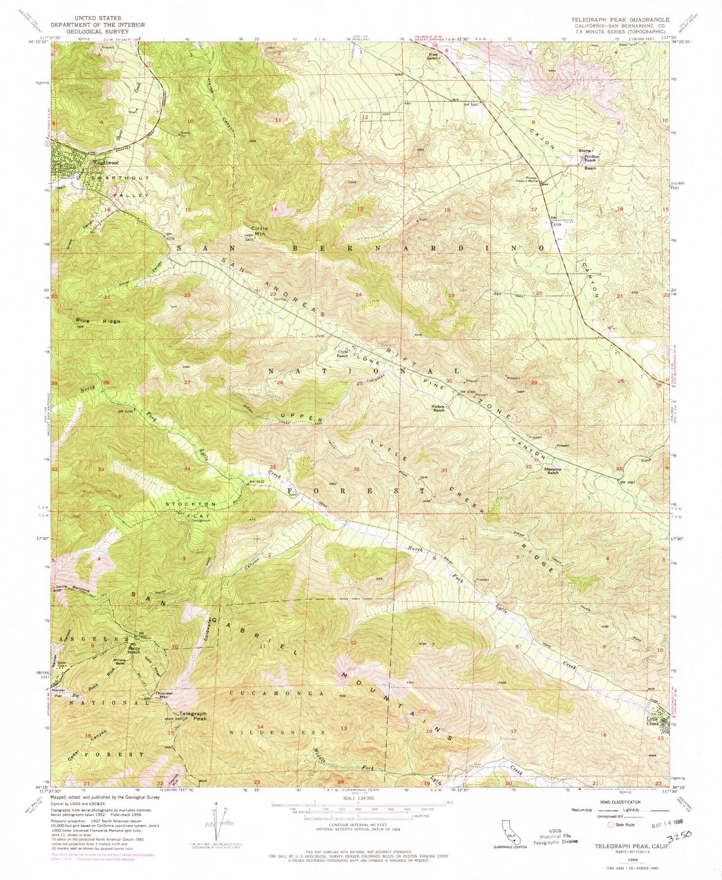
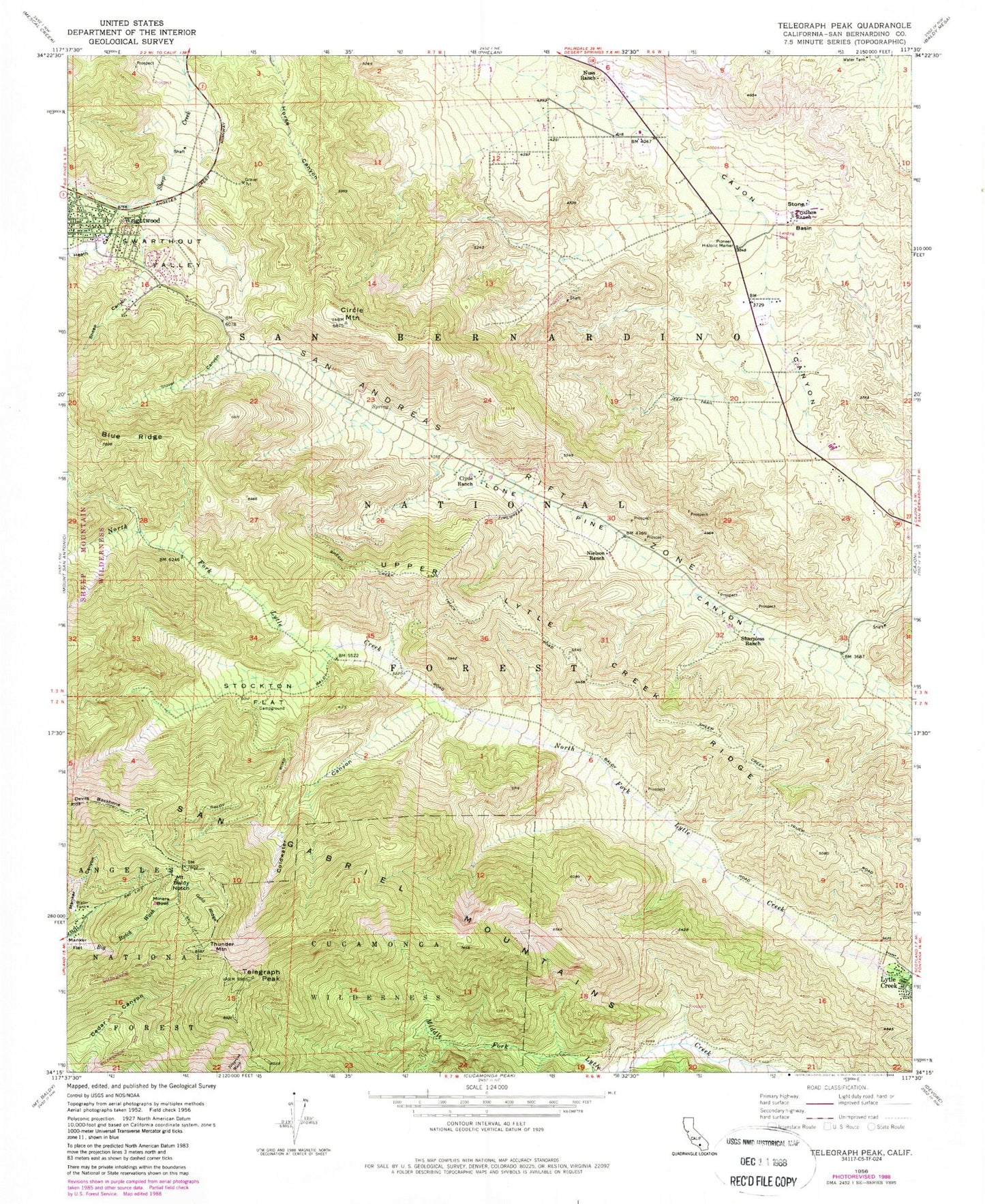
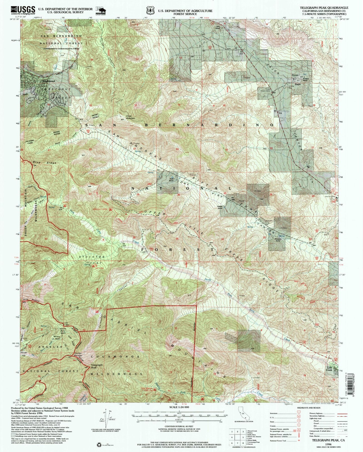
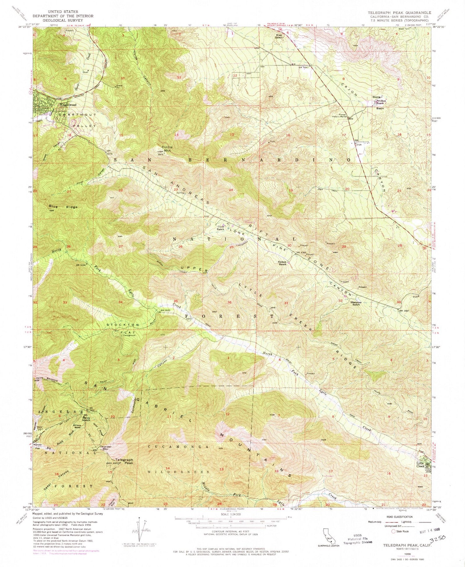
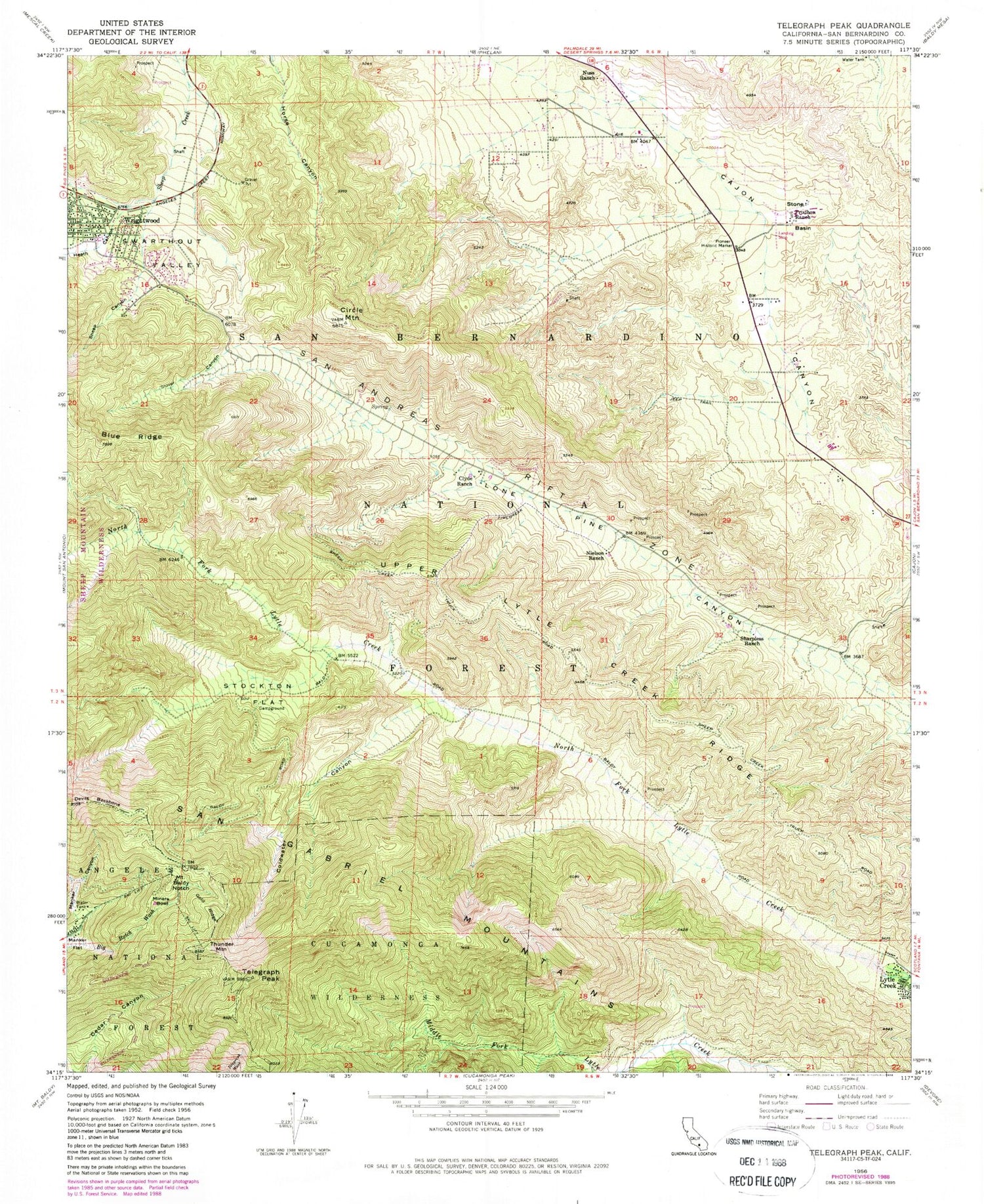
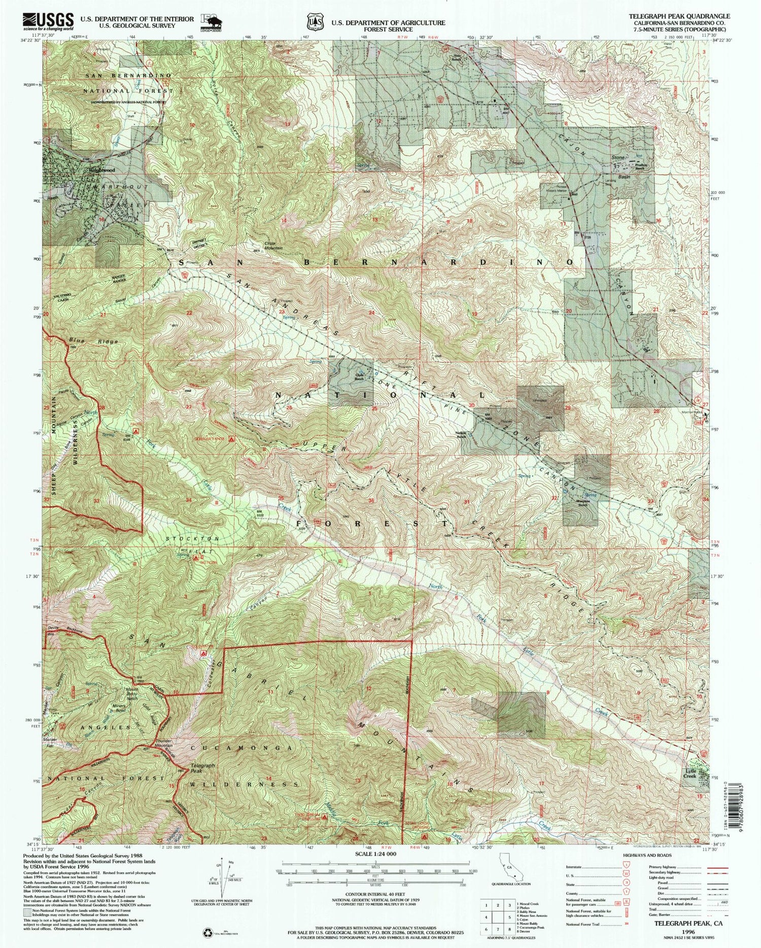
USGS Classic Telegraph Peak California 7.5'x7.5' Topo Map
Couldn't load pickup availability
Historical USGS topographic quad map of Telegraph Peak in the state of California. Scale: 1:24000. Print size: 24" x 27"
This quadrangle is in the following counties: San Bernardino.
The map contains contour lines, roads, rivers, towns, lakes, and grids including latitude / longitude and UTM / MGRS. Printed on high-quality waterproof paper with UV fade-resistant inks.
Contains the following named places: Clyde Ranch, Coldwater Canyon, Gold Ridge, Heath Canyon, Manker Canyon, Miners Bowl, Mount Baldy Notch, Nielson Ranch, Nuss Ranch, Pioneer Historic Marker, Prudhon Ranch, Sharpless Ranch, Sheep Canyon, Stockton Flat, Stone Basin, Telegraph Peak, Upper Lytle Creek Ridge, Slover Canyon, Swarthout Valley, Thunder Mountain, Baldy Mesa, Big Horn Campground, Mormon Rocks Forest Service Station, Pauite Campground, Horse Target Shooting Area, Stone House Crossing Campground, Coldwater Campground, Dog Bone Canyon, Lytle Creek, Mount Baldy-Wrightwood Division
