MyTopo
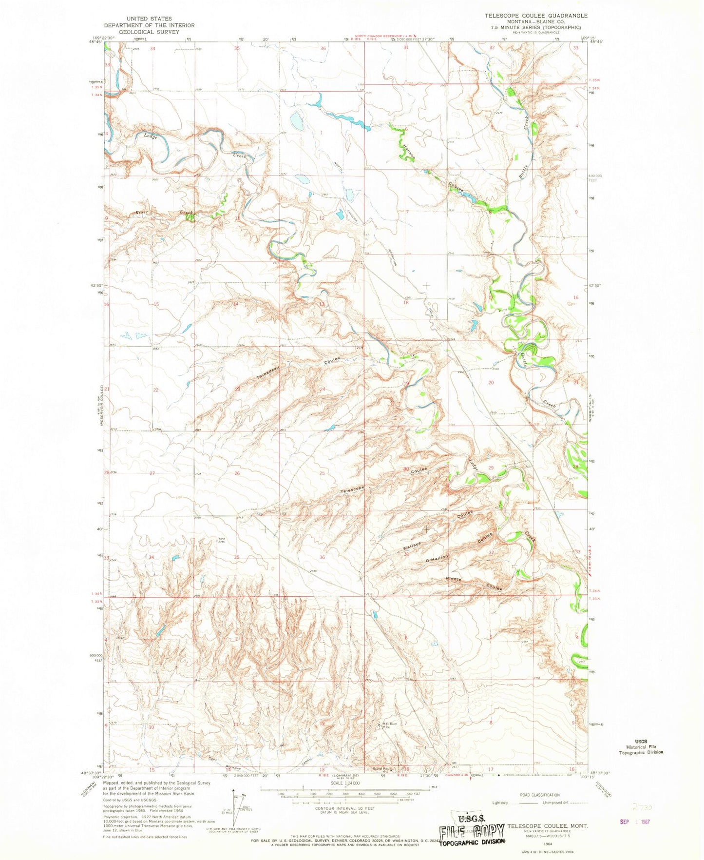
Classic USGS Telescope Coulee Montana 7.5'x7.5' Topo Map
Regular price
$16.95
Regular price
Sale price
$16.95
Unit price
per
Couldn't load pickup availability
Historical USGS topographic quad map of Telescope Coulee in the state of Montana. Map scale may vary for some years, but is generally around 1:24,000. Print size is approximately 24" x 27"
This quadrangle is in the following counties: Blaine.
The map contains contour lines, roads, rivers, towns, and lakes. Printed on high-quality waterproof paper with UV fade-resistant inks, and shipped rolled.
Contains the following named places: Elias Number 1 Dam, Hanson Coulee, Milk River Mine, Milk River Mine School, North Chinook Irrigation Canal, O'Hanlon Coulee, Pleasant View School, Reser Creek, Riddle Coulee, Skoyen Dam, Telescope Coulee, Thibadeau Coulee, Wallace Coulee