MyTopo
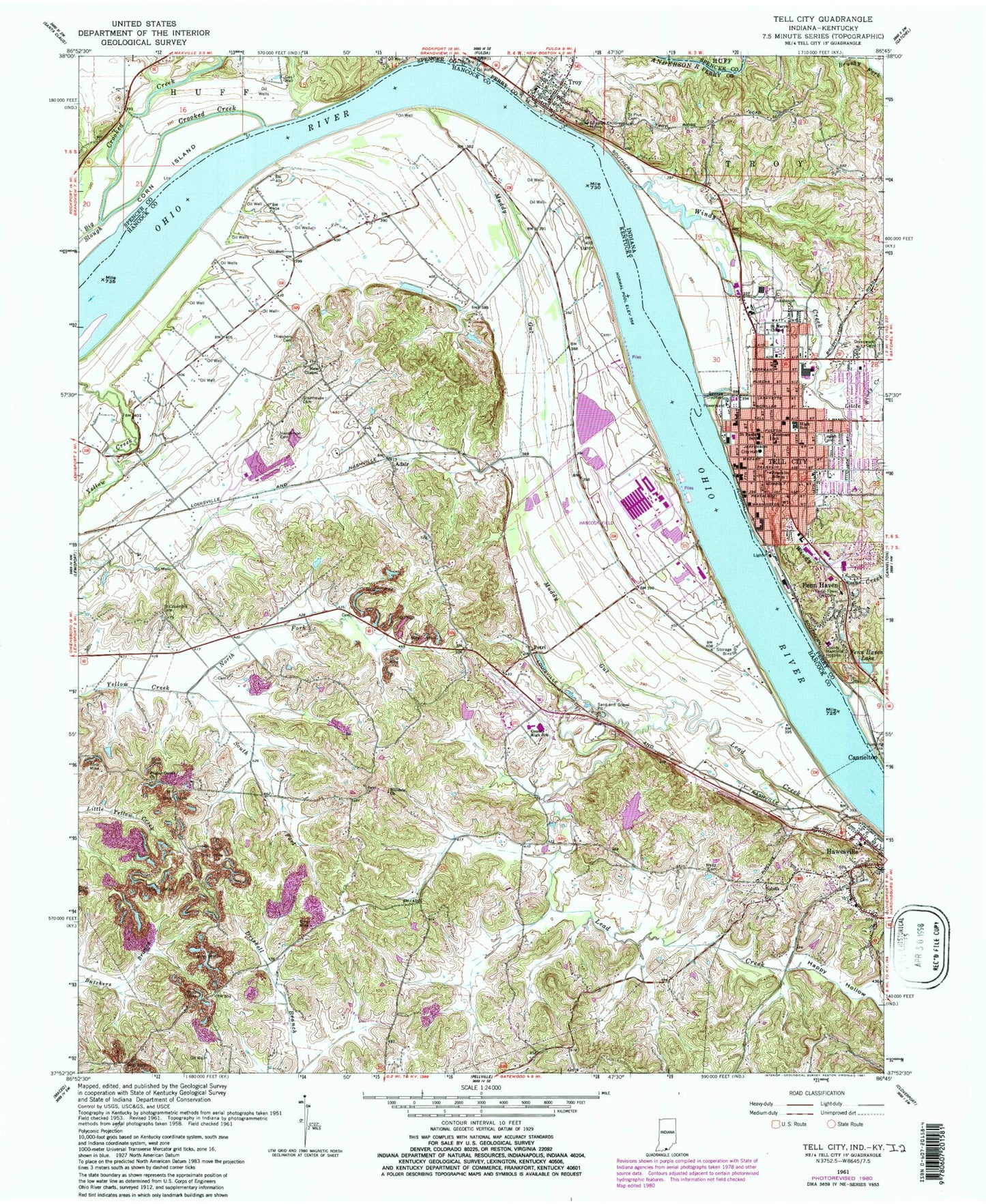
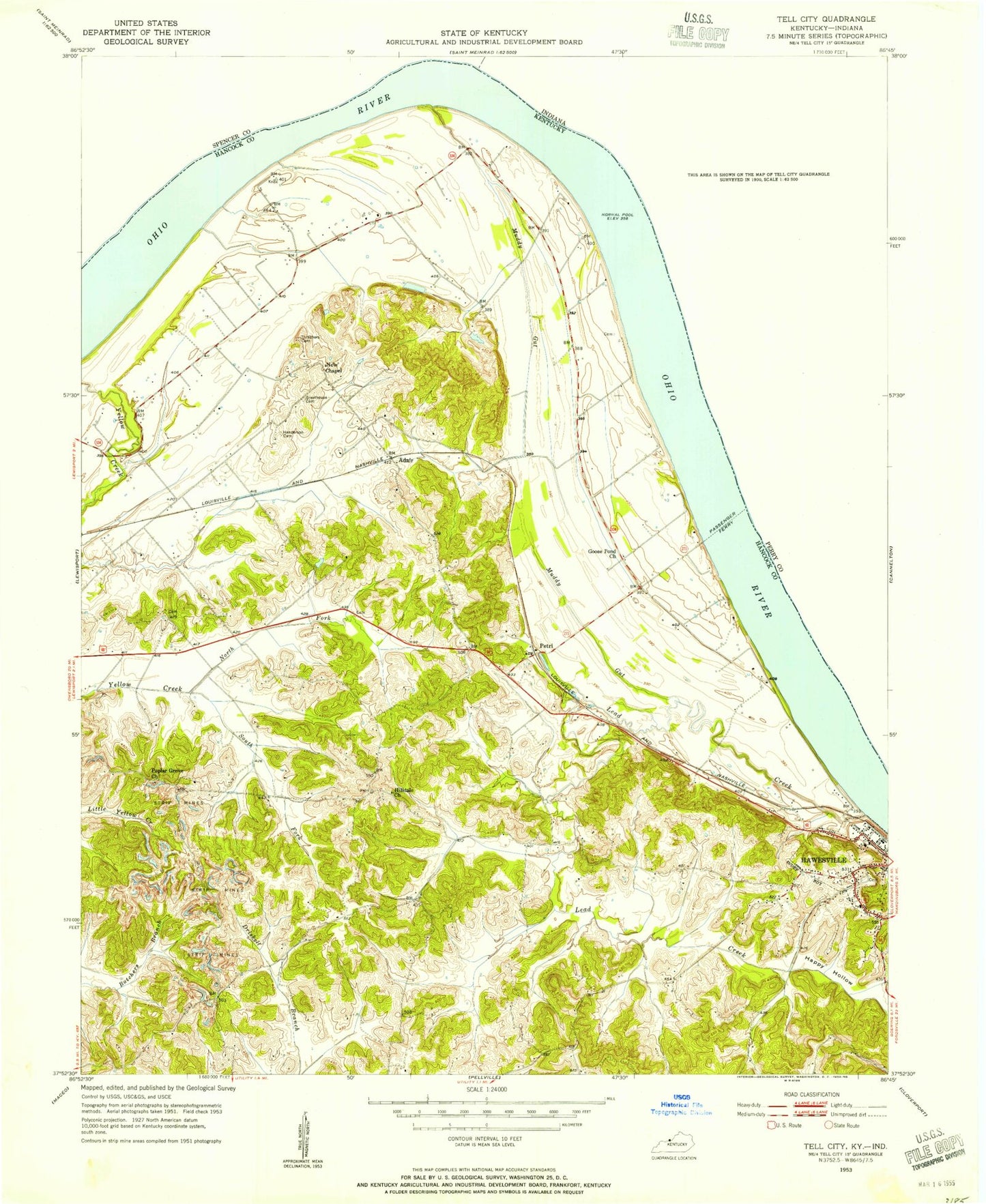
Classic USGS Tell City Indiana 7.5'x7.5' Topo Map
Couldn't load pickup availability
Historical USGS topographic quad map of Tell City in the states of Indiana, Kentucky. Map scale may vary for some years, but is generally around 1:24,000. Print size is approximately 24" x 27"
This quadrangle is in the following counties: Hancock, Perry, Spencer.
The map contains contour lines, roads, rivers, towns, and lakes. Printed on high-quality waterproof paper with UV fade-resistant inks, and shipped rolled.
Contains the following named places: Adair, Anderson River, City of Hawesville, City of Tell City, Crooked Creek, Fenn Haven, Fenn Haven Lake, Franklin School, Greathouse Cemetery, Greenwood Cemetery, Hancock Airfield, Hancock County Airport-Ron Lewis Field, Happy Hollow, Hawesville, Hawesville City Police Department, Hawesville Fire Department, Henderson Cemetery, Hilldale United Methodist Church, Lamar Field Airport, Lead Creek, Legion Field, Lewisport Division, Little Windy Creek, Mount Calvary Cemetery, Muddy Gut, New Chapel, Newman Elementary School, North Yellow Creek Fork, Perry County Sheriff's Office, Petri, Poplar Grove Church, Saint Columbia Cemetery, Saint Marys Chapel, Saint Paul Elementary School, Saint Pius Cemetery, South Yellow Creek Fork, Tell City, Tell City Fire Department, Tell City High School, Tell City Police Department, Tell City Post Office, Tell City Volunteer Fire Department, Thrashers Cemetery, Troy, Troy Bend, Troy Fire Department, Troy Post Office, Windy Creek, WKCM-AM (Hawesville), WTCJ-AM (Tell City), ZIP Code: 42351