MyTopo
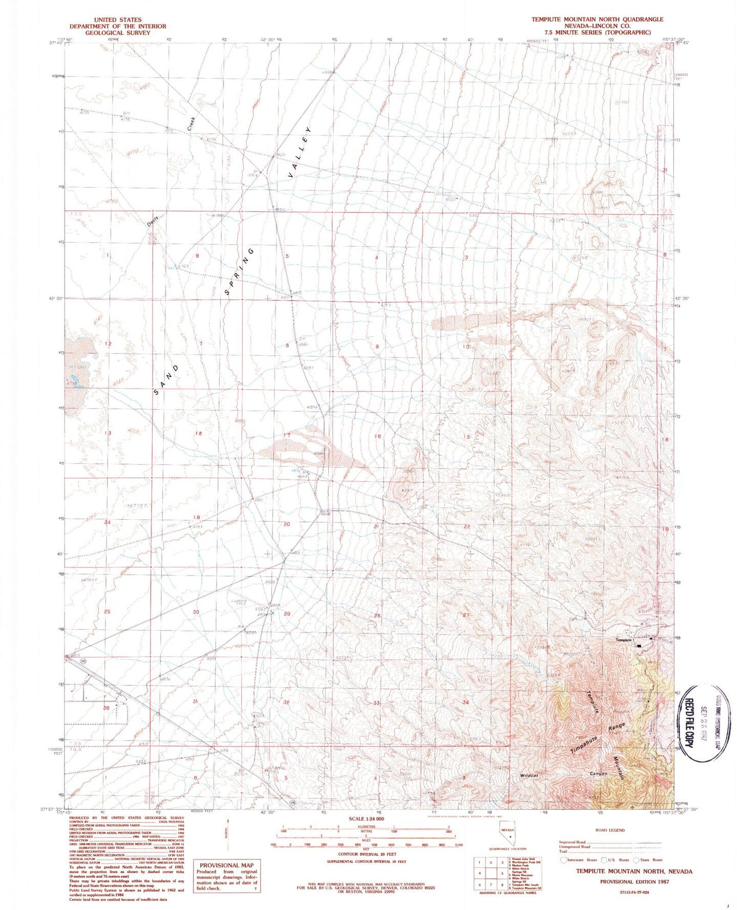
Classic USGS Tempiute Mountain North Nevada 7.5'x7.5' Topo Map
Regular price
$16.95
Regular price
Sale price
$16.95
Unit price
per
Couldn't load pickup availability
Historical USGS topographic quad map of Tempiute Mountain North in the state of Nevada. Map scale may vary for some years, but is generally around 1:24,000. Print size is approximately 24" x 27"
This quadrangle is in the following counties: Lincoln.
The map contains contour lines, roads, rivers, towns, and lakes. Printed on high-quality waterproof paper with UV fade-resistant inks, and shipped rolled.
Contains the following named places: Buttes Spring, Lincoln Mine, Lincoln Mine PIBAL Station, Rachel, Schofield Mine, Tem Piute Mining District, Tem Piute Spring, Tempiute, Tempiute Post Office, Tempiute Tailings Dam, Timpahute Well, Y-Z Mine