MyTopo
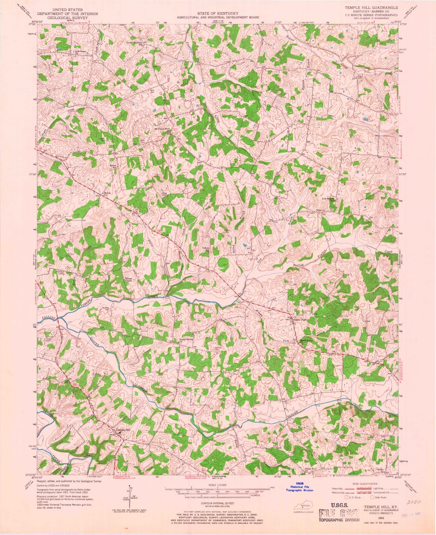
Classic USGS Temple Hill Kentucky 7.5'x7.5' Topo Map
Couldn't load pickup availability
Historical USGS topographic quad map of Temple Hill in the state of Kentucky. Map scale may vary for some years, but is generally around 1:24,000. Print size is approximately 24" x 27"
This quadrangle is in the following counties: Barren.
The map contains contour lines, roads, rivers, towns, and lakes. Printed on high-quality waterproof paper with UV fade-resistant inks, and shipped rolled.
Contains the following named places: Bailey Branch, Beech Grove Church, Bethel Church, Bowles Branch, Bowles Cemetery Number 3, Brushy Fork, Buckley Cemetery, Creek Side Landing, East Barren Fire Department, Eastern School, Eighty Eight, Elbow Spring Creek, Glover Creek, Happy Hollow Branch, Kino, Lick Branch, Lick Branch Church, Matthews - Barbour Cemetery, Mount Union Number 5 Church, New Salem Church, Peden Cemetery, Peers Cemetery, Pierce Creek, Poplar Spring Church, Raccoon Branch, Temple Hill, Temple Hill Division, Temple Hill Fire Department, Union Number 2 Church, Whites Chapel, ZIP Code: 42130


