MyTopo
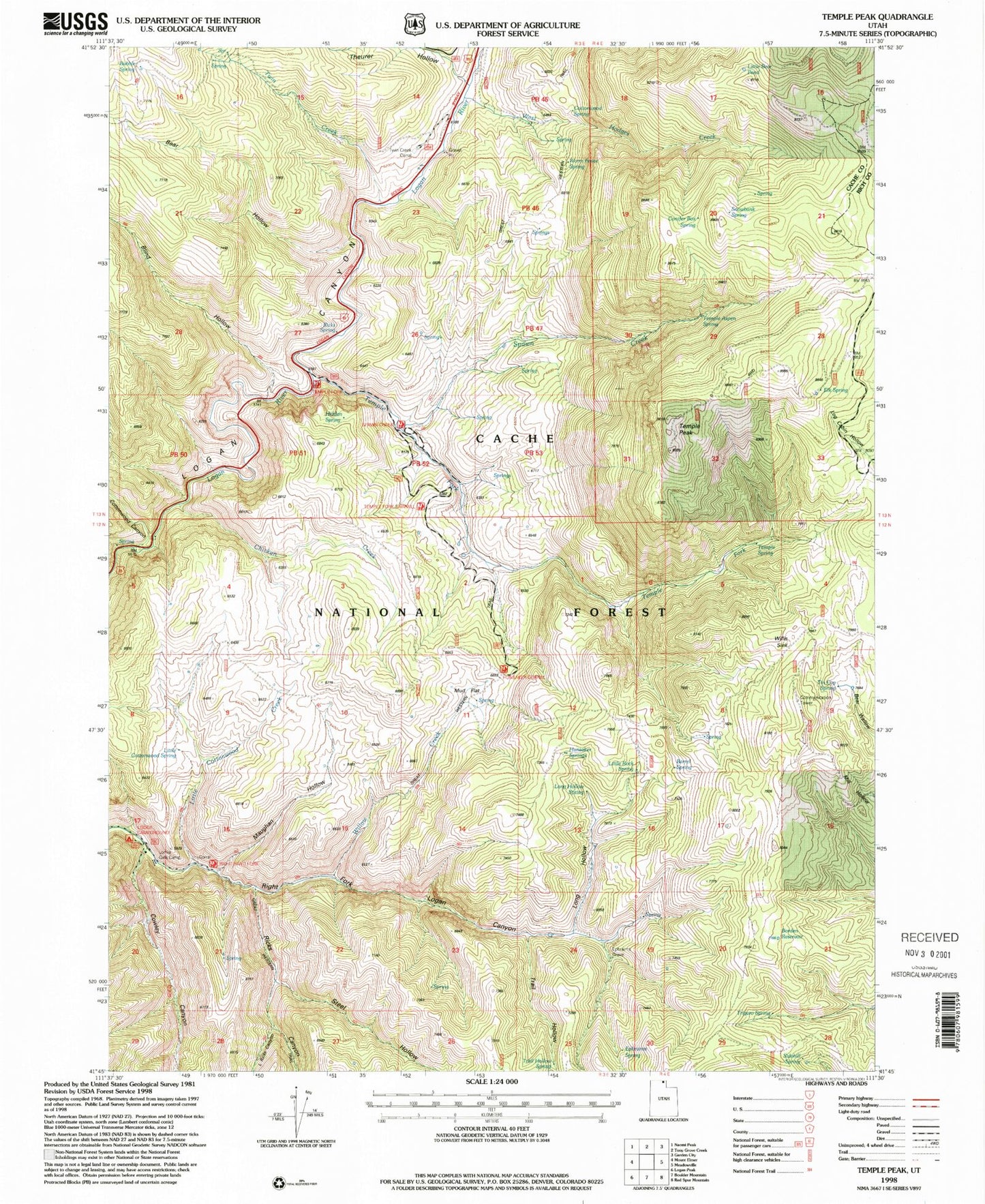
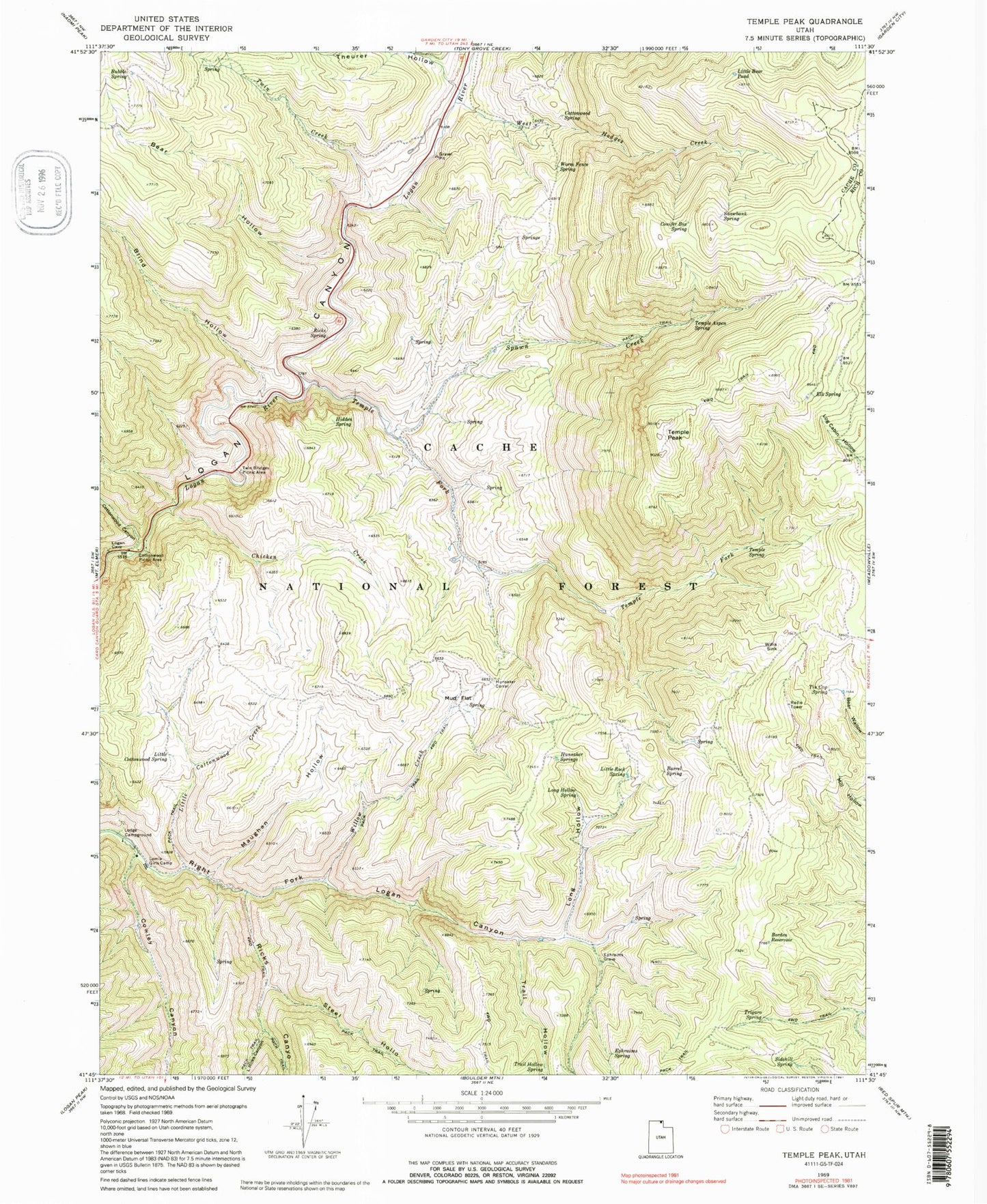
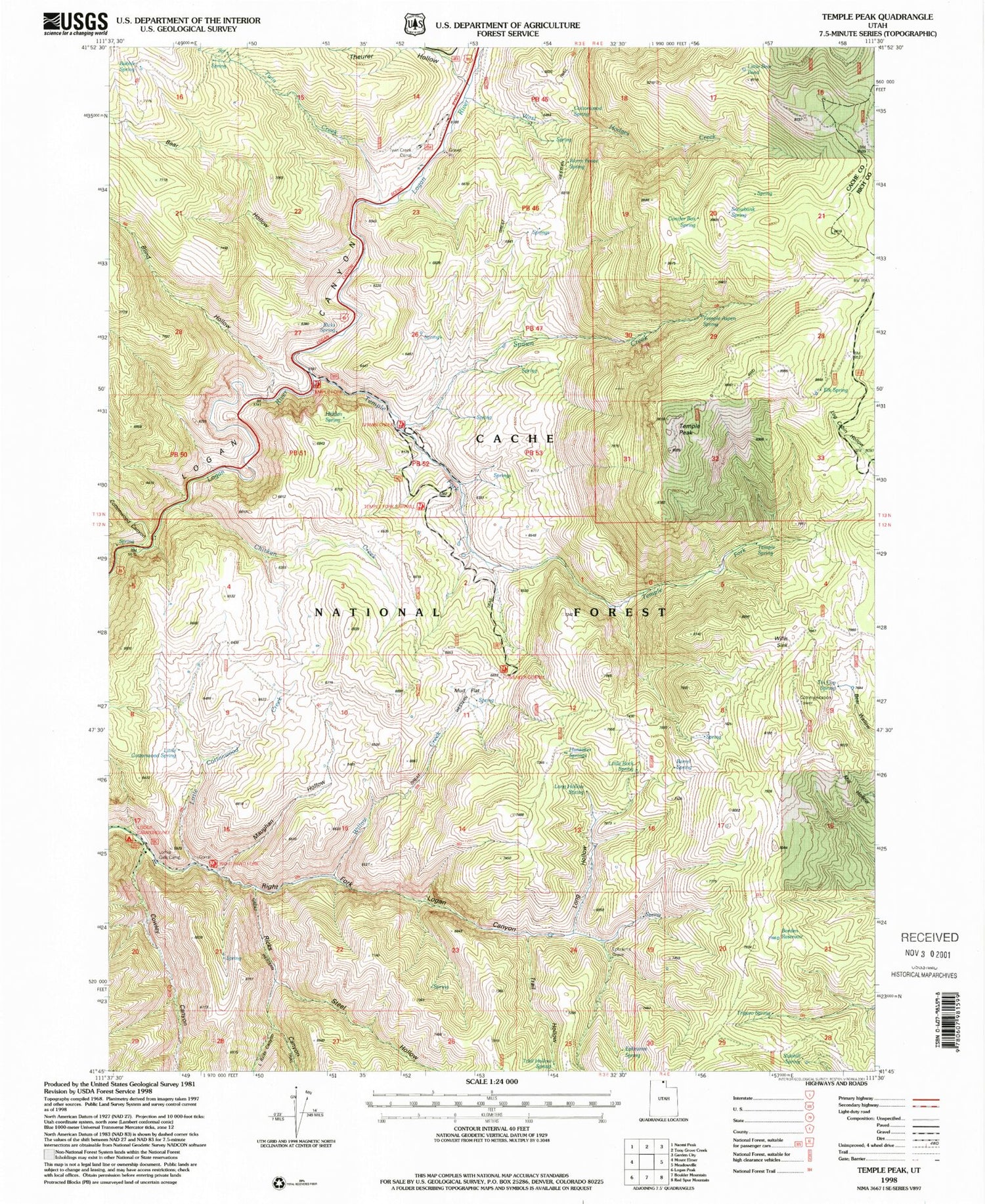
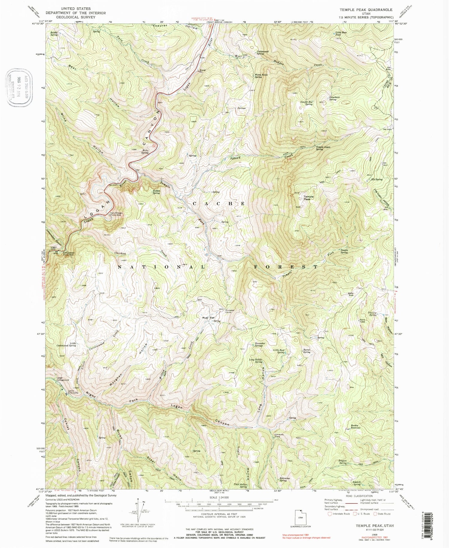
Classic USGS Temple Peak Utah 7.5'x7.5' Topo Map
Couldn't load pickup availability
Historical USGS topographic quad map of Temple Peak in the state of Utah. Typical map scale is 1:24,000, but may vary for certain years, if available. Print size: 24" x 27"
This quadrangle is in the following counties: Cache, Rich.
The map contains contour lines, roads, rivers, towns, and lakes. Printed on high-quality waterproof paper with UV fade-resistant inks, and shipped rolled.
Contains the following named places: Temple Spring, Barrel Spring, Bear Hollow, Blind Hollow, Borden Reservoir, Bubble Spring, Chicken Creek, Conifer Box Spring, Cottonwood Canyon, Cottonwood Picnic Area, Cottonwood Spring, Cowley Canyon, Elk Spring, Ephraims Grave, Ephraims Spring, Hidden Spring, Hunsaker Corral, Hunsaker Springs, Little Bear Pond, Little Cottonwood Creek, Little Cottonwood Spring, Little Ricks Canyon, Little Rock Spring, Lodge Campground, Lomia Girls Camp, Long Hollow, Long Hollow Spring, Maughan Hollow, Mud Flat, Ricks Canyon, Ricks Spring, Sidehill Spring, Snowbank Spring, Spawn Creek, Steel Hollow, Temple Aspen Spring, Temple Fork, Temple Peak, Theurer Hollow, Tin Cup Spring, Trail Hollow, Trail Hollow Spring, Trigaro Spring, Twin Bridges Picnic Area, Twin Creek, West Hodges Creek, Willis Sink, Willow Creek, Worm Fence Spring, Brachipad Summer Home Area, Twin Creek Corral, Brachipad Summer Home Area, Chicken Creek Guzzler, Spawn Creek Guzzler


