MyTopo
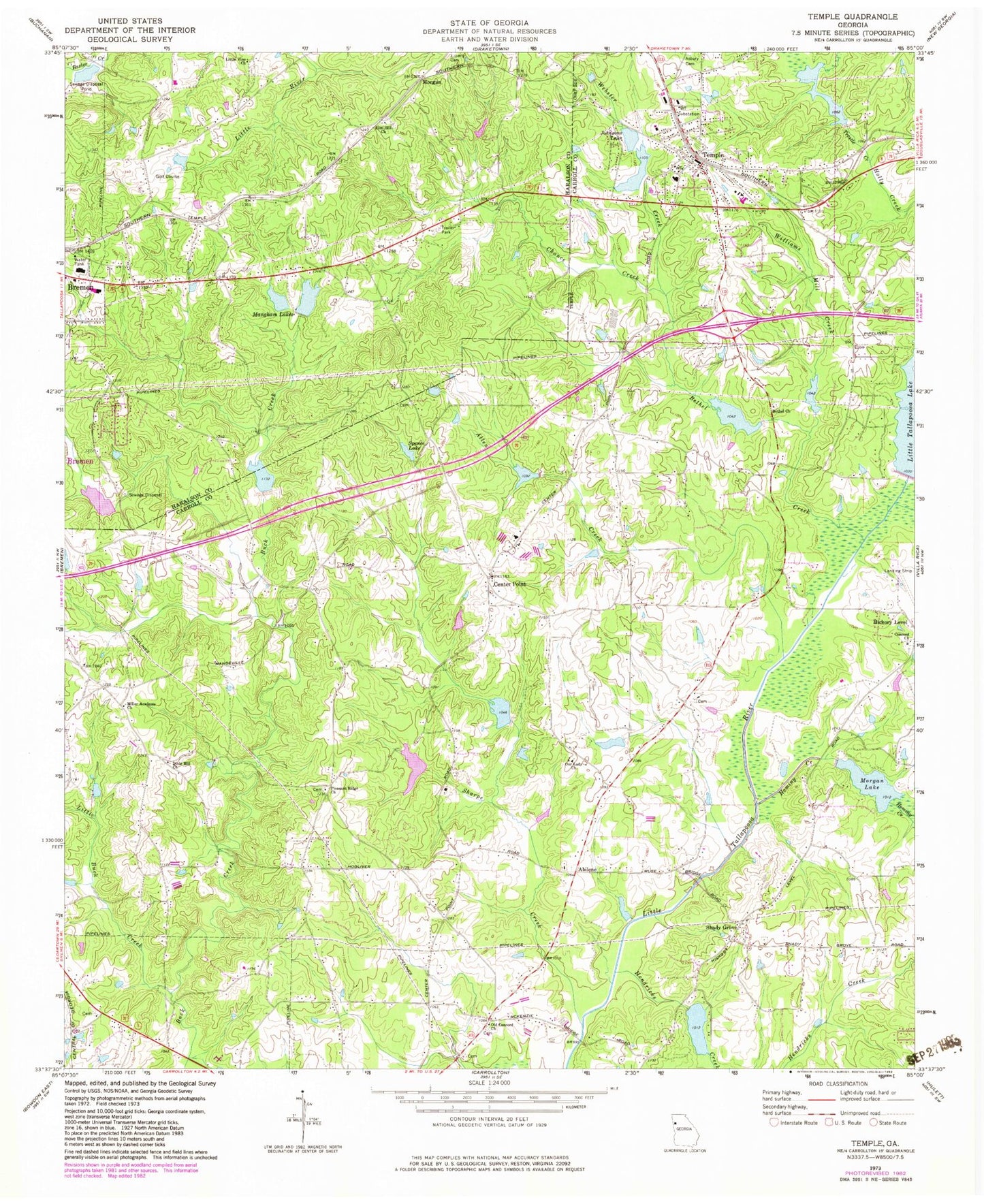
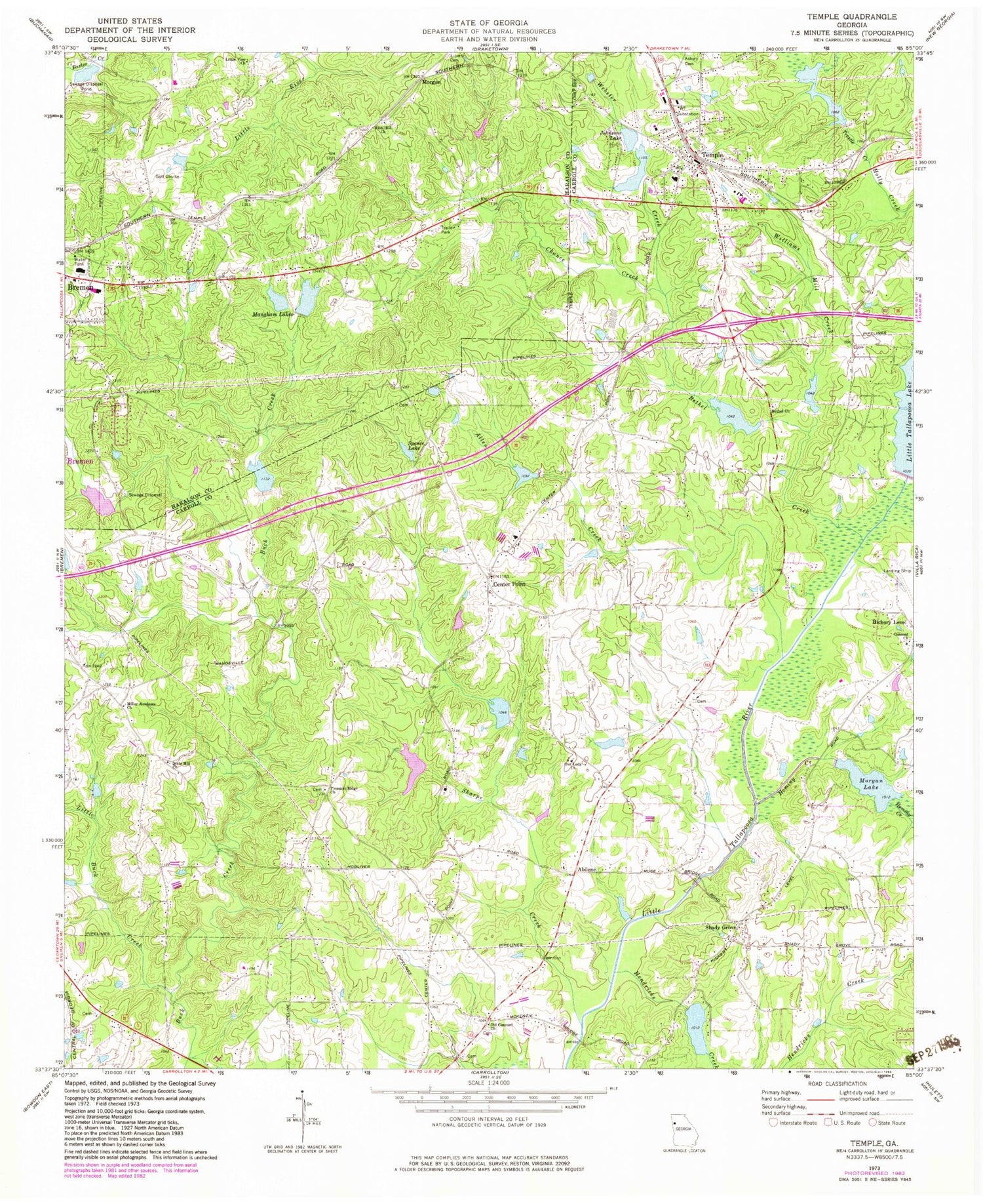
Classic USGS Temple Georgia 7.5'x7.5' Topo Map
Couldn't load pickup availability
Historical USGS topographic quad map of Temple in the state of Georgia. Map scale may vary for some years, but is generally around 1:24,000. Print size is approximately 24" x 27"
This quadrangle is in the following counties: Carroll, Haralson.
The map contains contour lines, roads, rivers, towns, and lakes. Printed on high-quality waterproof paper with UV fade-resistant inks, and shipped rolled.
Contains the following named places: Abee Lake, Abilene, Abilene Cemetery, Allen Creek, Bethel Baptist Church, Bethel Cemetery, Bethel Creek, Bold Springs School, Bremen Academy, Bremen Middle School, Callaway Lake, Cantrell Lake, Carroll County Fire - Rescue Station 2, Carroll County Fire / Rescue Station 15, Center Point, Center Point Cemetery, Center Point Methodist Church, Chance Creek, Church of Christ, City of Temple, Coles Mill, Concord Cemetery, Concord Church, Concord Primitive Baptist Church Cemetery, County Line Cemetery, County Line Church, Dixie Hill Church, Easterwood Lake, First Baptist Church of Temple, Fullilove Dam, Fullilove Lake, Hamilton Lake, Hamilton Lake Dam, Haralson County Fire Department Station 10, Harmony Grove School, Hendricks Creek, Hollingsworth Lake, Hominy Creek, Humphries Lake, Johnsons Lake, Johnsons Lake Dam, Lake Buckhorn, Liberty Cemetery, Little Buck Creek, Little Tallapoosa River Watershed Six Dam, Little Tallapoosa Structure 13 Dam, Little Tallapoosa Structure 15 Dam, Little Tallapoosa Structure 16 Dam, Little Tallapoosa Structure 19 Dam, Little Tallapoosa Structure 20 Dam, Little Tallapoosa Structure 34 Dam, Little Tallapoosa Structure 36 Dam, Little Tallapoosa Structure Six Dam, Little Tallapoose Structure 30 Dam, Little Vine Church, Mangham Lake East, Mangham Lake East Dam, Mangham Lakes, McMullen Cemetery, Miller Academy, Miller Academy Church, Millers Academy Church, Milner Lake, Morgan, Morgan Lake, Old Bethel Church, Old Concord Church, Our Lady Church, Our Lady of Perpetual Help Cemetery, Pilgrim Church, Pine Grove School, Pleasant Ridge Cemetery, Pleasant Ridge Church, Reids Bridge, Riverside School, Shady Grove, Shady Grove Cemetery, Shady Grove Missionary Baptist Church, Sharp Creek Elementary School, Sharpe Creek, Smyrna Church, Smyrna School, Spears Lake, Spears Lake Dam, Spence Cemetery, Spence Lake, Stevens Lake, Temple, Temple Division, Temple Elementary School, Temple High School, Temple Middle School, Temple Police Dept, Temple Post Office, The Church at Carrollton, Trestle Creek, Turner Lake, Walnut School, Webster Creek, Williams Mill, Williams Mill Creek, Wilson Airstrip, Woodland Camp, Zion Hill Baptist Cemetery, Zion Hill Church


