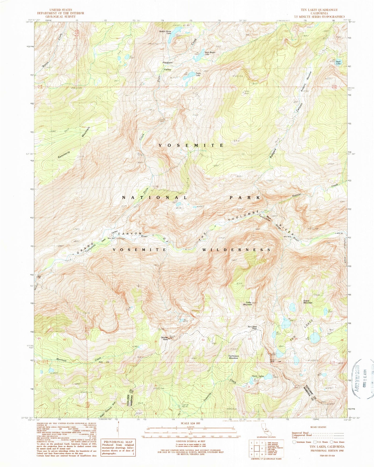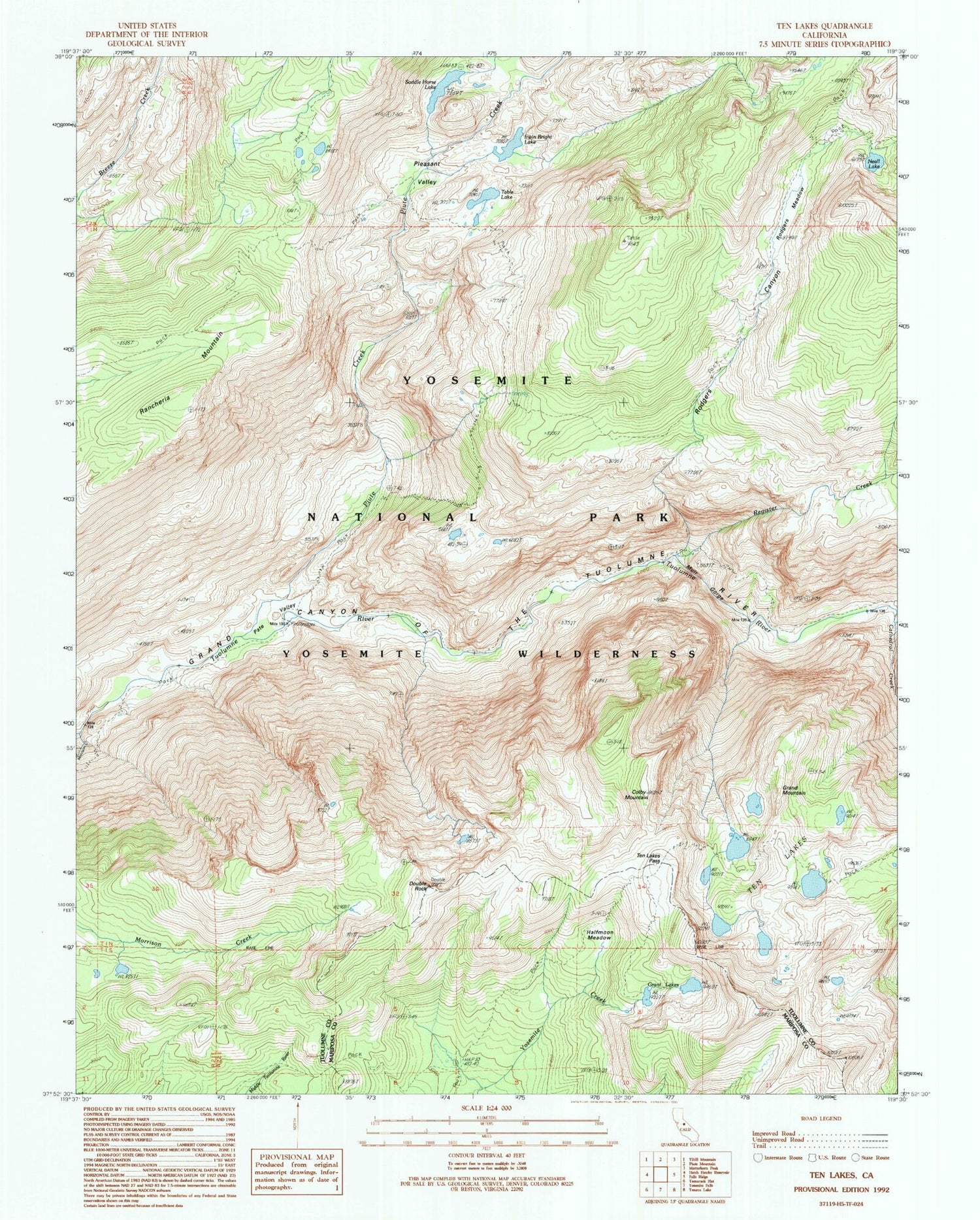
MyTopo
USGS Classic Ten Lakes California 7.5'x7.5' Topo Map
Couldn't load pickup availability
Historical USGS topographic quad map of Ten Lakes in the state of California. Scale: 1:24000. Print size: 24" x 27"
This quadrangle is in the following counties: Mariposa, Tuolumne.
The map contains contour lines, roads, rivers, towns, lakes, and grids including latitude / longitude and UTM / MGRS. Printed on high-quality waterproof paper with UV fade-resistant inks.
Contains the following named places: Halfmoon Meadow, Ten Lakes Pass, Cathedral Creek, Grand Mountain, Grant Lakes, Ten Lakes Trail, Double Rock, Pate Valley, Piute Creek, Saddle Horse Lake, Table Lake, Colby Mountain, Irwin Bright Lake, Muir Gorge, Neall Lake, Rancheria Mountain, Register Creek, Rodgers Canyon, Rodgers Meadow, Ten Lakes, Pleasant Valley