MyTopo
Classic USGS Ten O'Clock Gate Montana 7.5'x7.5' Topo Map
Regular price
$16.95
Regular price
Sale price
$16.95
Unit price
per
Couldn't load pickup availability
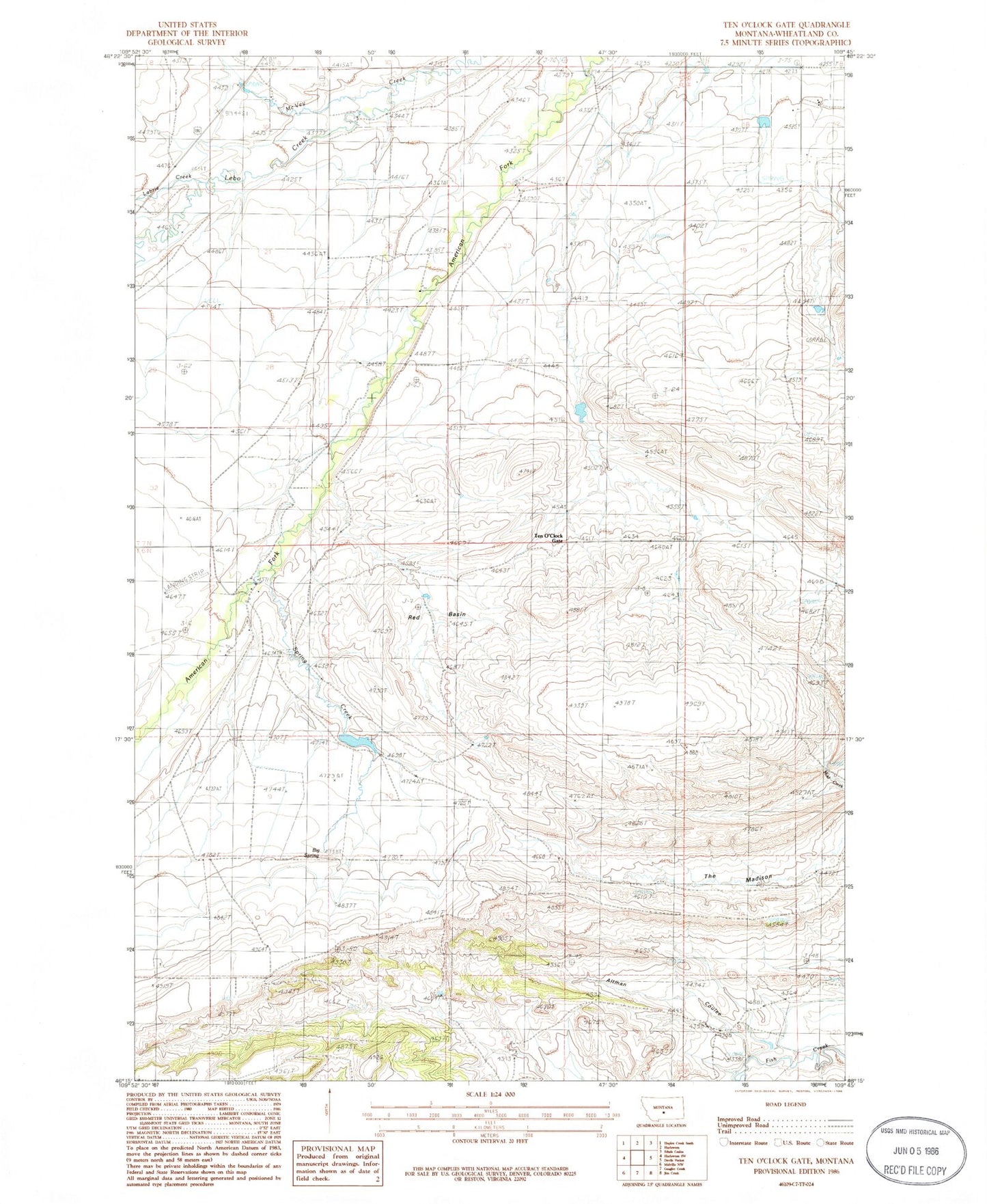
Historical USGS topographic quad map of Ten O'Clock Gate in the state of Montana. Map scale may vary for some years, but is generally around 1:24,000. Print size is approximately 24" x 27"
This quadrangle is in the following counties: Wheatland.
The map contains contour lines, roads, rivers, towns, and lakes. Printed on high-quality waterproof paper with UV fade-resistant inks, and shipped rolled.
Contains the following named places: 07N15E32____01 Well, 08N15E35BDDD01 Well, Altman Coulee, Baxter Strip, Big Spring, Cinnamon Number 1 Dam, Cinnamon Number 3 Dam, Cinnamon Number 4 Dam, Labrie Creek, McVey Creek, Red Basin, Spring Creek, Ten O'Clock Gate, The Madison