MyTopo
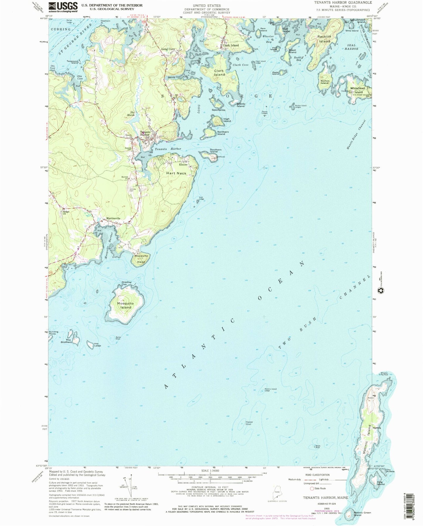
Classic USGS Tenants Harbor Maine 7.5'x7.5' Topo Map
Couldn't load pickup availability
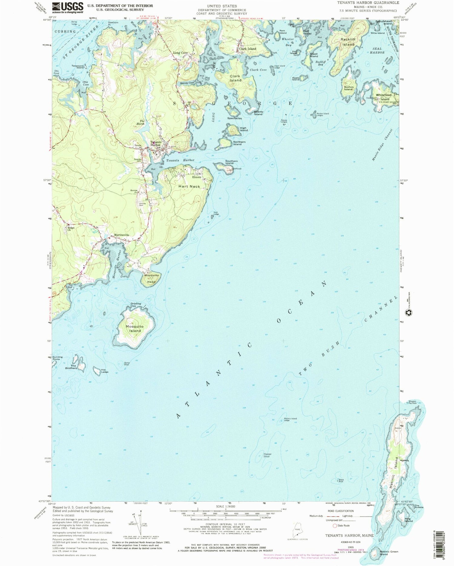
Historical USGS topographic quad map of Tenants Harbor in the state of Maine. Map scale may vary for some years, but is generally around 1:24,000. Print size is approximately 24" x 27"
This quadrangle is in the following counties: Knox.
The map contains contour lines, roads, rivers, towns, and lakes. Printed on high-quality waterproof paper with UV fade-resistant inks, and shipped rolled.
Contains the following named places: Bailey Ledge, Barter Shoal, Black Rock, Calf Island, Clark Cove, Clark Hill Cemetery, Clark Island, Clark Island Ledge, Clark Point, Drinking Cove, Eagle Island, Elmore, Elwell Island, Elwell Point, Gunning Rock Shoal, Gunning Rocks, Hart Ledge, Hart Neck, Hawthorn Point, Hay Ledge, Hen Island, High Island, Hupper Shoal, Jackson Memorial Library, Long Cove, Long Ledge, Martinsville, Metinic Island, Metinic Island Ledge, Mosquito Harbor, Mosquito Head, Mosquito Island, Mosquito Ledge, Northern Island, Norton Island, Norton Island Ledges, Otis Cove, Otis Point, Rackliff Bay, Rackliff Island, Ram Island, Ridge Church, S O J Schoolhouse, Saint George Harbor, Saint George School, Saint George Volunteer Fire Department, Saint George Volunteer Fire Station Port Clyde, Seal Harbor, Seaside Cemetery, Seavey Cove, Seavey Island, Seavey Ledges, Slins Island, South Parish Cemetery, Southern Island, Spectacles, Tenants Harbor, Tenants Harbor Lighthouse, Tenants Harbor Post Office, Tenpound Island, The Brothers, The Marsh, Town of Saint George, Watts Cove, Wheeler Bay, Whitehead Island, Whitehead Lifesaving Station, ZIP Codes: 04859, 04860


