MyTopo
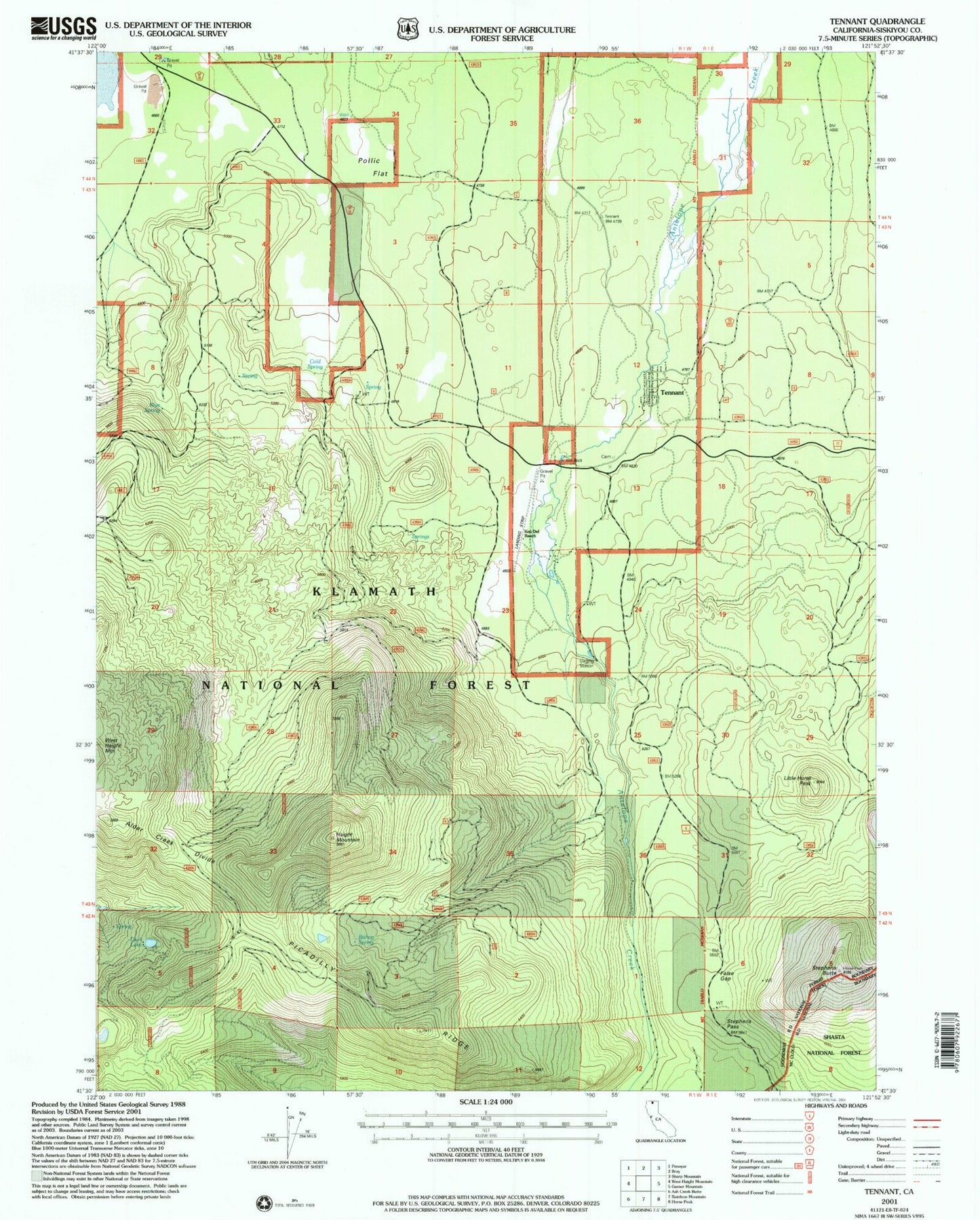
Classic USGS Tennant California 7.5'x7.5' Topo Map
Couldn't load pickup availability
Historical USGS topographic quad map of Tennant in the state of California. Map scale may vary for some years, but is generally around 1:24,000. Print size is approximately 24" x 27"
This quadrangle is in the following counties: Siskiyou.
The map contains contour lines, roads, rivers, towns, and lakes. Printed on high-quality waterproof paper with UV fade-resistant inks, and shipped rolled.
Contains the following named places: Bishop Spring, Blue Spring, Cold Spring, Duck Lake, False Gap, Haight Mountain, Little Horse Peak, Picadilly Ridge, Pollock Flat, Stephens Butte, Stephens Pass, Tennant, Tennant Campground, Tennant Cemetery, Tennant Census Designated Place, Tennant Fire Department, Tennant Forest Service Station