MyTopo
Classic USGS Tent Hills California 7.5'x7.5' Topo Map
Regular price
$16.95
Regular price
Sale price
$16.95
Unit price
per
Couldn't load pickup availability
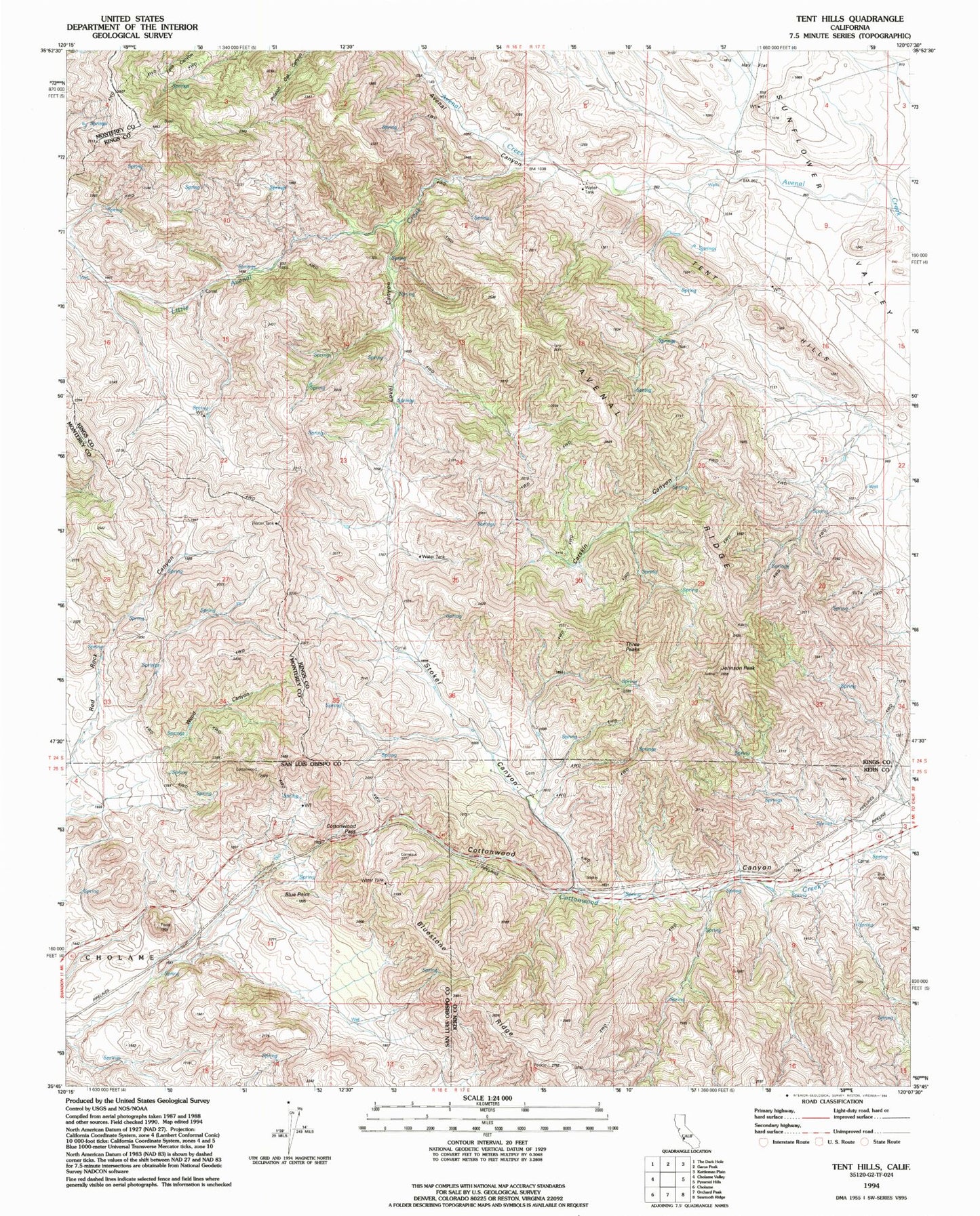
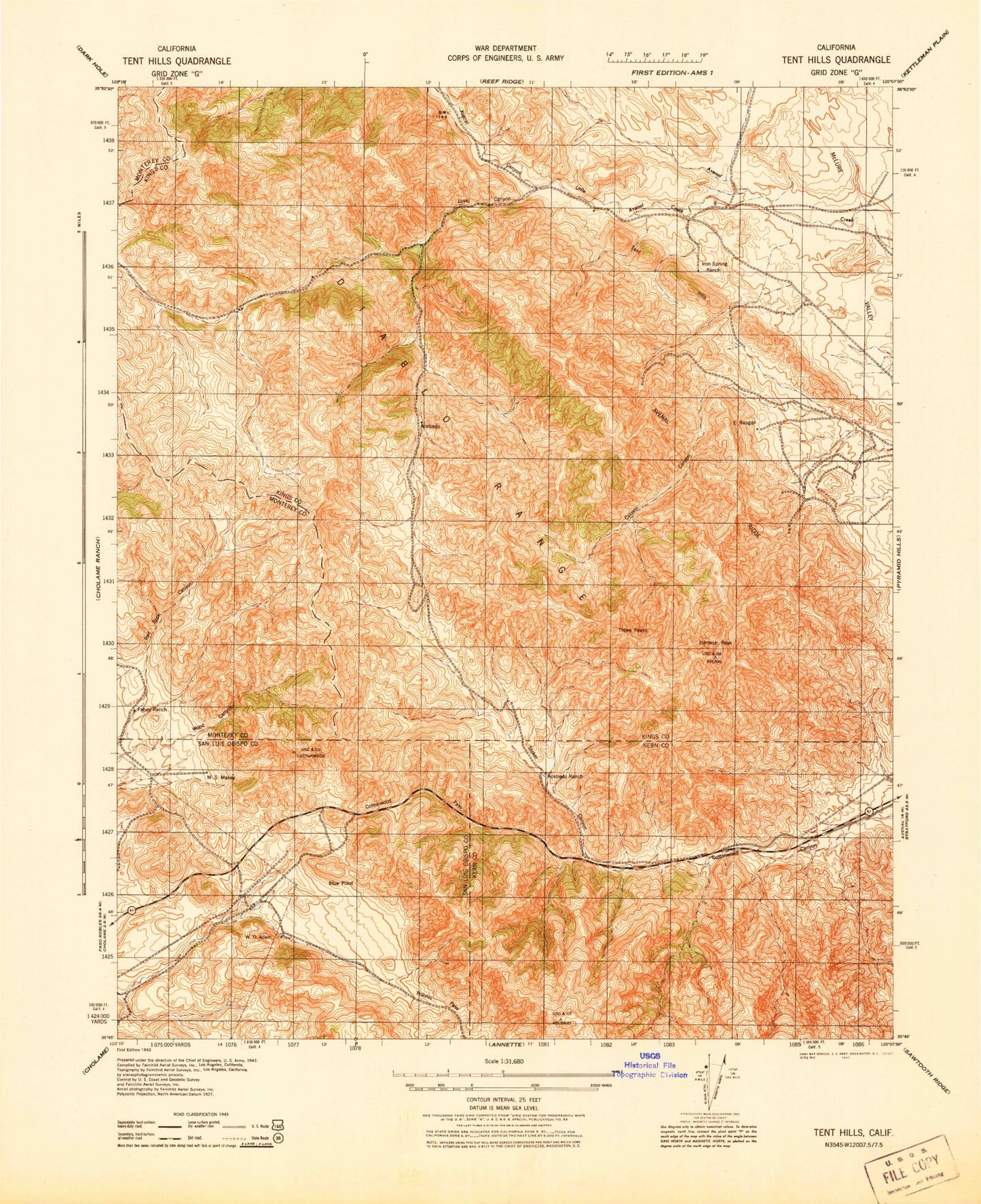
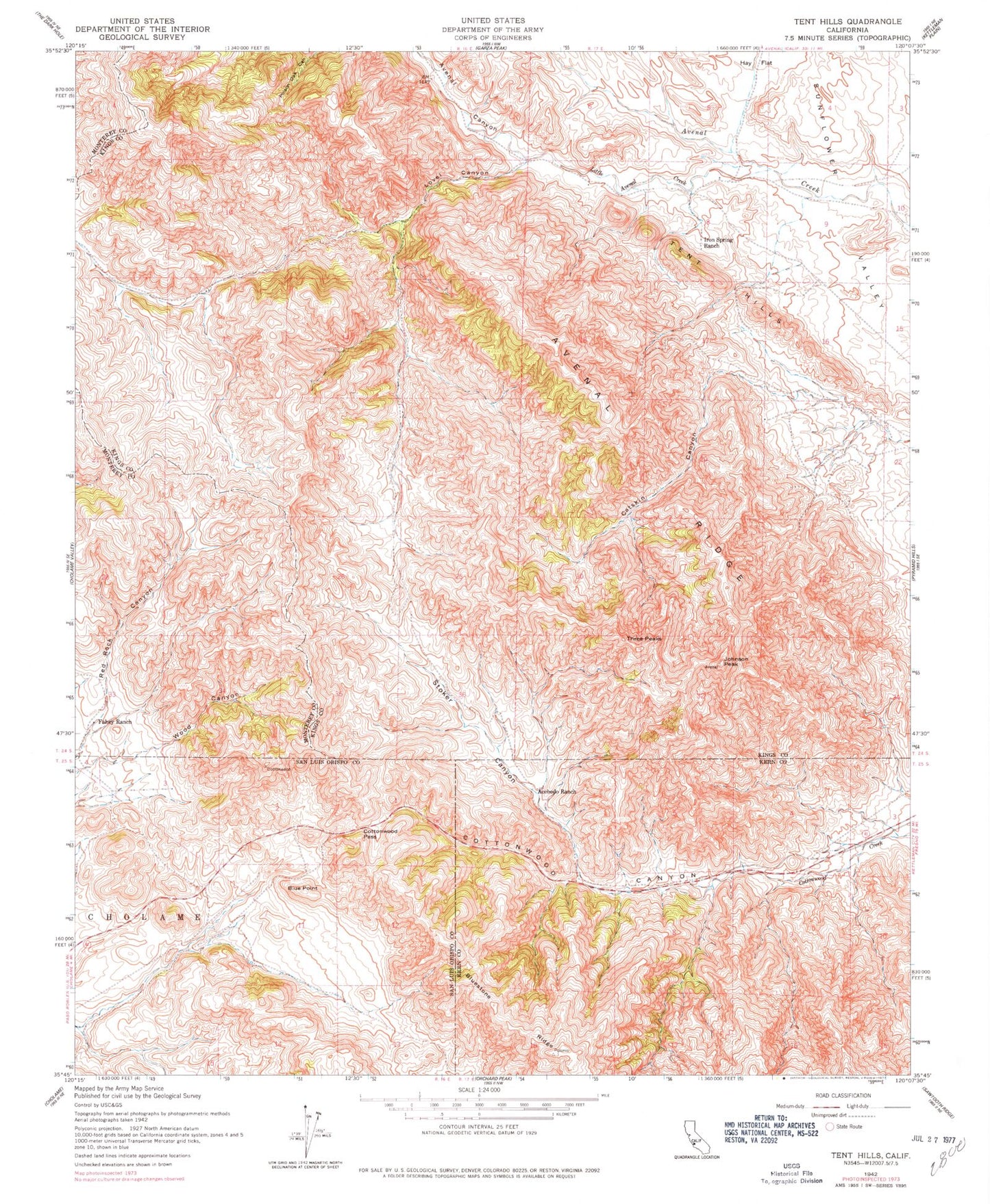
Historical USGS topographic quad map of Tent Hills in the state of California. Map scale may vary for some years, but is generally around 1:24,000. Print size is approximately 24" x 27"
This quadrangle is in the following counties: Kern, Kings, Monterey, San Luis Obispo.
The map contains contour lines, roads, rivers, towns, and lakes. Printed on high-quality waterproof paper with UV fade-resistant inks, and shipped rolled.
Contains the following named places: Acebedo, Acebedo Ranch, Avenal Canyon, Avenal Ridge, Blue Point, Catskin Canyon, Cottonwood Pass, Fahey Ranch, Iron Spring Ranch, Johnson Peak, Little Avenal Creek, Lovel Canyon, Stoker Canyon, Tent Hills, Three Peaks, Wood Canyon