
MyTopo
Classic USGS Tepee Buttes North Dakota 7.5'x7.5' Topo Map
Regular price
$16.95
Regular price
Sale price
$16.95
Unit price
per
Couldn't load pickup availability
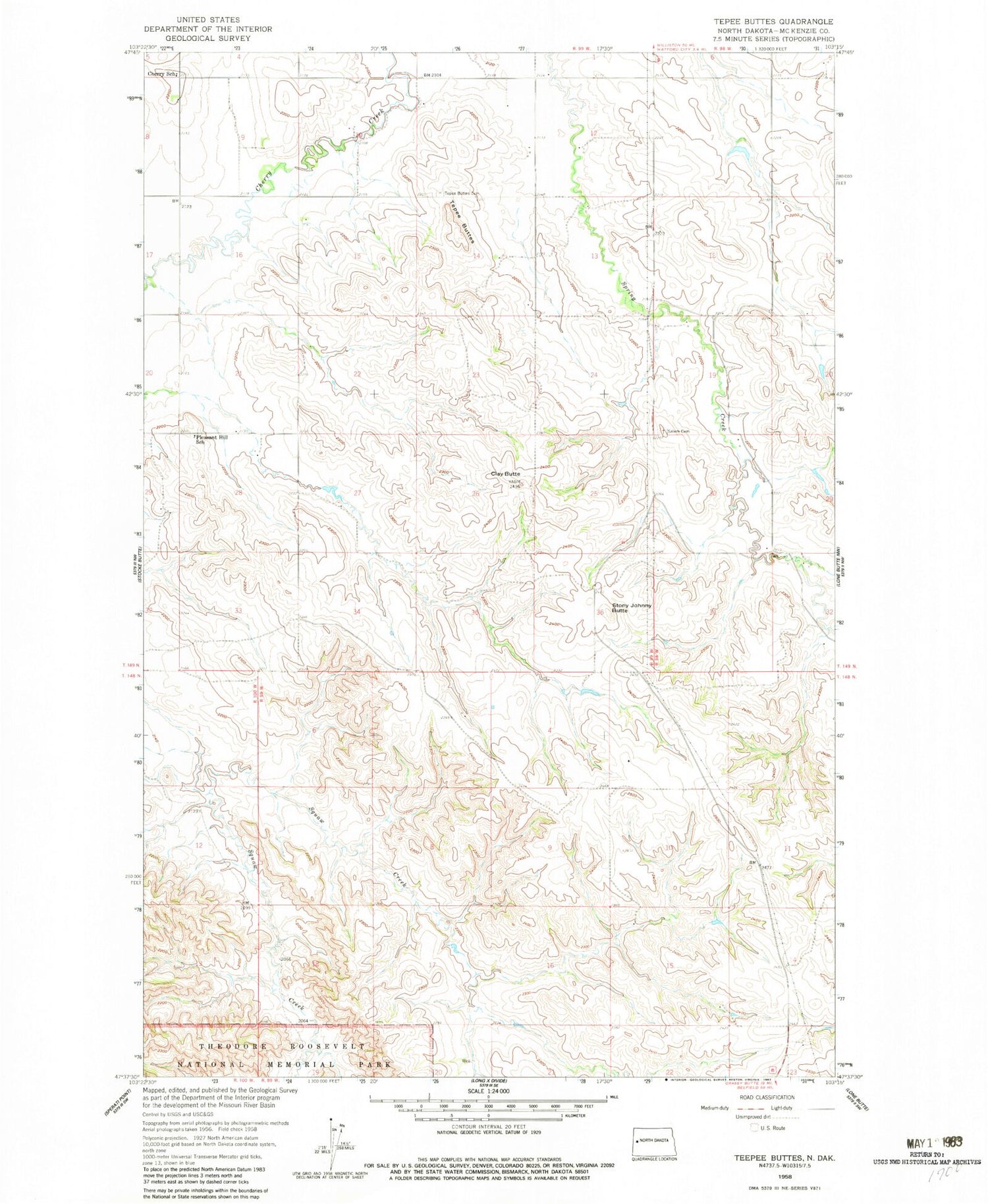
Historical USGS topographic quad map of Tepee Buttes in the state of North Dakota. Map scale may vary for some years, but is generally around 1:24,000. Print size is approximately 24" x 27"
This quadrangle is in the following counties: McKenzie.
The map contains contour lines, roads, rivers, towns, and lakes. Printed on high-quality waterproof paper with UV fade-resistant inks, and shipped rolled.
Contains the following named places: Cherry Cemetery, Cherry School, Clay Butte, E Nordsven Junior Ranch, G Wright Ranch, Pleasant Hill School, Roughrider Dam, Salem Cemetery, Stock Dam P10 A1 Reservoir, Stony Johnny Butte, Tepee Buttes


