MyTopo
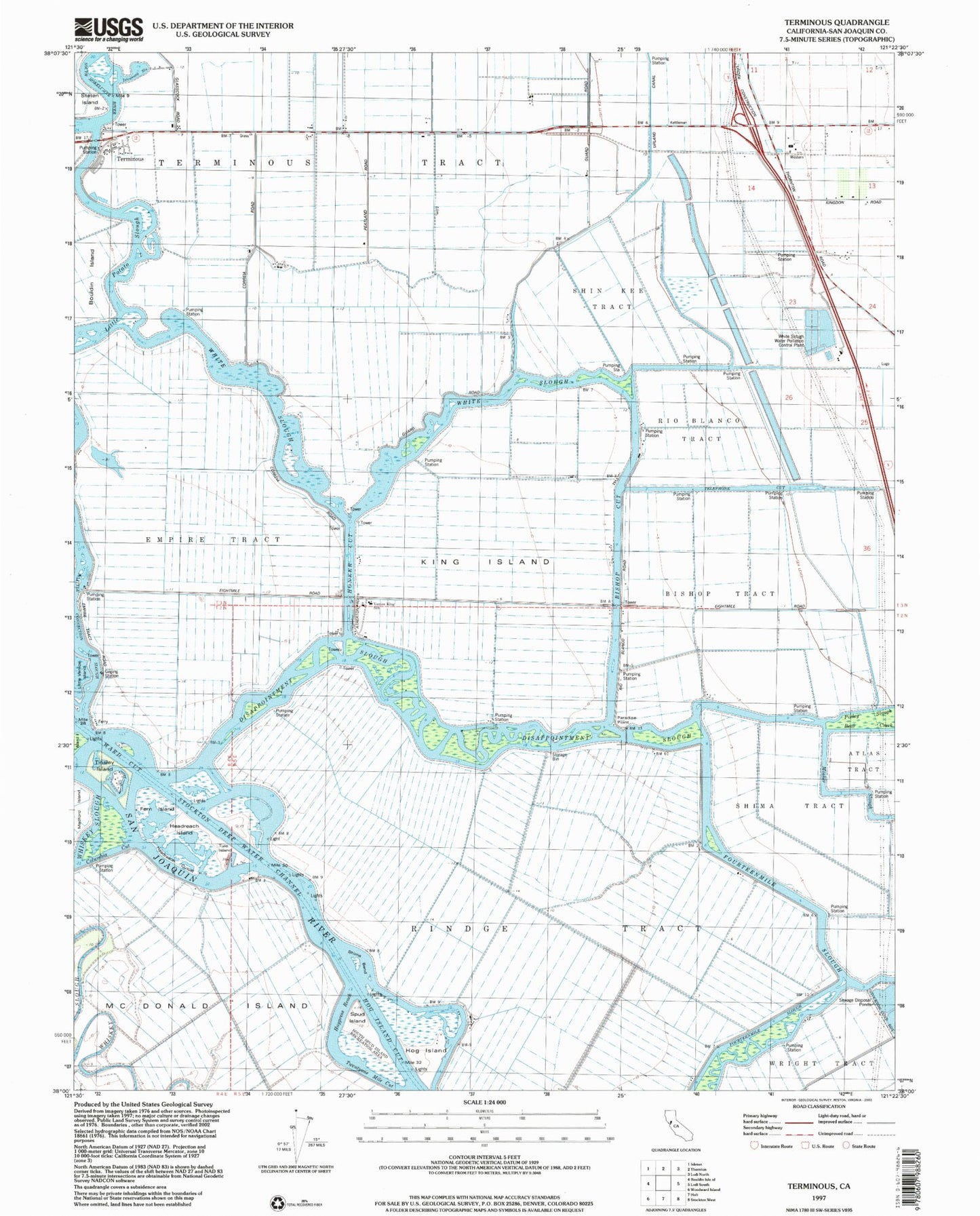
Classic USGS Terminous California 7.5'x7.5' Topo Map
Couldn't load pickup availability
Historical USGS topographic quad map of Terminous in the state of California. Map scale may vary for some years, but is generally around 1:24,000. Print size is approximately 24" x 27"
This quadrangle is in the following counties: San Joaquin.
The map contains contour lines, roads, rivers, towns, and lakes. Printed on high-quality waterproof paper with UV fade-resistant inks, and shipped rolled.
Contains the following named places: Atlas Tract, Bear Creek, Bishop Cut, Bishop Tract, Devils Isle, Disappointment Slough, Empire Tract, Fern Island, Fourteenmile Slough, Haypress Reach, Headreach Cutoff, Headreach Island, Headreach Landing, Hog Island, Hog Island Cut, Honker Cut, Islemouth Slough, King Island, Lima Ranch, Little Connection Slough, Little Potato Slough, Lost Isle Seaplane Base, McDonald Island, Paradise Point, Pixley Slough, Rindge Tract, Rio Blanco Tract, Shima Bend, Shima Tract, Shin Kee Tract, South Spud Island Recreation Area, Spud Island, Telephone Cut, Terminous, Terminous Census Designated Place, Terminous Tract, Tinsley Island, Tule Island, Twentyone Mile Cut, Venice King School, Venice School, Ward Cut, Whiskey Slough, White Slough, White Slough Water Pollution Control Plant, Woodbridge Fire Protection District Station 4, ZIP Code: 95219